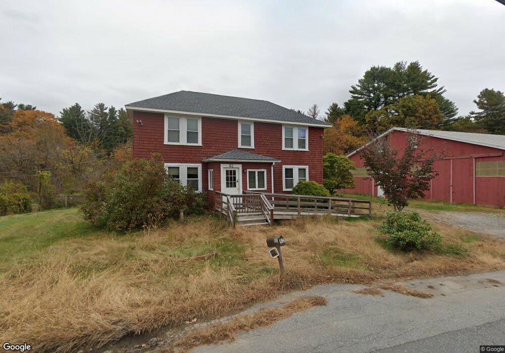
82 Morse Rd Sudbury, MA 01776
Estimated Value: $5,583,121
3
Beds
2
Baths
1,346
Sq Ft
$4,148/Sq Ft
Est. Value
About This Home
This home is located at 82 Morse Rd, Sudbury, MA 01776 and is currently estimated at $5,583,121, approximately $4,147 per square foot. 82 Morse Rd is a home located in Middlesex County with nearby schools including General John Nixon Elementary School, Ephraim Curtis Middle School, and Lincoln-Sudbury Regional High School.
Ownership History
Date
Name
Owned For
Owner Type
Purchase Details
Closed on
Jul 10, 2019
Sold by
Broadacre Farm T
Bought by
Sudbury Town Of
Current Estimated Value
Purchase Details
Closed on
Nov 20, 2018
Sold by
Broadacre Farm T
Bought by
Sudbury Town Of
Purchase Details
Closed on
Nov 13, 2018
Sold by
Haynes Honora
Bought by
Broadcare Farms T
Create a Home Valuation Report for This Property
The Home Valuation Report is an in-depth analysis detailing your home's value as well as a comparison with similar homes in the area
Home Values in the Area
Average Home Value in this Area
Purchase History
| Date | Buyer | Sale Price | Title Company |
|---|---|---|---|
| Sudbury Town Of | $3,640,000 | -- | |
| Sudbury Town Of | $1,860,000 | -- | |
| Broadcare Farms T | -- | -- | |
| Broadcare Farms T | -- | -- |
Source: Public Records
Tax History
| Year | Tax Paid | Tax Assessment Tax Assessment Total Assessment is a certain percentage of the fair market value that is determined by local assessors to be the total taxable value of land and additions on the property. | Land | Improvement |
|---|---|---|---|---|
| 2025 | -- | $2,763,500 | $2,377,800 | $385,700 |
| 2024 | -- | $2,736,400 | $2,364,200 | $372,200 |
| 2023 | $0 | $2,668,700 | $2,331,000 | $337,700 |
| 2022 | $0 | $2,626,000 | $2,296,600 | $329,400 |
| 2021 | $0 | $2,611,700 | $2,296,600 | $315,100 |
| 2020 | $0 | $890,900 | $575,800 | $315,100 |
| 2019 | $0 | $698,405 | $383,305 | $315,100 |
| 2018 | $0 | $709,518 | $403,318 | $306,200 |
| 2017 | -- | $703,968 | $398,668 | $305,300 |
| 2016 | -- | $687,436 | $383,036 | $304,400 |
| 2015 | -- | $671,436 | $367,936 | $303,500 |
| 2014 | -- | $658,836 | $357,136 | $301,700 |
Source: Public Records
Map
Nearby Homes
- 427 Concord Rd
- 26 Clark Rd
- 111 Willis Rd
- 46 Brewster Rd
- 55 Widow Rites Ln
- 45 Widow Rites Ln
- 8-10 Concord Road (&356 Bostonpost)
- 62 Churchill St
- 11 October Rd
- 45 Webster Cir
- 1B Quaboag Valley Co-Op St
- Lot 5 Sailaway Ln
- Lot 4 Sailaway Ln
- 2 Betts Way
- 8 Mina Way
- Lot 9 Sailaway Ln
- 35 Mt Alworth Rd
- 4 Betts Way
- 377 Willis Rd
- 42 Dakin Rd
Your Personal Tour Guide
Ask me questions while you tour the home.