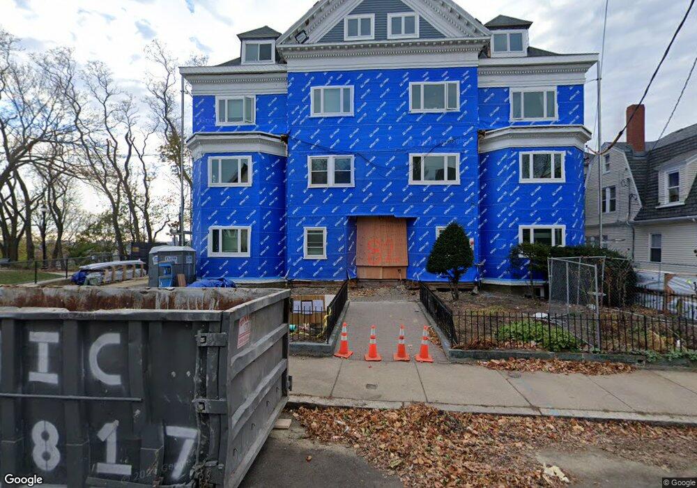
82 Munroe St Unit 4 Somerville, MA 02143
Prospect Hill NeighborhoodEstimated Value: $714,000 - $852,000
2
Beds
2
Baths
976
Sq Ft
$774/Sq Ft
Est. Value
About This Home
This home is located at 82 Munroe St Unit 4, Somerville, MA 02143 and is currently estimated at $755,421, approximately $773 per square foot. 82 Munroe St Unit 4 is a home located in Middlesex County with nearby schools including Somerville High School, Prospect Hill Academy Upper Elementary Campus, and Bright Future Educare Center.
Ownership History
Date
Name
Owned For
Owner Type
Purchase Details
Closed on
Jan 30, 2004
Sold by
Powell Lavatus V
Bought by
Broks Ieva
Current Estimated Value
Create a Home Valuation Report for This Property
The Home Valuation Report is an in-depth analysis detailing your home's value as well as a comparison with similar homes in the area
Home Values in the Area
Average Home Value in this Area
Purchase History
| Date | Buyer | Sale Price | Title Company |
|---|---|---|---|
| Broks Ieva | $329,000 | -- |
Source: Public Records
Tax History
| Year | Tax Paid | Tax Assessment Tax Assessment Total Assessment is a certain percentage of the fair market value that is determined by local assessors to be the total taxable value of land and additions on the property. | Land | Improvement |
|---|---|---|---|---|
| 2025 | $6,719 | $615,900 | $0 | $615,900 |
| 2024 | $6,205 | $589,800 | $0 | $589,800 |
| 2023 | $6,023 | $582,500 | $0 | $582,500 |
| 2022 | $5,760 | $565,800 | $0 | $565,800 |
| 2021 | $5,648 | $554,300 | $0 | $554,300 |
| 2020 | $5,169 | $512,300 | $0 | $512,300 |
| 2019 | $5,002 | $464,900 | $0 | $464,900 |
| 2018 | $5,427 | $479,800 | $0 | $479,800 |
| 2017 | $4,657 | $399,100 | $0 | $399,100 |
| 2016 | $5,205 | $415,400 | $0 | $415,400 |
| 2015 | $4,382 | $347,500 | $0 | $347,500 |
Source: Public Records
Map
Nearby Homes
- 30 Walnut St
- 16 Columbus Ave
- 300 Somerville Ave
- 30 A Summer St
- 34 Putnam St
- 8 Everett St
- 142 Cross St
- 367 Somerville Ave Unit G
- 25 Alston St
- 74 Gilman St Unit 1
- 379 Somerville Ave
- 397 Somerville Ave
- 75 School St
- 232 Pearl St
- 84 Cross St
- 25 Avon St
- 36 Everett Ave
- 26 Adrian St
- 347 Washington St
- 84 Prospect St Unit 104
- 82 Munroe St Unit 9
- 82 Munroe St Unit 8
- 82 Munroe St Unit 7
- 82 Munroe St Unit 6
- 82 Munroe St Unit 5
- 82 Munroe St Unit 3
- 82 Munroe St Unit 2
- 82 Munroe St Unit 16
- 82 Munroe St Unit 15
- 82 Munroe St Unit 14
- 82 Munroe St Unit 13
- 82 Munroe St Unit 12
- 82 Munroe St Unit 11
- 82 Munroe St Unit 10
- 82 Munroe St Unit 1
- 82 Munroe St Unit 2,82
- 82 Munroe St
- 86 Munroe St
- 86 Munroe St Unit 1
- 67 Columbus Ave
Your Personal Tour Guide
Ask me questions while you tour the home.