Estimated Value: $506,000 - $592,000
3
Beds
2
Baths
1,850
Sq Ft
$305/Sq Ft
Est. Value
About This Home
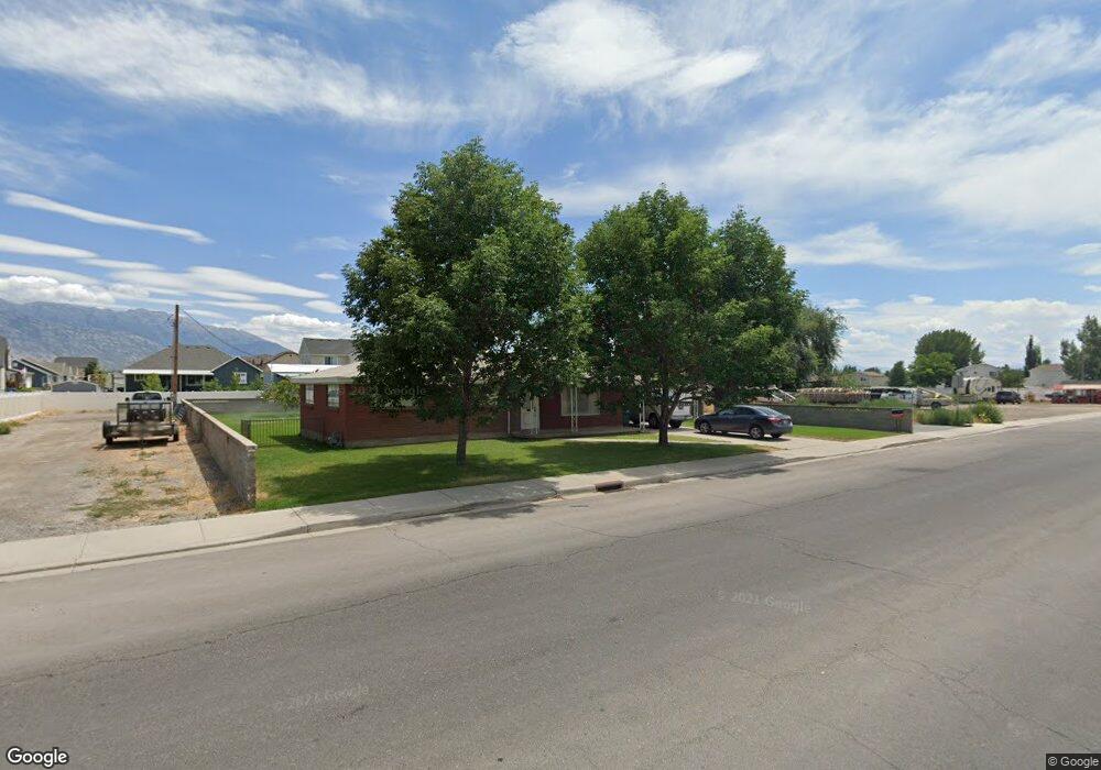
This home is located at 82 N 1700 W, Lehi, UT 84043 and is currently estimated at $564,115, approximately $304 per square foot. 82 N 1700 W is a home with nearby schools including River Rock Elementary, Willowcreek Middle School, and Lehi High School.
Ownership History
Date
Name
Owned For
Owner Type
Purchase Details
Closed on
Oct 11, 2016
Sold by
Larson Lynn and Peterson Niela
Bought by
Larson Gerald
Current Estimated Value
Home Financials for this Owner
Home Financials are based on the most recent Mortgage that was taken out on this home.
Original Mortgage
$180,000
Interest Rate
3.46%
Mortgage Type
New Conventional
Purchase Details
Closed on
Aug 10, 2012
Sold by
Larson Rex N and Evelyn S Larson Family Trust
Bought by
Larson Lynn and Peterson Neila
Create a Home Valuation Report for This Property
The Home Valuation Report is an in-depth analysis detailing your home's value as well as a comparison with similar homes in the area
Home Values in the Area
Average Home Value in this Area
Purchase History
| Date | Buyer | Sale Price | Title Company |
|---|---|---|---|
| Larson Gerald | -- | Hickman Land Title Co | |
| Larson Lynn | -- | None Available |
Source: Public Records
Mortgage History
| Date | Status | Borrower | Loan Amount |
|---|---|---|---|
| Closed | Larson Gerald | $180,000 |
Source: Public Records
Tax History Compared to Growth
Tax History
| Year | Tax Paid | Tax Assessment Tax Assessment Total Assessment is a certain percentage of the fair market value that is determined by local assessors to be the total taxable value of land and additions on the property. | Land | Improvement |
|---|---|---|---|---|
| 2025 | $2,319 | $298,595 | $340,800 | $202,100 |
| 2024 | $2,319 | $271,370 | $0 | $0 |
| 2023 | $2,099 | $266,695 | $0 | $0 |
| 2022 | $2,080 | $256,245 | $0 | $0 |
| 2021 | $1,717 | $319,800 | $197,200 | $122,600 |
| 2020 | $1,614 | $297,200 | $182,600 | $114,600 |
| 2019 | $1,553 | $297,200 | $182,600 | $114,600 |
| 2018 | $1,499 | $271,100 | $156,500 | $114,600 |
| 2017 | $1,501 | $144,375 | $0 | $0 |
| 2016 | -- | $143,440 | $0 | $0 |
| 2015 | $1,350 | $114,345 | $0 | $0 |
| 2014 | $1,089 | $91,685 | $0 | $0 |
Source: Public Records
Map
Nearby Homes
- 131 S 1900 W Unit 2
- 161 S 1475 W
- 1784 W Grays Place
- 1743 W Grays Place
- 2162 W Main St Unit E303
- 2178 W Main St Unit D301
- 380 S 1500 W
- 202 S 2035 W
- 41 N 2150 W
- 1215 W 125 S
- 1356 W 425 S
- 1379 W 425 S
- 374 S 1330 West St
- 1363 W 425 S
- The Annie Plan at Longhorn Meadows
- The Kaitlyn Plan at Longhorn Meadows
- The Autumn Plan at Longhorn Meadows
- The Aurora Plan at Longhorn Meadows
- The Roosevelt Plan at Longhorn Meadows
- The Christine Plan at Longhorn Meadows
- 99 N 1700 W
- 71 N Revere Ln
- 1679 W Brooke St
- 1659 W Brooke St
- 71 N Revere Ln
- 97 N Revere Ln
- 1709 W Brooke St
- 103 N Revere Ln
- 131 N Revere Ln Unit 204
- 1749 W Brooke St Unit 113
- 1749 W Brooke St
- 1723 W Brooke St
- 1676 W Brooke St Unit 239
- 1676 W Brooke St
- 1652 W Brooke St Unit 238
- 1761 W Brooke St
- 1890 W Main St
- 1591 W Jefferson St Unit 208
- 1591 W Jefferson St
- 1596 W Jefferson St Unit 230