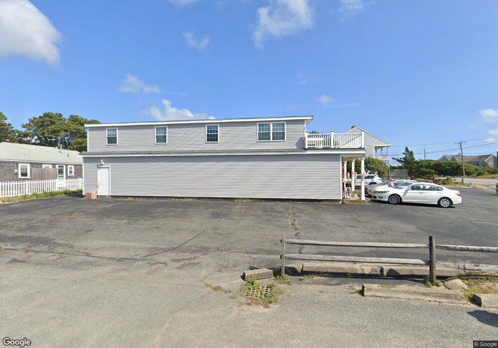
82 Ocean Dr Dennis Port, MA 02639
Dennis Port NeighborhoodEstimated Value: $998,132
--
Bed
--
Bath
5,700
Sq Ft
$175/Sq Ft
Est. Value
About This Home
This home is located at 82 Ocean Dr, Dennis Port, MA 02639 and is currently estimated at $998,132, approximately $175 per square foot. 82 Ocean Dr is a home located in Barnstable County with nearby schools including Dennis-Yarmouth Regional High School and St. Pius X. School.
Ownership History
Date
Name
Owned For
Owner Type
Purchase Details
Closed on
Dec 30, 2013
Sold by
Howard Robert T
Bought by
Robert T Howard Ft
Current Estimated Value
Purchase Details
Closed on
Dec 24, 1984
Bought by
Robert T Howard Ft
Create a Home Valuation Report for This Property
The Home Valuation Report is an in-depth analysis detailing your home's value as well as a comparison with similar homes in the area
Home Values in the Area
Average Home Value in this Area
Purchase History
| Date | Buyer | Sale Price | Title Company |
|---|---|---|---|
| Robert T Howard Ft | -- | -- | |
| Robert T Howard Ft | -- | -- |
Source: Public Records
Tax History Compared to Growth
Tax History
| Year | Tax Paid | Tax Assessment Tax Assessment Total Assessment is a certain percentage of the fair market value that is determined by local assessors to be the total taxable value of land and additions on the property. | Land | Improvement |
|---|---|---|---|---|
| 2025 | $2,899 | $669,600 | $288,700 | $380,900 |
| 2024 | $2,819 | $642,200 | $278,200 | $364,000 |
| 2023 | $2,855 | $611,400 | $265,000 | $346,400 |
| 2022 | $3,228 | $576,500 | $249,900 | $326,600 |
| 2021 | $3,316 | $549,900 | $245,000 | $304,900 |
| 2020 | $3,280 | $537,700 | $240,200 | $297,500 |
| 2019 | $3,273 | $530,400 | $240,200 | $290,200 |
| 2018 | $3,380 | $533,100 | $240,200 | $292,900 |
| 2017 | $3,279 | $533,100 | $240,200 | $292,900 |
| 2016 | $3,522 | $539,400 | $240,200 | $299,200 |
| 2015 | $3,452 | $539,400 | $240,200 | $299,200 |
| 2014 | $2,961 | $466,300 | $240,200 | $226,100 |
Source: Public Records
Map
Nearby Homes
- 112 Old Wharf Rd Unit E4
- 112 Old Wharf Rd Unit E1
- 120 Old Wharf Rd Unit 11
- 64 Beaten Rd
- 37 Ocean Dr Unit 2
- 154 Old Wharf Rd Unit 26
- 154 Old Wharf Rd Unit 14
- 217 Old Wharf Rd Unit 64
- 6 Baker Way
- 241 Old Wharf Rd Unit 82
- 241 Old Wharf Rd Unit 127
- 241 Old Wharf Rd Unit 90
- 80 Michaels Ave
- 262 Old Wharf Rd Unit 67
- 262 Old Wharf Rd Unit 5
- 262 Old Wharf Rd Unit 5
- 262 Old Wharf Rd Unit 20
- 262 Old Wharf Rd Unit 87
- 37 Beach Hills Rd
- 31 Easy St
- 78 Ocean Dr
- 89 Susan Ruth Rd
- 84 Old Wharf Rd
- 85 Susan Ruth Rd
- 76 Ocean Dr
- 83 Susan Ruth Rd
- 72 Ocean Dr
- 77 Ocean Dr
- 72 Old Wharf Rd
- 73 Ocean Dr
- 73 Ocean Dr Unit 1 & 2
- 73 Ocean Dr Unit 2
- 73 Ocean Dr Unit 1
- 94 Old Wharf Rd Unit 10
- 94 Old Wharf Rd Unit 9
- 94 Old Wharf Rd Unit 8
- 94 Old Wharf Rd Unit 7
- 94 Old Wharf Rd Unit 5
- 94 Old Wharf Rd Unit 4
- 94 Old Wharf Rd Unit 3