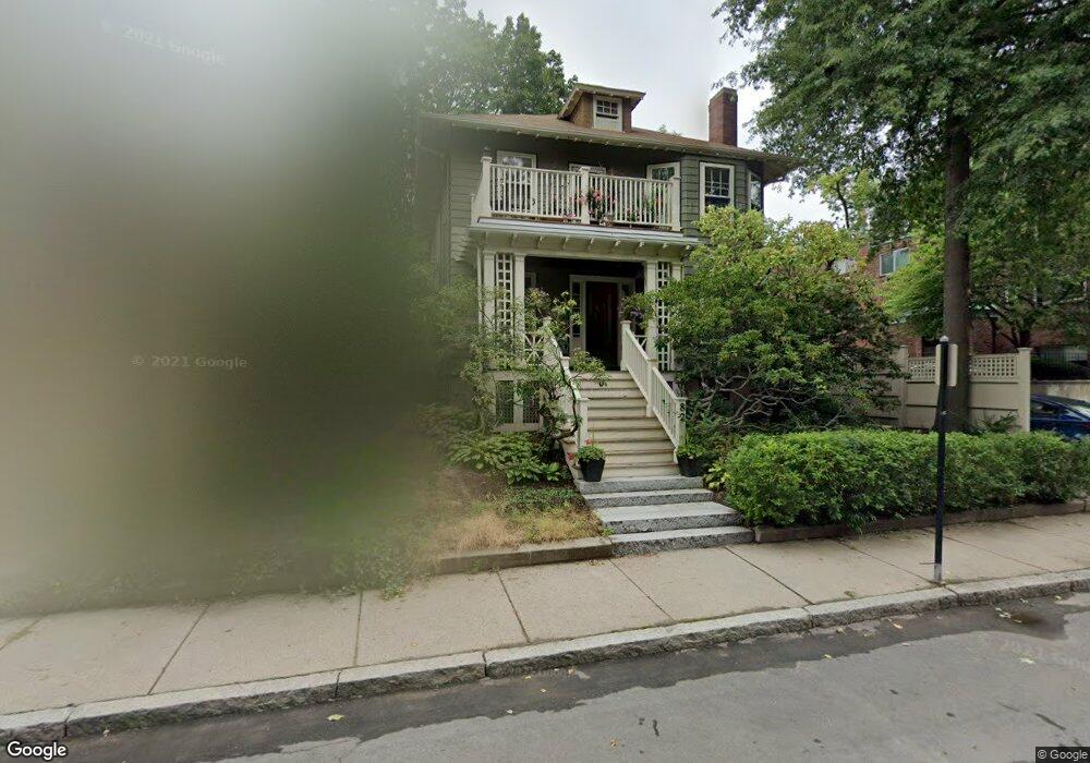
82 Perry St Unit 1 Brookline, MA 02446
Coolidge Corner NeighborhoodEstimated Value: $830,000 - $1,193,000
2
Beds
1
Bath
1,330
Sq Ft
$782/Sq Ft
Est. Value
About This Home
This home is located at 82 Perry St Unit 1, Brookline, MA 02446 and is currently estimated at $1,040,568, approximately $782 per square foot. 82 Perry St Unit 1 is a home located in Norfolk County with nearby schools including Pierce School, Brookline High School, and St. Mary of the Assumption Elementary School.
Ownership History
Date
Name
Owned For
Owner Type
Purchase Details
Closed on
Jun 10, 2008
Sold by
Gelwan Eliot
Bought by
Gelwan Eliot and Hamm Barbara C
Current Estimated Value
Home Financials for this Owner
Home Financials are based on the most recent Mortgage that was taken out on this home.
Original Mortgage
$250,000
Outstanding Balance
$160,915
Interest Rate
6.11%
Mortgage Type
Purchase Money Mortgage
Estimated Equity
$879,653
Create a Home Valuation Report for This Property
The Home Valuation Report is an in-depth analysis detailing your home's value as well as a comparison with similar homes in the area
Home Values in the Area
Average Home Value in this Area
Purchase History
| Date | Buyer | Sale Price | Title Company |
|---|---|---|---|
| Gelwan Eliot | -- | -- |
Source: Public Records
Mortgage History
| Date | Status | Borrower | Loan Amount |
|---|---|---|---|
| Open | Gelwan Eliot | $250,000 |
Source: Public Records
Tax History
| Year | Tax Paid | Tax Assessment Tax Assessment Total Assessment is a certain percentage of the fair market value that is determined by local assessors to be the total taxable value of land and additions on the property. | Land | Improvement |
|---|---|---|---|---|
| 2025 | $9,680 | $980,700 | $0 | $980,700 |
| 2024 | $9,394 | $961,500 | $0 | $961,500 |
| 2023 | $8,426 | $845,100 | $0 | $845,100 |
| 2022 | $8,361 | $820,500 | $0 | $820,500 |
| 2021 | $7,962 | $812,400 | $0 | $812,400 |
| 2020 | $7,602 | $804,400 | $0 | $804,400 |
| 2019 | $7,178 | $766,100 | $0 | $766,100 |
| 2018 | $6,689 | $707,100 | $0 | $707,100 |
| 2017 | $6,468 | $654,700 | $0 | $654,700 |
| 2016 | $6,202 | $595,200 | $0 | $595,200 |
| 2015 | $5,779 | $541,100 | $0 | $541,100 |
| 2014 | $5,731 | $503,200 | $0 | $503,200 |
Source: Public Records
Map
Nearby Homes
- 65 Francis St Unit A
- 37 Saint Paul St Unit 3
- 61 Toxteth St
- 15 Kent Square
- 106 Brook St
- 216 Aspinwall Ave
- 216 Aspinwall Ave Unit 3
- 45 Longwood Ave Unit 712
- 45 Longwood Ave Unit 812
- 60 Longwood Ave Unit 802
- 60 Longwood Ave Unit 307
- 131 Sewall Ave Unit 61
- 50 Longwood Ave Unit 518
- 50 Longwood Ave Unit 611
- 100 Sewall Ave Unit 5
- 1243 Beacon St Unit 5A
- 20 Webster St Unit 307
- 58 Kent St Unit 302
- 58 Kent St Unit 301
- 58 Kent St Unit 303
- 82 Perry St Unit 2
- 80 Perry St
- 76 Perry St
- 59 Saint Paul St Unit 29
- 59 Saint Paul St Unit 27
- 59 Saint Paul St Unit 26
- 59 Saint Paul St Unit 25
- 59 Saint Paul St Unit 24
- 59 Saint Paul St Unit 3
- 59 Saint Paul St Unit 1
- 59 Saint Paul St Unit 2
- 59 Saint Paul St Unit 3, 59
- 74 Perry St
- 74 Perry St Unit 2
- 57 St Paul St Unit 22
- 55 Saint Paul St Unit 13
- 55 Saint Paul St Unit 11
- 55 Saint Paul St Unit 10
- 55 Saint Paul St Unit 9
- 55 Saint Paul St Unit 8
Your Personal Tour Guide
Ask me questions while you tour the home.