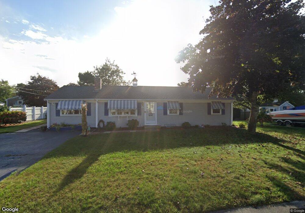
82 Polly Fisk Ln Dennis Port, MA 02639
Dennis Port NeighborhoodEstimated Value: $527,000 - $780,000
3
Beds
1
Bath
1,378
Sq Ft
$503/Sq Ft
Est. Value
About This Home
This home is located at 82 Polly Fisk Ln, Dennis Port, MA 02639 and is currently estimated at $692,516, approximately $502 per square foot. 82 Polly Fisk Ln is a home located in Barnstable County with nearby schools including Dennis-Yarmouth Regional High School and St. Pius X. School.
Ownership History
Date
Name
Owned For
Owner Type
Purchase Details
Closed on
Sep 9, 2016
Sold by
Donovan Jean M Est
Bought by
Perrotta Jean and Perrotta Thomas
Current Estimated Value
Purchase Details
Closed on
Jun 2, 2003
Sold by
Stroshine Dean E and Stroshine Berta A
Bought by
Bondaryk John M and Bondaryk Zita H
Home Financials for this Owner
Home Financials are based on the most recent Mortgage that was taken out on this home.
Original Mortgage
$43,900
Interest Rate
5.86%
Mortgage Type
Purchase Money Mortgage
Purchase Details
Closed on
Apr 5, 2002
Sold by
Arcott Jeanne M and Przybylowicz Doreen M
Bought by
Macdonald James R
Create a Home Valuation Report for This Property
The Home Valuation Report is an in-depth analysis detailing your home's value as well as a comparison with similar homes in the area
Home Values in the Area
Average Home Value in this Area
Purchase History
| Date | Buyer | Sale Price | Title Company |
|---|---|---|---|
| Perrotta Jean | $300,000 | -- | |
| Bondaryk John M | $54,900 | -- | |
| Macdonald James R | $42,900 | -- |
Source: Public Records
Mortgage History
| Date | Status | Borrower | Loan Amount |
|---|---|---|---|
| Previous Owner | Bondaryk John M | $43,900 |
Source: Public Records
Tax History Compared to Growth
Tax History
| Year | Tax Paid | Tax Assessment Tax Assessment Total Assessment is a certain percentage of the fair market value that is determined by local assessors to be the total taxable value of land and additions on the property. | Land | Improvement |
|---|---|---|---|---|
| 2025 | $2,964 | $684,500 | $204,000 | $480,500 |
| 2024 | $2,826 | $643,800 | $196,100 | $447,700 |
| 2023 | $2,734 | $585,400 | $178,300 | $407,100 |
| 2022 | $2,580 | $460,800 | $160,600 | $300,200 |
| 2021 | $5,083 | $454,700 | $180,000 | $274,700 |
| 2020 | $2,481 | $406,700 | $157,500 | $249,200 |
| 2019 | $2,319 | $375,900 | $154,400 | $221,500 |
| 2018 | $4,452 | $350,800 | $147,000 | $203,800 |
| 2017 | $2,053 | $333,800 | $136,500 | $197,300 |
| 2016 | $2,060 | $315,500 | $147,000 | $168,500 |
| 2015 | $2,019 | $315,500 | $147,000 | $168,500 |
| 2014 | $1,870 | $294,500 | $126,000 | $168,500 |
Source: Public Records
Map
Nearby Homes
- 80 Michaels Ave
- 19 Standish Way
- 31 Easy St
- 22 Wixon Rd
- 37 Ocean Dr Unit 2
- 4 Coffey Ln
- 71 Main St
- 12 Spoonbill Rd
- 125 Main St Unit 3
- 64 Beaten Rd
- 72 Bassett Ln
- 15 Woodside Park Rd
- 112 Old Wharf Rd Unit E4
- 112 Old Wharf Rd Unit E1
- 154 Old Wharf Rd Unit 26
- 154 Old Wharf Rd Unit 14
- 268 Main St
- 120 Old Wharf Rd Unit 11
- 61 Trotters Ln
- 113 Old Wharf Rd Unit 7
- 82 Polly Fisk Ln Unit 22
- 82 Polly Fisk Ln Unit 7
- 82 Polly Fisk Ln Unit 13
- 82 Polly Fisk Ln Unit 8
- 82 Polly Fisk Ln Unit 12
- 82 Polly Fisk Ln Unit 16
- 82 Polly Fisk Condo SE Unit 12
- 82 Polly Fisk Condo SE Unit 16
- 82 Polly Fisk-5 Rd Unit 5
- 77 Cornell Dr
- 81 Cornell Dr
- 79 Polly Fisk Ln
- 73 Cornell Dr
- 88 Polly Fisk Ln
- 76 Polly Fisk Ln
- 85 Polly Fisk Ln
- 83 Cornell Dr
- 73 Polly Fisk Ln
- 69 Cornell Dr
- 94 Lawrence Rd