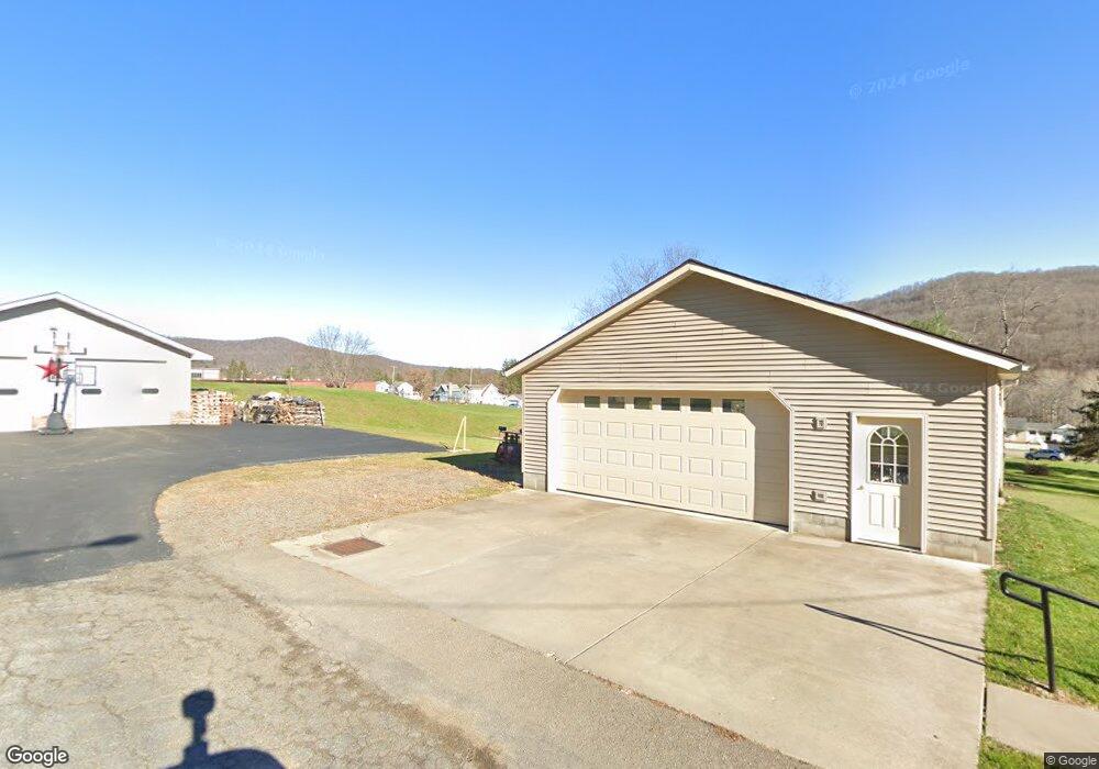
82 Rodgar Ln Bradford, PA 16701
Estimated Value: $41,000 - $168,034
--
Bed
--
Bath
1,040
Sq Ft
$127/Sq Ft
Est. Value
About This Home
This home is located at 82 Rodgar Ln, Bradford, PA 16701 and is currently estimated at $132,009, approximately $126 per square foot. 82 Rodgar Ln is a home located in McKean County with nearby schools including George Blaisdell Elementary School, School Street Elementary School, and Floyd C. Fretz Middle School.
Ownership History
Date
Name
Owned For
Owner Type
Purchase Details
Closed on
Jun 23, 2022
Sold by
Tanner Family 2017 Irrevocable Trust and Tanner Larry E
Bought by
Tanner Family 2017 Irrevocable Trust
Current Estimated Value
Purchase Details
Closed on
Oct 3, 2017
Sold by
Tanner Larry E and Tanner Deborah A
Bought by
Tanner Larry E and The Tanner Family 2017 Irrevoc
Purchase Details
Closed on
May 19, 2005
Sold by
Tanner Larry E and Tanner Deborah A
Bought by
Tanner Larry E and Tanner Deborah A
Create a Home Valuation Report for This Property
The Home Valuation Report is an in-depth analysis detailing your home's value as well as a comparison with similar homes in the area
Home Values in the Area
Average Home Value in this Area
Purchase History
| Date | Buyer | Sale Price | Title Company |
|---|---|---|---|
| Tanner Family 2017 Irrevocable Trust | -- | None Listed On Document | |
| Tanner Family 2017 Irrevocable Trust | -- | None Listed On Document | |
| Tanner Larry E | -- | None Available | |
| Tanner Larry E | -- | None Available |
Source: Public Records
Tax History Compared to Growth
Tax History
| Year | Tax Paid | Tax Assessment Tax Assessment Total Assessment is a certain percentage of the fair market value that is determined by local assessors to be the total taxable value of land and additions on the property. | Land | Improvement |
|---|---|---|---|---|
| 2025 | $2,410 | $59,320 | $20,640 | $38,680 |
| 2024 | $2,335 | $59,320 | $20,640 | $38,680 |
| 2023 | $2,335 | $59,320 | $20,640 | $38,680 |
| 2022 | $2,036 | $51,710 | $13,030 | $38,680 |
| 2021 | $2,036 | $51,710 | $13,030 | $38,680 |
| 2020 | $1,984 | $51,710 | $13,030 | $38,680 |
| 2019 | $1,984 | $51,710 | $13,030 | $38,680 |
| 2018 | $19 | $51,710 | $13,030 | $38,680 |
| 2017 | -- | $51,710 | $13,030 | $38,680 |
| 2016 | $1,868 | $51,710 | $13,030 | $38,680 |
| 2015 | $66 | $51,710 | $13,030 | $38,680 |
| 2014 | $66 | $51,710 | $13,030 | $38,680 |
Source: Public Records
Map
Nearby Homes
- 7 Louette Dr
- 50 Onofrio St
- 0 W Washington St Unit R1643118
- 126 Barbour St
- 51 Interstate Pkwy
- 63 Southgate Rd
- 112 Clarence St
- 7 Royal Ave
- 173 Pleasant St
- 165 Pleasant St
- 56 Calvin Ct
- 54 Calvin Ct
- 160 Pleasant St
- 107 N Center St
- 53 Orchard Place
- 2 Abbott Rd
- 174 N Bennett St
- 37 Stone Ave
- 19 Parkway Ln
- 11 Boylston St
- 80 Rodgar Ln
- 79 Rodgar Ln
- 78 Rodgar Ln
- 77 Rodgar Ln
- 72 Rodgar Ln
- 84 Dorothy Ln
- 70 Rodgar Ln
- 78 Dorothy Ln
- 468 W Washington St
- 492 W Washington St
- 66 Rodgar Ln
- 85 Dorothy Ln
- 496 W Washington St
- 64 Rodgar Ln
- 65 Rodgar Ln
- 500 W Washington St
- 60 Rodgar Ln
- 508 W Washington St
- 469 W Washington St
- 467 W Washington St