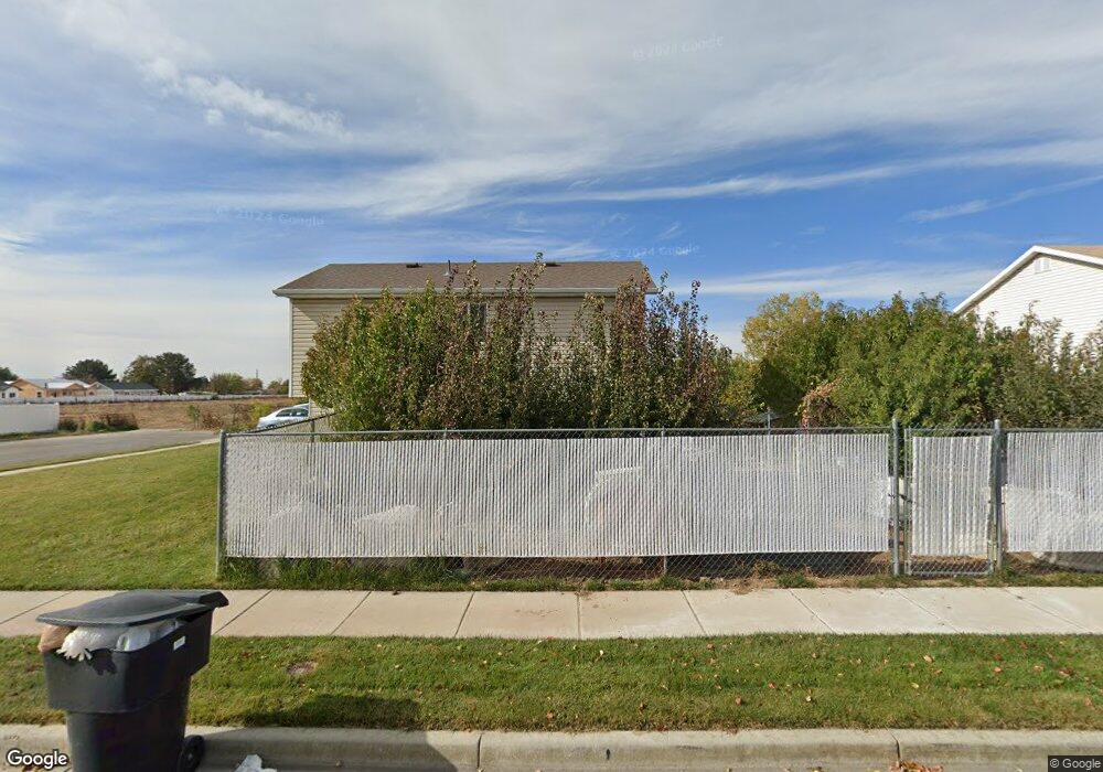
82 S 1700 W West Point, UT 84015
Estimated Value: $420,000 - $465,000
3
Beds
2
Baths
1,151
Sq Ft
$384/Sq Ft
Est. Value
About This Home
This home is located at 82 S 1700 W, West Point, UT 84015 and is currently estimated at $441,730, approximately $383 per square foot. 82 S 1700 W is a home located in Davis County with nearby schools including Lakeside School, West Point Junior High School, and Syracuse High School.
Ownership History
Date
Name
Owned For
Owner Type
Purchase Details
Closed on
Mar 29, 2000
Sold by
Mark Higley Construction Lc
Bought by
Co Thong D and Lim Kin P
Current Estimated Value
Purchase Details
Closed on
Sep 28, 1999
Sold by
Wks Development Llc
Bought by
Mark Higley Construction Lc
Purchase Details
Closed on
Sep 24, 1999
Sold by
Dunbar Development Corp
Bought by
Mark Higley Construction Lc
Create a Home Valuation Report for This Property
The Home Valuation Report is an in-depth analysis detailing your home's value as well as a comparison with similar homes in the area
Home Values in the Area
Average Home Value in this Area
Purchase History
| Date | Buyer | Sale Price | Title Company |
|---|---|---|---|
| Co Thong D | -- | Heritage West Title Insuranc | |
| Mark Higley Construction Lc | -- | United Title Services | |
| Mark Higley Construction Lc | -- | United Title Services |
Source: Public Records
Tax History Compared to Growth
Tax History
| Year | Tax Paid | Tax Assessment Tax Assessment Total Assessment is a certain percentage of the fair market value that is determined by local assessors to be the total taxable value of land and additions on the property. | Land | Improvement |
|---|---|---|---|---|
| 2025 | $2,359 | $221,100 | $98,339 | $122,761 |
| 2024 | $2,255 | $212,299 | $88,578 | $123,721 |
| 2023 | $2,073 | $197,450 | $59,285 | $138,164 |
| 2022 | $2,228 | $384,000 | $100,640 | $283,360 |
| 2021 | $2,010 | $285,000 | $89,293 | $195,707 |
| 2020 | $1,744 | $244,000 | $74,495 | $169,505 |
| 2019 | $1,725 | $238,000 | $72,429 | $165,571 |
| 2018 | $1,537 | $209,000 | $73,577 | $135,423 |
| 2016 | $1,408 | $100,760 | $28,418 | $72,342 |
| 2015 | $1,385 | $93,885 | $28,418 | $65,467 |
| 2014 | $1,294 | $88,967 | $28,418 | $60,549 |
| 2013 | -- | $85,218 | $27,225 | $57,993 |
Source: Public Records
Map
Nearby Homes
- 47 N 1750 W
- 1828 W 75 S
- 1648 W 150 S
- 12 N 2000 W Unit 1
- 135 S 1525 W
- 16 N 1300 W
- 1774 W 400 N
- 575 N 1350 W Unit 137
- 1652 W 560 N
- 4284 W 350 S Unit 615
- 4296 W 350 S Unit 614
- 1350 W 300 N Unit 49
- 1350 W 300 N Unit 38
- 1350 W 300 N Unit 29
- 423 N 1250 W Unit 118
- 587 S 1400 W
- 563 N 1350 W Unit 139
- 1337 W 550 N Unit 195
- 303 N Canterbury Way
- 607 N 2000 W