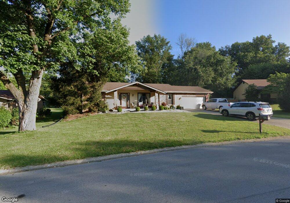
82 S Station Rd Glen Carbon, IL 62034
Estimated Value: $257,000 - $289,000
3
Beds
3
Baths
2,055
Sq Ft
$132/Sq Ft
Est. Value
About This Home
This home is located at 82 S Station Rd, Glen Carbon, IL 62034 and is currently estimated at $271,738, approximately $132 per square foot. 82 S Station Rd is a home located in Madison County with nearby schools including Goshen Elementary School, Liberty Middle School, and Edwardsville High School.
Ownership History
Date
Name
Owned For
Owner Type
Purchase Details
Closed on
Jul 24, 2012
Sold by
Federal National Mortgage Association
Bought by
Cook Edward A and Cook Janhell V
Current Estimated Value
Home Financials for this Owner
Home Financials are based on the most recent Mortgage that was taken out on this home.
Original Mortgage
$115,600
Outstanding Balance
$79,721
Interest Rate
3.65%
Mortgage Type
New Conventional
Estimated Equity
$192,017
Purchase Details
Closed on
Feb 24, 2012
Sold by
Eckford Kenneth S
Bought by
Federal National Mortgage Association
Create a Home Valuation Report for This Property
The Home Valuation Report is an in-depth analysis detailing your home's value as well as a comparison with similar homes in the area
Home Values in the Area
Average Home Value in this Area
Purchase History
| Date | Buyer | Sale Price | Title Company |
|---|---|---|---|
| Cook Edward A | $144,500 | Metro Title And Escrow Co | |
| Federal National Mortgage Association | -- | None Available |
Source: Public Records
Mortgage History
| Date | Status | Borrower | Loan Amount |
|---|---|---|---|
| Open | Cook Edward A | $115,600 |
Source: Public Records
Tax History Compared to Growth
Tax History
| Year | Tax Paid | Tax Assessment Tax Assessment Total Assessment is a certain percentage of the fair market value that is determined by local assessors to be the total taxable value of land and additions on the property. | Land | Improvement |
|---|---|---|---|---|
| 2024 | $4,151 | $69,920 | $11,880 | $58,040 |
| 2023 | $4,151 | $64,880 | $11,020 | $53,860 |
| 2022 | $4,258 | $59,980 | $10,190 | $49,790 |
| 2021 | $3,833 | $56,930 | $9,670 | $47,260 |
| 2020 | $3,717 | $55,170 | $9,370 | $45,800 |
| 2019 | $3,673 | $54,240 | $9,210 | $45,030 |
| 2018 | $3,604 | $51,810 | $8,800 | $43,010 |
| 2017 | $3,547 | $50,710 | $8,610 | $42,100 |
| 2016 | $3,210 | $50,710 | $8,610 | $42,100 |
| 2015 | $2,969 | $47,010 | $7,980 | $39,030 |
| 2014 | $2,969 | $47,010 | $7,980 | $39,030 |
| 2013 | $2,969 | $47,010 | $7,980 | $39,030 |
Source: Public Records
Map
Nearby Homes
- 35 & 36 S Meadow Ln
- 15 Dogwood Ln
- 6589 Oak Hill Manor
- 2709 Hunters Crossing Dr
- 116 Dunwoody Dr
- 7004 Stallion Dr
- 4 Abbey Rd
- 100 Bayhill Blvd
- 7073 Stallion Dr
- 40 Lilac St
- 221 Oaklawn Rd
- 6817 Deer Creek
- 48 Julie Dr
- 6812 Quail Walk
- 37 Julie Dr
- 3160 Birmingham Dr
- 6480 Green Acres
- 104 Oaklawn Dr
- 0 S State Route 159
- 399 Valley View Dr