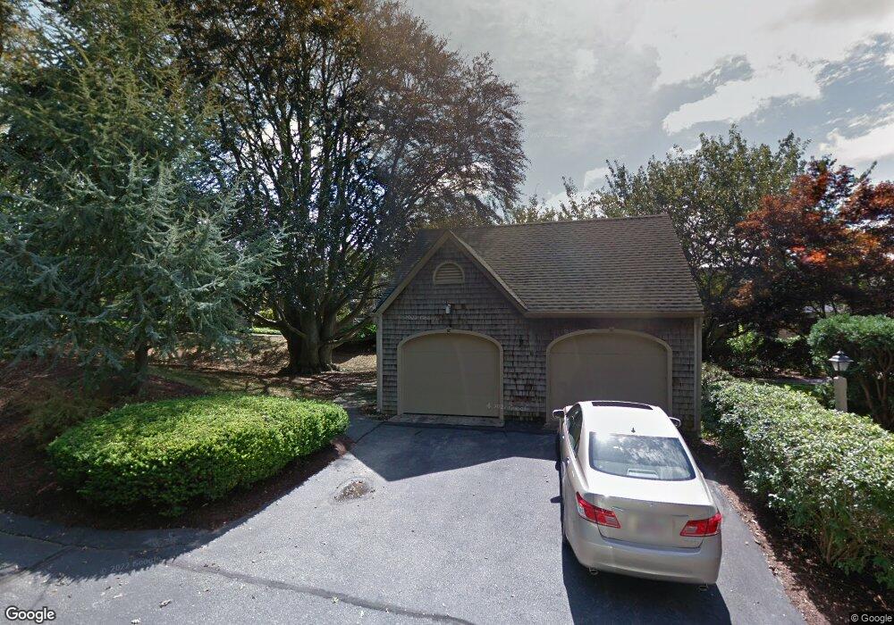
82 Ships Watch Falmouth, MA 02540
Falmouth Village NeighborhoodEstimated Value: $671,000 - $947,000
3
Beds
3
Baths
2,201
Sq Ft
$391/Sq Ft
Est. Value
About This Home
This home is located at 82 Ships Watch, Falmouth, MA 02540 and is currently estimated at $860,394, approximately $390 per square foot. 82 Ships Watch is a home located in Barnstable County with nearby schools including Mullen-Hall School, Lawrence School, and Morse Pond School.
Ownership History
Date
Name
Owned For
Owner Type
Purchase Details
Closed on
Aug 29, 2022
Sold by
Anne M Heger T
Bought by
Wright Elizabeth H
Current Estimated Value
Purchase Details
Closed on
Nov 2, 2020
Sold by
Heger Anne M
Bought by
Anne M Heger T
Purchase Details
Closed on
Feb 1, 1996
Sold by
Smith-Brown Kathleen F
Bought by
Heger Frank J and Heger Anne M
Purchase Details
Closed on
Jan 31, 1992
Sold by
Kaye Allan S and Kaye Leatrice J
Bought by
Brown Neil L and Smith Kathleen F
Home Financials for this Owner
Home Financials are based on the most recent Mortgage that was taken out on this home.
Original Mortgage
$202,300
Interest Rate
8.44%
Mortgage Type
Purchase Money Mortgage
Create a Home Valuation Report for This Property
The Home Valuation Report is an in-depth analysis detailing your home's value as well as a comparison with similar homes in the area
Home Values in the Area
Average Home Value in this Area
Purchase History
| Date | Buyer | Sale Price | Title Company |
|---|---|---|---|
| Wright Elizabeth H | -- | None Available | |
| Anne M Heger T | -- | None Available | |
| Heger Frank J | $335,500 | -- | |
| Brown Neil L | $350,000 | -- |
Source: Public Records
Mortgage History
| Date | Status | Borrower | Loan Amount |
|---|---|---|---|
| Previous Owner | Brown Neil L | $202,300 | |
| Closed | Brown Neil L | $22,700 |
Source: Public Records
Tax History Compared to Growth
Tax History
| Year | Tax Paid | Tax Assessment Tax Assessment Total Assessment is a certain percentage of the fair market value that is determined by local assessors to be the total taxable value of land and additions on the property. | Land | Improvement |
|---|---|---|---|---|
| 2025 | $5,253 | $894,900 | $0 | $894,900 |
| 2024 | $4,870 | $775,500 | $0 | $775,500 |
| 2023 | $4,922 | $711,300 | $0 | $711,300 |
| 2022 | $5,400 | $670,800 | $0 | $670,800 |
| 2021 | $4,763 | $560,300 | $0 | $560,300 |
| 2020 | $4,813 | $560,300 | $0 | $560,300 |
| 2019 | $4,940 | $577,100 | $0 | $577,100 |
| 2018 | $4,868 | $554,900 | $0 | $554,900 |
| 2017 | $4,728 | $554,300 | $0 | $554,300 |
| 2016 | $4,796 | $573,000 | $0 | $573,000 |
| 2015 | $4,693 | $573,000 | $0 | $573,000 |
| 2014 | $4,094 | $502,300 | $0 | $502,300 |
Source: Public Records
Map
Nearby Homes
- 38 Landfall Unit 38
- 38 Landfall
- 251 Woods Hole Rd
- 87 Oyster Pond Rd
- 44 Carey Ln
- 45 Haynes Ave
- 15 Hedge Ln
- 27 Upland Ave
- 71 Main St
- 98 Main St
- 98 Main St Unit 1
- 65 Walker St
- 76 F r Lillie Rd
- 30 Katherine Lee Bates Rd
- 33 Oakwood Ave
- 29 Wilson Rd
- 10 Shanks Pond Rd
- 480 Main St Unit 1
- 54 Whitman Rd
- 110 Dillingham Ave Unit 322
- 76 Ships Watch
- 78 Ships Watch
- 80 Ships Watch
- 88 Ships Watch
- 90 Ships Watch
- 90 Ships Watch Unit 90
- 88 Ships Watch Unit 11-3
- 90 Ships Watch Unit 11-2
- 66 Landfall
- 64 Landfall
- 62 Landfall
- 60 Landfall
- 64 Landfall Unit 64
- 60 Landfall Unit 60
- 66 Landfall Unit 66
- 64 Landfall Unit 8-3
- 66 Landfall Unit 9-1
- 60 Landfall Unit 1
- 74 Landfall
- 72 Landfall