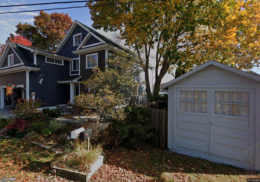
82 Spellman Point Rd East Hampton, CT 06424
Estimated Value: $863,000 - $1,150,522
3
Beds
4
Baths
2,787
Sq Ft
$362/Sq Ft
Est. Value
About This Home
This home is located at 82 Spellman Point Rd, East Hampton, CT 06424 and is currently estimated at $1,008,381, approximately $361 per square foot. 82 Spellman Point Rd is a home located in Middlesex County with nearby schools including Memorial School, Center Elementary School, and East Hampton Middle School.
Ownership History
Date
Name
Owned For
Owner Type
Purchase Details
Closed on
Apr 25, 2023
Sold by
Mildred P Bengtson T P and Mildred Bengtson
Bought by
Bengtson David A and Bengtson Elizabeth L
Current Estimated Value
Purchase Details
Closed on
Sep 29, 2017
Sold by
Bengston Astrid C Est and Bengtson
Bought by
Fleming Benjamin T and Fleming Denise M
Create a Home Valuation Report for This Property
The Home Valuation Report is an in-depth analysis detailing your home's value as well as a comparison with similar homes in the area
Home Values in the Area
Average Home Value in this Area
Purchase History
| Date | Buyer | Sale Price | Title Company |
|---|---|---|---|
| Bengtson David A | -- | None Available | |
| Bengtson David A | -- | None Available | |
| Fleming Benjamin T | -- | -- | |
| Fleming Benjamin T | -- | -- |
Source: Public Records
Tax History Compared to Growth
Tax History
| Year | Tax Paid | Tax Assessment Tax Assessment Total Assessment is a certain percentage of the fair market value that is determined by local assessors to be the total taxable value of land and additions on the property. | Land | Improvement |
|---|---|---|---|---|
| 2025 | $18,828 | $474,140 | $281,920 | $192,220 |
| 2024 | $18,036 | $474,140 | $281,920 | $192,220 |
| 2023 | $17,097 | $474,140 | $281,920 | $192,220 |
| 2022 | $9,829 | $283,590 | $281,920 | $1,670 |
| 2021 | $9,792 | $283,590 | $281,920 | $1,670 |
| 2020 | $11,941 | $360,310 | $272,830 | $87,480 |
| 2019 | $11,150 | $336,460 | $250,090 | $86,370 |
| 2018 | $10,538 | $336,460 | $250,090 | $86,370 |
| 2017 | $10,538 | $336,460 | $250,090 | $86,370 |
| 2016 | $9,905 | $336,460 | $250,090 | $86,370 |
| 2015 | $8,594 | $309,370 | $213,980 | $95,390 |
| 2014 | $7,477 | $309,370 | $213,980 | $95,390 |
Source: Public Records
Map
Nearby Homes
- 84 Spellman Point Rd
- 78 Spellman Point Rd
- 86 Spellman Point Rd
- 81 Spellman Point Rd
- 76 Spellman Point Rd
- 83 Spellman Point Rd
- 77 Spellman Point Rd
- 85 Spellman Point Rd
- 75 Spellman Point Rd
- 74 Spellman Point Rd
- 87 Spellman Point Rd
- 73 Spellman Point Rd
- 90 Spellman Point Rd
- 70 Spellman Point Rd
- 69 Spellman Point Rd
- 67 Spellman Point Rd
- 33 Spellman Point Rd
- 65 Spellman Point Rd
- 68 Spellman Point Rd
- 63 Spellman Point Rd