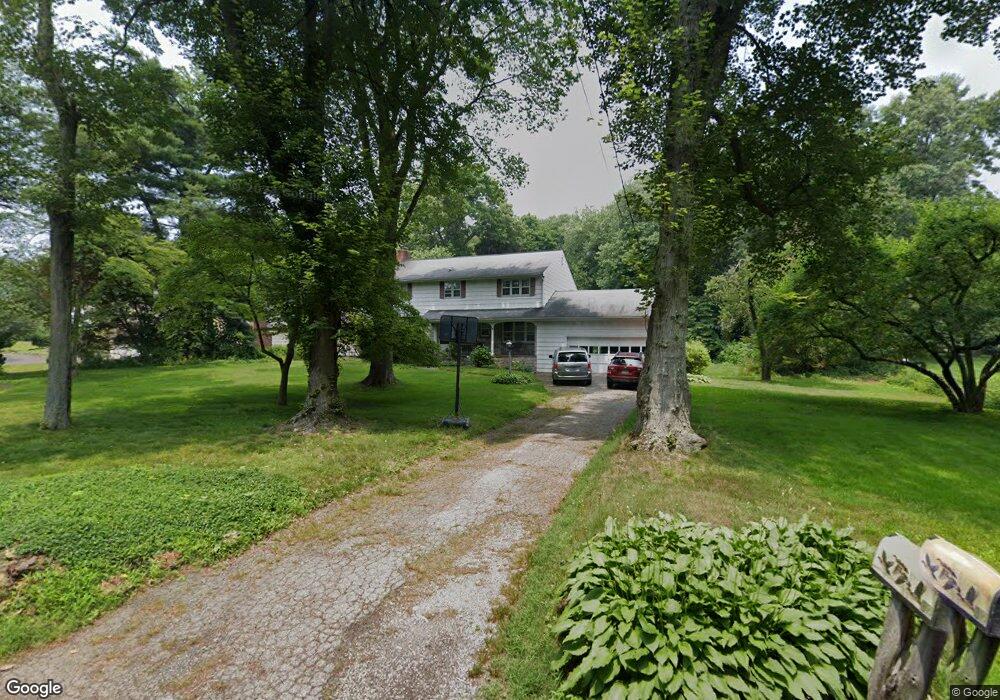
82 Stanton Rd Darien, CT 06820
Estimated Value: $2,084,000 - $2,639,000
4
Beds
3
Baths
3,003
Sq Ft
$796/Sq Ft
Est. Value
About This Home
This home is located at 82 Stanton Rd, Darien, CT 06820 and is currently estimated at $2,389,599, approximately $795 per square foot. 82 Stanton Rd is a home located in Fairfield County with nearby schools including Hindley Elementary School, Middlesex Middle School, and Darien High School.
Ownership History
Date
Name
Owned For
Owner Type
Purchase Details
Closed on
Apr 21, 1995
Sold by
Slane Robert and Slane Sandra
Bought by
Black Donald and Black Jean
Current Estimated Value
Home Financials for this Owner
Home Financials are based on the most recent Mortgage that was taken out on this home.
Original Mortgage
$360,000
Interest Rate
8.55%
Mortgage Type
Unknown
Create a Home Valuation Report for This Property
The Home Valuation Report is an in-depth analysis detailing your home's value as well as a comparison with similar homes in the area
Home Values in the Area
Average Home Value in this Area
Purchase History
| Date | Buyer | Sale Price | Title Company |
|---|---|---|---|
| Black Donald | $665,000 | -- |
Source: Public Records
Mortgage History
| Date | Status | Borrower | Loan Amount |
|---|---|---|---|
| Closed | Black Donald | $300,700 | |
| Closed | Black Donald | $355,000 | |
| Closed | Black Donald | $360,000 | |
| Closed | Black Donald | $360,000 |
Source: Public Records
Tax History
| Year | Tax Paid | Tax Assessment Tax Assessment Total Assessment is a certain percentage of the fair market value that is determined by local assessors to be the total taxable value of land and additions on the property. | Land | Improvement |
|---|---|---|---|---|
| 2025 | $17,669 | $1,141,420 | $866,740 | $274,680 |
| 2024 | $16,767 | $1,141,420 | $866,740 | $274,680 |
| 2023 | $15,606 | $886,200 | $619,080 | $267,120 |
| 2022 | $15,269 | $886,200 | $619,080 | $267,120 |
| 2021 | $6,368 | $886,200 | $619,080 | $267,120 |
| 2020 | $0 | $886,200 | $619,080 | $267,120 |
| 2019 | $5,972 | $886,200 | $619,080 | $267,120 |
| 2018 | $6,151 | $1,025,290 | $694,960 | $330,330 |
| 2017 | $5,916 | $1,025,290 | $694,960 | $330,330 |
| 2016 | $16,169 | $1,025,290 | $694,960 | $330,330 |
| 2015 | $15,738 | $1,025,290 | $694,960 | $330,330 |
| 2014 | $15,390 | $1,025,290 | $694,960 | $330,330 |
Source: Public Records
Map
Nearby Homes
- 29 Walmsley Rd
- 66 Stanton Rd
- 12 Walmsley Rd
- 25 Hillside Ave
- 77 Maple St
- 3 Salt Box Ln E
- 11 Patton Dr
- 19 Thomasina Ln
- 32 Relihan Rd
- 166 Hollow Tree Ridge Rd
- 167 Hollow Tree Ridge Rd
- 15 Charles St
- 24 King St
- 29 Waterbury Ave
- 20 Outlook Dr
- 73 Courtland Ave Unit 163 ( 8)
- 135 Courtland Ave Unit 13
- 23 Beach Dr
- 151 Courtland Ave Unit 6
- 59 Courtland Ave Unit 2T
Your Personal Tour Guide
Ask me questions while you tour the home.