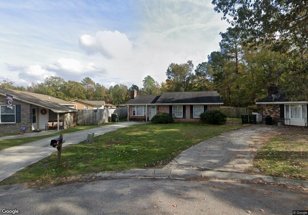
82 Tanbark Ct Goose Creek, SC 29445
Estimated Value: $223,000 - $239,000
3
Beds
2
Baths
1,103
Sq Ft
$209/Sq Ft
Est. Value
About This Home
This home is located at 82 Tanbark Ct, Goose Creek, SC 29445 and is currently estimated at $230,849, approximately $209 per square foot. 82 Tanbark Ct is a home located in Berkeley County with nearby schools including Boulder Bluff Elementary School, Sedgefield Middle School, and Goose Creek High School.
Ownership History
Date
Name
Owned For
Owner Type
Purchase Details
Closed on
Dec 7, 2005
Sold by
Bing Phillip M
Bought by
Isola David G and Freeman Alice M
Current Estimated Value
Home Financials for this Owner
Home Financials are based on the most recent Mortgage that was taken out on this home.
Original Mortgage
$74,320
Outstanding Balance
$41,434
Interest Rate
6.23%
Mortgage Type
Future Advance Clause Open End Mortgage
Estimated Equity
$189,415
Purchase Details
Closed on
Sep 30, 2003
Sold by
Bays Melinda E and Pomatto Allan
Bought by
Bing Phillip M
Create a Home Valuation Report for This Property
The Home Valuation Report is an in-depth analysis detailing your home's value as well as a comparison with similar homes in the area
Home Values in the Area
Average Home Value in this Area
Purchase History
| Date | Buyer | Sale Price | Title Company |
|---|---|---|---|
| Isola David G | $92,900 | None Available | |
| Bing Phillip M | $66,000 | -- |
Source: Public Records
Mortgage History
| Date | Status | Borrower | Loan Amount |
|---|---|---|---|
| Open | Isola David G | $74,320 |
Source: Public Records
Tax History Compared to Growth
Tax History
| Year | Tax Paid | Tax Assessment Tax Assessment Total Assessment is a certain percentage of the fair market value that is determined by local assessors to be the total taxable value of land and additions on the property. | Land | Improvement |
|---|---|---|---|---|
| 2025 | $1,159 | $66,257 | $16,117 | $50,140 |
| 2024 | $1,159 | $3,975 | $967 | $3,008 |
| 2023 | $1,159 | $3,975 | $967 | $3,008 |
| 2022 | $1,111 | $3,457 | $704 | $2,753 |
| 2021 | $1,118 | $3,450 | $704 | $2,753 |
| 2020 | $1,122 | $3,457 | $704 | $2,753 |
| 2019 | $1,120 | $3,457 | $704 | $2,753 |
| 2018 | $1,048 | $3,006 | $1,200 | $1,806 |
| 2017 | $1,048 | $3,006 | $1,200 | $1,806 |
| 2016 | $1,057 | $3,010 | $1,200 | $1,810 |
| 2015 | $1,014 | $3,010 | $1,200 | $1,810 |
| 2014 | $956 | $3,010 | $1,200 | $1,810 |
| 2013 | -- | $3,010 | $1,200 | $1,810 |
Source: Public Records
Map
Nearby Homes
- 416 Duskywing Dr
- 414 Duskywing Dr
- 418 Duskywing Dr
- 420 Duskywing Dr
- 422 Duskywing Dr
- 424 Duskywing Dr
- 428 Duskywing Dr
- 430 Duskywing Dr
- 432 Duskywing Dr
- 434 Duskywing Dr
- 436 Duskywing Dr
- 438 Duskywing Dr
- 442 Duskywing Dr
- 444 Duskywing Dr
- 446 Duskywing Dr
- 448 Duskywing Dr
- Bristol Plan at The Landings at Montague
- Franklin Plan at The Landings at Montague
- Chatham Plan at The Landings at Montague
- 450 Duskywing Dr
- 84 Tanbark Ct
- 111 Briarwood Cir
- 80 Tanbark Ct
- 85 Tanbark Ct
- 109 Briarwood Cir
- 113 Briarwood Cir
- 78 Tanbark Ct
- 107 Briarwood Cir
- 115 Briarwood Cir
- 83 Tanbark Ct
- 76 Tanbark Ct
- 81 Tanbark Ct
- 105 Briarwood Cir
- 79 Tanbark Ct
- 77 Tanbark Ct
- 74 Tanbark Ct
- 114 Briarwood Cir
- 103 Briarwood Cir
- 75 Tanbark Ct
- 52 Elmwood Place