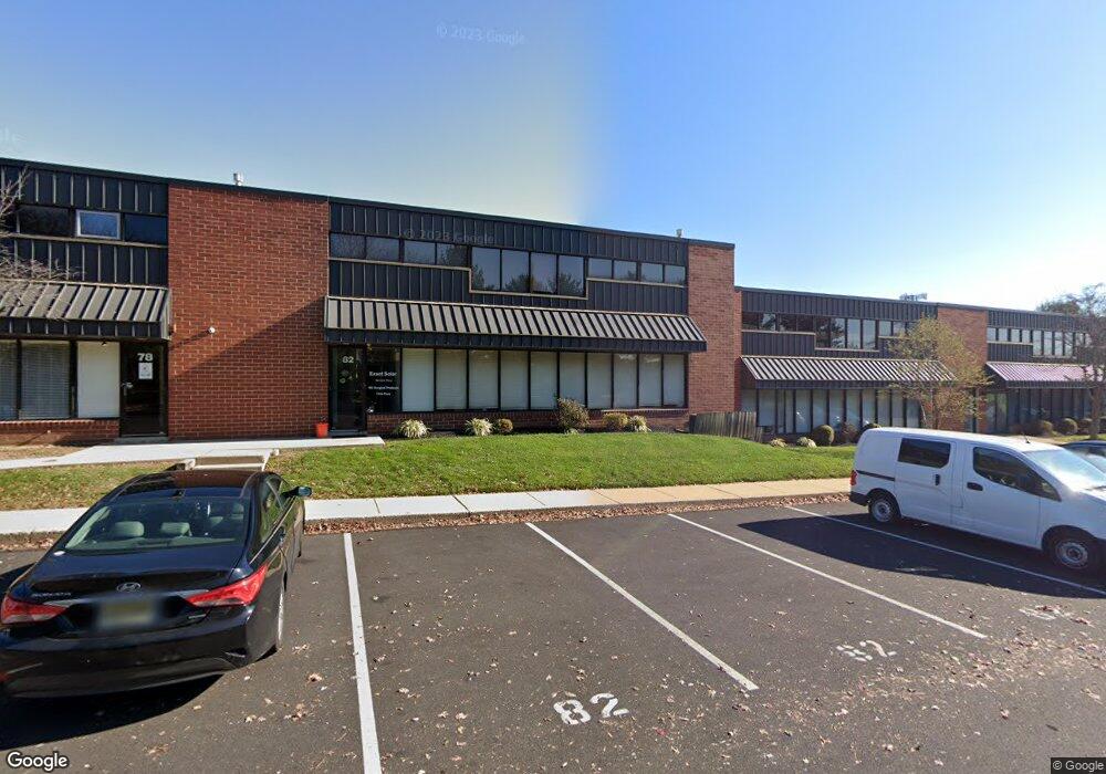
82 Walker Ln New Town, PA 18940
Estimated Value: $998,574
--
Bed
--
Bath
5,000
Sq Ft
$200/Sq Ft
Est. Value
About This Home
This home is located at 82 Walker Ln, New Town, PA 18940 and is currently estimated at $998,574, approximately $199 per square foot. 82 Walker Ln is a home located in Bucks County with nearby schools including Goodnoe Elementary School, Newtown Middle School, and Council Rock High School North.
Ownership History
Date
Name
Owned For
Owner Type
Purchase Details
Closed on
Mar 25, 2015
Sold by
Mulrine Beverly
Bought by
Eab Properties Llc
Current Estimated Value
Home Financials for this Owner
Home Financials are based on the most recent Mortgage that was taken out on this home.
Original Mortgage
$412,500
Outstanding Balance
$283,524
Interest Rate
3.68%
Mortgage Type
Future Advance Clause Open End Mortgage
Estimated Equity
$715,050
Purchase Details
Closed on
Mar 22, 1993
Sold by
Bucks Co Bk & Tr Co
Bought by
Mulrine James and Mulrine Beverly
Purchase Details
Closed on
Sep 4, 1991
Bought by
Bucks Co Bk & Tr Co,
Create a Home Valuation Report for This Property
The Home Valuation Report is an in-depth analysis detailing your home's value as well as a comparison with similar homes in the area
Home Values in the Area
Average Home Value in this Area
Purchase History
| Date | Buyer | Sale Price | Title Company |
|---|---|---|---|
| Eab Properties Llc | $550,000 | None Available | |
| Mulrine James | $210,000 | -- | |
| Bucks Co Bk & Tr Co, | $3,100 | -- |
Source: Public Records
Mortgage History
| Date | Status | Borrower | Loan Amount |
|---|---|---|---|
| Open | Eab Properties Llc | $412,500 |
Source: Public Records
Tax History Compared to Growth
Tax History
| Year | Tax Paid | Tax Assessment Tax Assessment Total Assessment is a certain percentage of the fair market value that is determined by local assessors to be the total taxable value of land and additions on the property. | Land | Improvement |
|---|---|---|---|---|
| 2025 | $8,268 | $46,520 | -- | $46,520 |
| 2024 | $8,268 | $46,520 | $0 | $46,520 |
| 2023 | $7,910 | $46,520 | $0 | $46,520 |
| 2022 | $7,757 | $46,520 | $0 | $46,520 |
| 2021 | $7,637 | $46,520 | $0 | $46,520 |
| 2020 | $7,269 | $46,520 | $0 | $46,520 |
| 2019 | $7,097 | $46,520 | $0 | $46,520 |
| 2018 | $6,962 | $46,520 | $0 | $46,520 |
| 2017 | $6,721 | $46,520 | $0 | $46,520 |
| 2016 | $6,674 | $46,520 | $0 | $46,520 |
| 2015 | -- | $46,520 | $0 | $46,520 |
| 2014 | -- | $46,520 | $0 | $46,520 |
Source: Public Records
Map
Nearby Homes
- 8 Bennington Place
- 25 Wellington Rd
- 3 Farmington Place
- 2 Farmington Place
- 0 Route 413 Bypass Unit PABU2010042
- 12 Farmington Place
- 206 Paxon Alley Unit 51
- 513 Atwood Ct
- 215 Rumford Ct
- 21 Violet Ln Unit 161A
- 144 Yeates Alley
- 48 Walton Ct
- 128 Thornhill Ln
- 44 Aster Way
- 510 Pin Oak Dr
- 277 Willow Dr
- 200 Fountain Farm Ln Unit 200
- 52 Yorkshire Dr
- 5 Bolton Cir
- 532 Penn St
- 82 Walker Ln Unit 8
- 78 Walker Ln Unit 7
- 74 Walker Ln
- 70 Walker Ln Unit 5
- 98 Walker Ln
- 66 Walker Ln Unit 4
- 62 Walker Ln Unit 3
- 135 Walker Ln
- 54 Friends Ln Unit 114-7
- 54 Friends Ln Unit 114-5
- 54 Friends Ln Unit 112
- 54 Friends Ln Unit 116
- 54 Friends Ln Unit 114
- 54 Friends Ln Unit 121
- 54 Friends Ln Unit 114-2
- 54 Friends Ln Unit 114-1
- 54 Friends Ln Unit 114-3
- 54 Friends Ln Unit 114-4
- 54 Friends Ln Unit 125
- 54 Friends Ln Unit 114-6