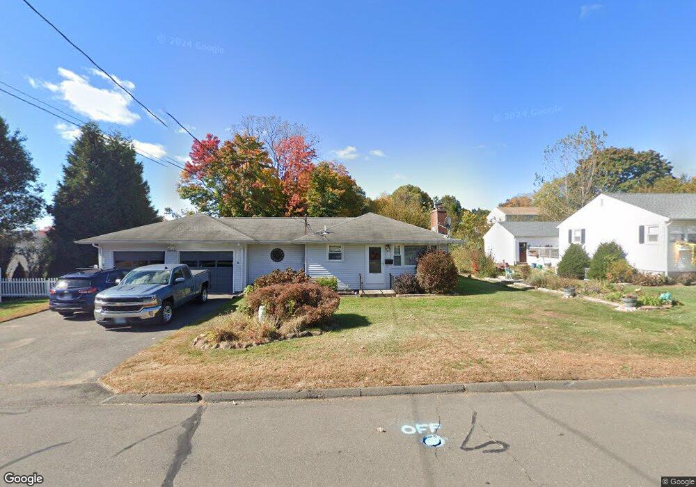
82 Walnut St Southington, CT 06489
West Southington NeighborhoodEstimated Value: $419,000 - $501,000
3
Beds
2
Baths
1,778
Sq Ft
$249/Sq Ft
Est. Value
About This Home
This home is located at 82 Walnut St, Southington, CT 06489 and is currently estimated at $441,983, approximately $248 per square foot. 82 Walnut St is a home located in Hartford County with nearby schools including John F. Kennedy Middle School, Southington High School, and Southington Catholic School.
Ownership History
Date
Name
Owned For
Owner Type
Purchase Details
Closed on
Oct 11, 2002
Sold by
Clark Anita
Bought by
Clark Leon and Clark Stephanie
Current Estimated Value
Purchase Details
Closed on
Jul 31, 1990
Sold by
Manning Francis
Bought by
Clark Dexter
Create a Home Valuation Report for This Property
The Home Valuation Report is an in-depth analysis detailing your home's value as well as a comparison with similar homes in the area
Home Values in the Area
Average Home Value in this Area
Purchase History
| Date | Buyer | Sale Price | Title Company |
|---|---|---|---|
| Clark Leon | $134,200 | -- | |
| Clark Dexter | $155,000 | -- |
Source: Public Records
Mortgage History
| Date | Status | Borrower | Loan Amount |
|---|---|---|---|
| Open | Clark Dexter | $170,500 | |
| Closed | Clark Dexter | $75,100 | |
| Closed | Clark Dexter | $92,600 |
Source: Public Records
Tax History
| Year | Tax Paid | Tax Assessment Tax Assessment Total Assessment is a certain percentage of the fair market value that is determined by local assessors to be the total taxable value of land and additions on the property. | Land | Improvement |
|---|---|---|---|---|
| 2025 | $5,779 | $174,020 | $50,750 | $123,270 |
| 2024 | $5,471 | $174,020 | $50,750 | $123,270 |
| 2023 | $5,283 | $174,020 | $50,750 | $123,270 |
| 2022 | $5,069 | $174,020 | $50,750 | $123,270 |
| 2021 | $5,052 | $174,020 | $50,750 | $123,270 |
| 2020 | $5,049 | $164,840 | $51,790 | $113,050 |
| 2019 | $5,051 | $164,840 | $51,790 | $113,050 |
| 2018 | $5,024 | $164,840 | $51,790 | $113,050 |
| 2017 | $5,024 | $164,840 | $51,790 | $113,050 |
| 2016 | $4,886 | $164,840 | $51,790 | $113,050 |
| 2015 | $4,949 | $169,850 | $49,320 | $120,530 |
| 2014 | $4,817 | $169,850 | $49,320 | $120,530 |
Source: Public Records
Map
Nearby Homes
- 317 West St
- 82 Summer St Unit A
- 82 Summer St Unit B
- 46 John St
- 20 John St
- 28 Beecher St
- 40 Cornerstone Ct Unit 23
- 491 Main St
- 700 Main St
- 9 Preli Ct
- 82 Grove St
- 141 Old Turnpike Rd
- 53 Alder Ln
- 40 November Ln
- 151 Diana Rd
- 962 S Main St Unit 17
- 88 October Ln
- 349 Marion Ave Unit 18
- 349 Marion Ave Unit 12
- 349 Marion Ave Unit 25
- 76 Walnut St
- 122 Walnut St
- 98 Walnut St
- 130 Walnut St
- 18 Mount Carmel St
- 68 Walnut St
- 26 Mt Carmel St
- 28 Mount Carmel St
- 138 Walnut St
- 6 Wolcott St
- 73 Walnut St
- 34 Mount Carmel St
- 137 Walnut St
- 146 Walnut St
- 16 Wolcott St
- 67 Walnut St
- 26 Mt Carmel St
- 42 Mount Carmel St
- 55 Ford St
- 135 Walnut St Unit 137
Your Personal Tour Guide
Ask me questions while you tour the home.