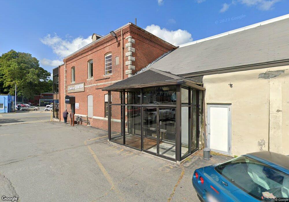
82 Weir St Taunton, MA 02780
City Center NeighborhoodEstimated Value: $959,914
--
Bed
2
Baths
7,080
Sq Ft
$136/Sq Ft
Est. Value
About This Home
This home is located at 82 Weir St, Taunton, MA 02780 and is currently estimated at $959,914, approximately $135 per square foot. 82 Weir St is a home located in Bristol County with nearby schools including Elizabeth Pole School, Taunton High School, and John F. Parker Middle School.
Ownership History
Date
Name
Owned For
Owner Type
Purchase Details
Closed on
Dec 1, 1994
Sold by
M&S Rt and Strojny Edward J
Bought by
82 Weir St Rt and Barney Carlton E
Current Estimated Value
Home Financials for this Owner
Home Financials are based on the most recent Mortgage that was taken out on this home.
Original Mortgage
$225,000
Interest Rate
8.81%
Mortgage Type
Commercial
Create a Home Valuation Report for This Property
The Home Valuation Report is an in-depth analysis detailing your home's value as well as a comparison with similar homes in the area
Home Values in the Area
Average Home Value in this Area
Purchase History
| Date | Buyer | Sale Price | Title Company |
|---|---|---|---|
| 82 Weir St Rt | $235,000 | -- | |
| 82 Weir St Rt | $235,000 | -- |
Source: Public Records
Mortgage History
| Date | Status | Borrower | Loan Amount |
|---|---|---|---|
| Closed | 82 Weir St Rt | $225,000 | |
| Closed | 82 Weir St Rt | $135,000 |
Source: Public Records
Tax History Compared to Growth
Tax History
| Year | Tax Paid | Tax Assessment Tax Assessment Total Assessment is a certain percentage of the fair market value that is determined by local assessors to be the total taxable value of land and additions on the property. | Land | Improvement |
|---|---|---|---|---|
| 2025 | $13,069 | $549,600 | $146,900 | $402,700 |
| 2024 | $21,057 | $858,400 | $146,900 | $711,500 |
| 2023 | $12,161 | $462,400 | $182,600 | $279,800 |
| 2022 | $14,120 | $489,100 | $173,100 | $316,000 |
| 2021 | $14,169 | $489,100 | $173,100 | $316,000 |
| 2020 | $12,048 | $390,900 | $138,500 | $252,400 |
| 2019 | $12,542 | $366,300 | $136,300 | $230,000 |
| 2018 | $12,267 | $356,300 | $131,900 | $224,400 |
| 2017 | $12,253 | $353,100 | $130,600 | $222,500 |
| 2016 | $11,984 | $353,100 | $130,600 | $222,500 |
| 2015 | $11,923 | $358,600 | $136,100 | $222,500 |
| 2014 | $11,185 | $358,600 | $136,100 | $222,500 |
Source: Public Records
Map
Nearby Homes
- 0, M64 L51 Knapp St
- 0 M64 L39 Knapp St
- 0, M64 L49 Knapp St
- 0, M64 L50 Knapp St
- 48 Taunton Green
- 46 Harrison St Unit 4
- 31 Church Green Unit 303
- 215 High St Unit 21
- 215 High St Unit 20
- 12 Chestnut St Unit A
- 5 Dean Ave
- 16 Clinton St
- 19 Mason St
- 6 W Summer St
- 278 Cohannet St
- 98 Winthrop St
- 72 Barnum St
- 48 Oak St
- 39 Myrtle St
- 54 Adams St