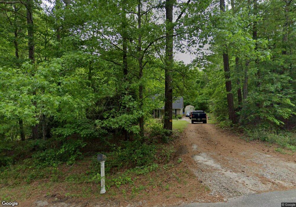
82 Westwood Dr Griffin, GA 30223
Spalding County NeighborhoodEstimated Value: $214,000 - $268,000
3
Beds
2
Baths
1,596
Sq Ft
$155/Sq Ft
Est. Value
About This Home
This home is located at 82 Westwood Dr, Griffin, GA 30223 and is currently estimated at $247,998, approximately $155 per square foot. 82 Westwood Dr is a home located in Spalding County with nearby schools including Orrs Elementary School, Carver Road Middle School, and Griffin High School.
Ownership History
Date
Name
Owned For
Owner Type
Purchase Details
Closed on
Oct 28, 2009
Sold by
Blount Vonda K
Bought by
Shiflett Alan W
Current Estimated Value
Home Financials for this Owner
Home Financials are based on the most recent Mortgage that was taken out on this home.
Original Mortgage
$96,224
Outstanding Balance
$62,959
Interest Rate
5.04%
Mortgage Type
FHA
Estimated Equity
$185,039
Purchase Details
Closed on
May 13, 2008
Sold by
Cwabs Inc Series 2006-21
Bought by
Blount Vonda K
Purchase Details
Closed on
Feb 5, 2008
Sold by
Liven Elaine V
Bought by
Cwabs Inc Series 2006-21
Purchase Details
Closed on
Oct 16, 2006
Sold by
Chuck Pruitt Bldrs Inc
Bought by
Liven Elaine
Home Financials for this Owner
Home Financials are based on the most recent Mortgage that was taken out on this home.
Original Mortgage
$121,600
Interest Rate
9.3%
Mortgage Type
New Conventional
Create a Home Valuation Report for This Property
The Home Valuation Report is an in-depth analysis detailing your home's value as well as a comparison with similar homes in the area
Home Values in the Area
Average Home Value in this Area
Purchase History
| Date | Buyer | Sale Price | Title Company |
|---|---|---|---|
| Shiflett Alan W | $98,000 | -- | |
| Blount Vonda K | $88,200 | -- | |
| Cwabs Inc Series 2006-21 | $90,900 | -- | |
| Liven Elaine | $128,000 | -- |
Source: Public Records
Mortgage History
| Date | Status | Borrower | Loan Amount |
|---|---|---|---|
| Open | Shiflett Alan W | $96,224 | |
| Previous Owner | Liven Elaine | $121,600 |
Source: Public Records
Tax History Compared to Growth
Tax History
| Year | Tax Paid | Tax Assessment Tax Assessment Total Assessment is a certain percentage of the fair market value that is determined by local assessors to be the total taxable value of land and additions on the property. | Land | Improvement |
|---|---|---|---|---|
| 2024 | $2,392 | $68,660 | $6,000 | $62,660 |
| 2023 | $2,392 | $68,660 | $6,000 | $62,660 |
| 2022 | $1,926 | $54,783 | $4,800 | $49,983 |
| 2021 | $1,593 | $45,618 | $4,800 | $40,818 |
| 2020 | $1,599 | $45,618 | $4,800 | $40,818 |
| 2019 | $1,462 | $41,082 | $4,800 | $36,282 |
| 2018 | $1,357 | $37,321 | $4,800 | $32,521 |
| 2017 | $1,320 | $37,321 | $4,800 | $32,521 |
| 2016 | $1,344 | $37,321 | $4,800 | $32,521 |
| 2015 | $1,385 | $37,321 | $4,800 | $32,521 |
| 2014 | $1,484 | $37,321 | $4,800 | $32,521 |
Source: Public Records
Map
Nearby Homes
- 230 Vaughn Rd
- 135 Vaughn Rd
- 2317 W Ellis Rd
- 118 Jacqueline Dr
- 3861 Newnan Rd
- 103 Jacqueline Dr
- 3 ACRES Anderson Rd
- 3890 Newnan Rd
- 0 Newnan Rd Unit 10550410
- 184 Quail Rd
- 68 Creekwood Dr
- 5092 W Mcintosh Rd
- 200 Ac W Ellis Rd
- 90 & 212 Kendall Dr
- 4101 W Ellis Rd
- 127 Canaan Ct
- 4249 W Ellis Rd
- 502 N Rover Rd
- 5555 W Mcintosh Rd
- 146 Rivers Rd
- 86 Westwood Dr
- 0 Westwood Dr Unit 3238857
- 0 Westwood Dr
- 83 Westwood Dr
- 73 Westwood Dr
- 89 Westwood Dr
- 102 Westwood Dr
- 105 Westwood Dr
- 110 Westwood Dr
- 11 Westwood Cir
- 113 Westwood Dr
- 23 Westwood Cir
- 0 Westwood Cir Unit 8637180
- 0 Westwood Cir Unit 7632677
- 0 Westwood Cir Unit 3003013
- 18 Westwood Cir Unit 19
- 18 Westwood Cir
- 16 Westwood Cir
- 49 Westwood Dr
- 12 Westwood Ct
