82 Whites Cove Ln Georgetown, ME 04548
Georgetown NeighborhoodEstimated Value: $484,000 - $809,588
--
Bed
--
Bath
--
Sq Ft
3
Acres
About This Home
This home is located at 82 Whites Cove Ln, Georgetown, ME 04548 and is currently estimated at $638,647. 82 Whites Cove Ln is a home.
Ownership History
Date
Name
Owned For
Owner Type
Purchase Details
Closed on
Dec 8, 2022
Sold by
Moore Bradford L and Moore Heidi A
Bought by
Moore Jeffrey W and Moore Emily G
Current Estimated Value
Home Financials for this Owner
Home Financials are based on the most recent Mortgage that was taken out on this home.
Original Mortgage
$180,000
Outstanding Balance
$162,485
Interest Rate
3.75%
Mortgage Type
Adjustable Rate Mortgage/ARM
Estimated Equity
$476,162
Create a Home Valuation Report for This Property
The Home Valuation Report is an in-depth analysis detailing your home's value as well as a comparison with similar homes in the area
Home Values in the Area
Average Home Value in this Area
Purchase History
| Date | Buyer | Sale Price | Title Company |
|---|---|---|---|
| Moore Jeffrey W | -- | None Available | |
| Moore Jeffrey W | -- | None Available |
Source: Public Records
Mortgage History
| Date | Status | Borrower | Loan Amount |
|---|---|---|---|
| Open | Moore Jeffrey W | $180,000 |
Source: Public Records
Tax History Compared to Growth
Tax History
| Year | Tax Paid | Tax Assessment Tax Assessment Total Assessment is a certain percentage of the fair market value that is determined by local assessors to be the total taxable value of land and additions on the property. | Land | Improvement |
|---|---|---|---|---|
| 2024 | $3,645 | $605,400 | $323,800 | $281,600 |
| 2023 | $2,338 | $239,800 | $163,500 | $76,300 |
| 2022 | $1,943 | $219,800 | $143,500 | $76,300 |
| 2021 | $1,813 | $219,800 | $143,500 | $76,300 |
| 2020 | $1,780 | $219,800 | $143,500 | $76,300 |
| 2019 | $1,714 | $219,800 | $143,500 | $76,300 |
| 2018 | $1,692 | $219,800 | $143,500 | $76,300 |
| 2017 | $1,681 | $219,800 | $143,500 | $76,300 |
| 2016 | $1,681 | $219,800 | $143,500 | $76,300 |
| 2015 | $1,622 | $219,800 | $143,500 | $76,300 |
| 2014 | $1,622 | $219,800 | $143,500 | $76,300 |
| 2013 | $1,561 | $219,800 | $143,500 | $76,300 |
Source: Public Records
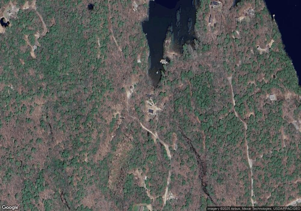
Map
Nearby Homes
- 68 Narrows Way
- 25 N End Rd
- 1 Plum Ln Unit D
- 15 Blueberry Hill Rd
- Lot 45-B Cove Rd
- 12 Spruce Gum Ln
- Lot 17A Snowman Ln
- 119 Knubble Bay Rd
- 124 Main Rd
- 461 Hendricks Hill Rd
- 129 Five Islands Rd
- 14 Pinkie Ln
- 11 Youngs Rd
- 742 Old Stage Rd
- 44-4 Windrush Ln
- Lot 3 Osprey Landing Dr
- Lot 2 Osprey Landing Dr
- 3 Cedar Ln Unit 3
- 17 Cedar Ln Unit 17
- 1 Cedar Ln Unit 1
- 17 Whites Cove Ln
- 99 Little Sheepscot Rd
- 85 Whites Cove Ln
- 118 Little Sheepscot Rd
- lot 18 White Cove Rd
- 116 Little Sheepscot Rd
- 114 Little Sheepscot Rd
- 24 Whites Cove Ln
- 34 Hidden Cove Rd
- 13 Hagan Cove Rd
- 47 Narrows Way
- 72 Narrows Way
- 67 Narrows Way
- 21 Hagan Cove Rd
- 32 Moore's Turnpike
- 23 Hidden Cove Rd
- 33 Narrows Way
- 23 Hagan Cove Rd
- 32 Moores Turnpike
- 4 White Cove Ln