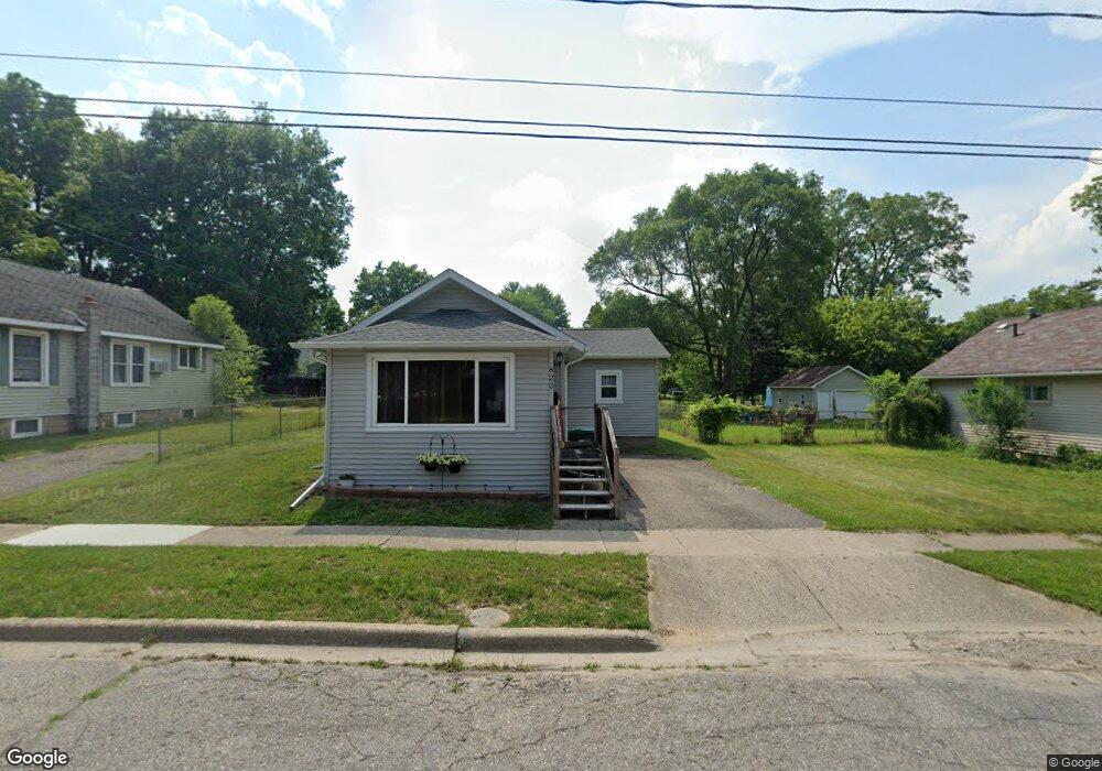
820 Alger Ave Owosso, MI 48867
Estimated Value: $92,000 - $123,648
2
Beds
1
Bath
936
Sq Ft
$119/Sq Ft
Est. Value
About This Home
This home is located at 820 Alger Ave, Owosso, MI 48867 and is currently estimated at $111,162, approximately $118 per square foot. 820 Alger Ave is a home located in Shiawassee County with nearby schools including Owosso High School, Salem Lutheran School, and St. Paul Catholic School.
Ownership History
Date
Name
Owned For
Owner Type
Purchase Details
Closed on
Jul 15, 2014
Sold by
Shepard Roger L and Shepard Rose Ann
Bought by
Shepard Margaret L
Current Estimated Value
Purchase Details
Closed on
Apr 21, 2003
Sold by
Federal National Mortgage Association
Bought by
Rathbun Brian
Home Financials for this Owner
Home Financials are based on the most recent Mortgage that was taken out on this home.
Original Mortgage
$62,753
Interest Rate
6.02%
Mortgage Type
FHA
Create a Home Valuation Report for This Property
The Home Valuation Report is an in-depth analysis detailing your home's value as well as a comparison with similar homes in the area
Home Values in the Area
Average Home Value in this Area
Purchase History
| Date | Buyer | Sale Price | Title Company |
|---|---|---|---|
| Shepard Margaret L | $20,000 | None Available | |
| Rathbun Brian | $63,250 | Chicago Title |
Source: Public Records
Mortgage History
| Date | Status | Borrower | Loan Amount |
|---|---|---|---|
| Previous Owner | Rathbun Brian | $62,753 |
Source: Public Records
Tax History Compared to Growth
Tax History
| Year | Tax Paid | Tax Assessment Tax Assessment Total Assessment is a certain percentage of the fair market value that is determined by local assessors to be the total taxable value of land and additions on the property. | Land | Improvement |
|---|---|---|---|---|
| 2025 | $1,126 | $42,700 | $0 | $0 |
| 2024 | $1,126 | $39,300 | $0 | $0 |
| 2023 | $708 | $35,400 | $0 | $0 |
| 2022 | $1,089 | $31,600 | $0 | $0 |
| 2021 | $1,033 | $30,200 | $0 | $0 |
| 2020 | $1,067 | $27,500 | $0 | $0 |
| 2019 | $1,025 | $22,500 | $0 | $0 |
| 2018 | -- | $21,900 | $0 | $0 |
| 2017 | -- | $21,700 | $0 | $0 |
| 2016 | -- | $21,700 | $0 | $0 |
| 2015 | -- | $20,900 | $0 | $0 |
| 2014 | -- | $20,700 | $0 | $0 |
Source: Public Records
Map
Nearby Homes
- 702 Glenwood Ave
- 755 Woodlawn Ave
- 715 Glenwood Ave
- 827 Lingle Ave
- 809 Grand Ave
- 942 Division St
- 609 Broadway Ave
- 808 Corunna Ave
- 915 Corunna Ave
- 619 Huron St
- 1605 Corunna Ave
- 432 Oakwood Ave
- 611 Beck Ave
- 209 W Stewart St
- Parcel A Aiken Rd
- 1856 Owosso Ave
- 1833 Owosso Ave
- 624 E Comstock St
- 628 Aiken St
- 540 E Comstock St