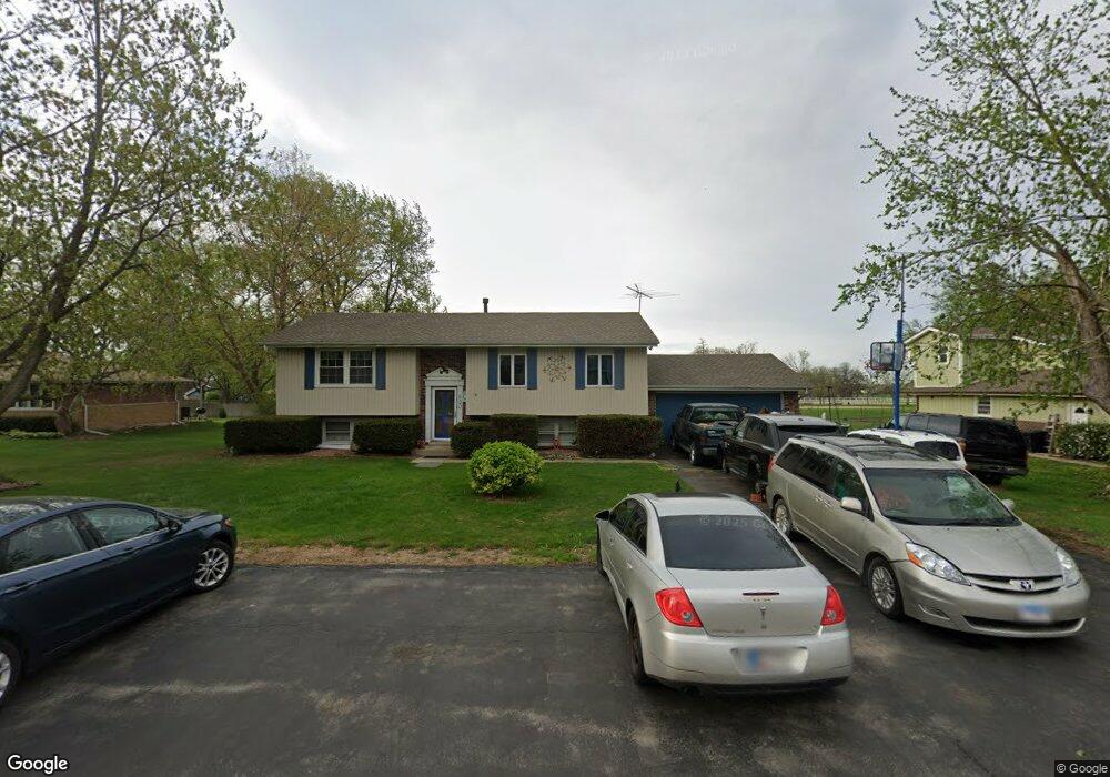
820 Lenox St Unit 2 New Lenox, IL 60451
Estimated Value: $293,211 - $368,000
--
Bed
--
Bath
--
Sq Ft
0.47
Acres
About This Home
This home is located at 820 Lenox St Unit 2, New Lenox, IL 60451 and is currently estimated at $341,553. 820 Lenox St Unit 2 is a home located in Will County with nearby schools including Oster-Oakview School, Haines Elementary School, and Lincoln Way West.
Ownership History
Date
Name
Owned For
Owner Type
Purchase Details
Closed on
Nov 4, 2004
Sold by
Kremm Michael J and Mascaro Theresa V
Bought by
Kremm Michael J and Kremm Theresa V
Current Estimated Value
Purchase Details
Closed on
May 24, 2000
Sold by
Brown John H and Brown Nancy J
Bought by
Kremm Michael J and Mascaro Theresa V
Home Financials for this Owner
Home Financials are based on the most recent Mortgage that was taken out on this home.
Original Mortgage
$137,250
Outstanding Balance
$47,416
Interest Rate
8.14%
Estimated Equity
$294,137
Create a Home Valuation Report for This Property
The Home Valuation Report is an in-depth analysis detailing your home's value as well as a comparison with similar homes in the area
Home Values in the Area
Average Home Value in this Area
Purchase History
| Date | Buyer | Sale Price | Title Company |
|---|---|---|---|
| Kremm Michael J | -- | Multiple | |
| Kremm Michael J | $152,500 | -- |
Source: Public Records
Mortgage History
| Date | Status | Borrower | Loan Amount |
|---|---|---|---|
| Open | Kremm Michael J | $137,250 |
Source: Public Records
Tax History Compared to Growth
Tax History
| Year | Tax Paid | Tax Assessment Tax Assessment Total Assessment is a certain percentage of the fair market value that is determined by local assessors to be the total taxable value of land and additions on the property. | Land | Improvement |
|---|---|---|---|---|
| 2024 | $6,004 | $92,740 | $29,092 | $63,648 |
| 2023 | $6,004 | $84,540 | $26,520 | $58,020 |
| 2022 | $5,579 | $77,881 | $24,431 | $53,450 |
| 2021 | $5,683 | $73,245 | $22,977 | $50,268 |
| 2020 | $5,513 | $70,631 | $22,157 | $48,474 |
| 2019 | $5,268 | $68,441 | $21,470 | $46,971 |
| 2018 | $5,139 | $66,082 | $20,730 | $45,352 |
| 2017 | $4,873 | $64,182 | $20,134 | $44,048 |
| 2016 | $4,725 | $62,464 | $19,595 | $42,869 |
| 2015 | $4,537 | $60,498 | $18,978 | $41,520 |
| 2014 | $4,537 | $59,751 | $18,744 | $41,007 |
| 2013 | $4,537 | $60,557 | $18,997 | $41,560 |
Source: Public Records
Map
Nearby Homes
- 1261 S Regan Rd
- 1920 Edmonds Ave
- 807 Picardy Place
- 208 Redwood Ave
- 200 Redwood Ave
- Lot 108 S Richard Ave
- 13420 Florence Rd
- 1108 Plaza Dr
- Lot 122 S Lynn Pkwy
- 1344 N Cedar Rd
- 224 Hauser Ct
- 13621 W Maple Rd
- 0000 W Regan Rd
- 18909 Ruth Dr
- 217 Aspen Dr
- 133 Barbara Ln
- 12001 W Route 6
- 1125 Georgias Way
- 12932 Carrington Ct
- 821 Chatfield Rd
- 830 Lenox St Unit 2
- 810 Lenox St Unit 2
- 840 Lenox St
- 800 Lenox St Unit 2
- 821 Lenox St
- 831 Lenox St
- 811 Lenox St
- 740 Lenox St
- 1379 S Regan Rd Unit 1
- 841 Lenox St
- 801 Lenox St
- 1375 S Regan Rd
- 1369 S Regan Rd
- 730 Lenox St
- 741 Lenox St
- 851 Lenox St
- 1361 S Regan Rd
- 820 Buckboard Dr
- 810 Buckboard Dr
- 830 Buckboard Dr