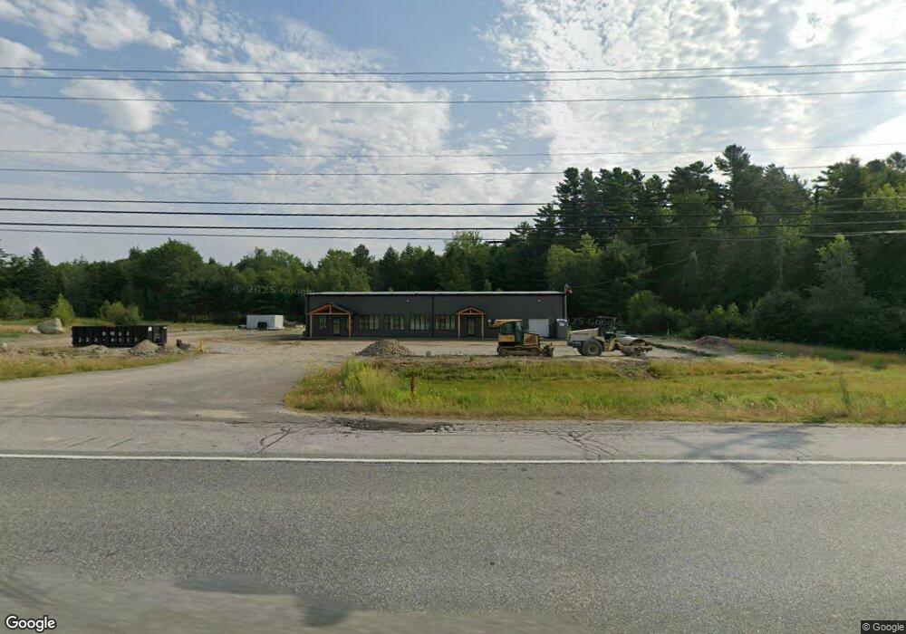
820 Main Rd Holden, ME 04429
Estimated Value: $422,000
--
Bed
--
Bath
--
Sq Ft
18.5
Acres
About This Home
This home is located at 820 Main Rd, Holden, ME 04429 and is currently estimated at $422,000. 820 Main Rd is a home located in Penobscot County.
Ownership History
Date
Name
Owned For
Owner Type
Purchase Details
Closed on
Oct 18, 2024
Sold by
Macmillan Excavation Llc
Bought by
Monnier Real Estate Llc
Current Estimated Value
Home Financials for this Owner
Home Financials are based on the most recent Mortgage that was taken out on this home.
Original Mortgage
$472,000
Outstanding Balance
$467,038
Interest Rate
6.35%
Mortgage Type
Purchase Money Mortgage
Estimated Equity
-$45,038
Create a Home Valuation Report for This Property
The Home Valuation Report is an in-depth analysis detailing your home's value as well as a comparison with similar homes in the area
Home Values in the Area
Average Home Value in this Area
Purchase History
| Date | Buyer | Sale Price | Title Company |
|---|---|---|---|
| Monnier Real Estate Llc | -- | None Available | |
| Monnier Real Estate Llc | -- | None Available |
Source: Public Records
Mortgage History
| Date | Status | Borrower | Loan Amount |
|---|---|---|---|
| Open | Monnier Real Estate Llc | $472,000 | |
| Closed | Monnier Real Estate Llc | $472,000 |
Source: Public Records
Tax History Compared to Growth
Tax History
| Year | Tax Paid | Tax Assessment Tax Assessment Total Assessment is a certain percentage of the fair market value that is determined by local assessors to be the total taxable value of land and additions on the property. | Land | Improvement |
|---|---|---|---|---|
| 2024 | $5,939 | $306,940 | $173,190 | $133,750 |
| 2023 | $5,664 | $308,670 | $173,190 | $135,480 |
| 2022 | $5,510 | $308,670 | $173,190 | $135,480 |
| 2021 | $5,491 | $307,610 | $171,690 | $135,920 |
| 2020 | $5,491 | $307,610 | $171,690 | $135,920 |
| 2019 | $5,120 | $301,160 | $171,690 | $129,470 |
| 2018 | $5,042 | $302,820 | $171,690 | $131,130 |
| 2017 | $4,815 | $302,820 | $171,690 | $131,130 |
| 2016 | $4,765 | $304,480 | $171,690 | $132,790 |
| 2015 | $4,790 | $306,100 | $172,500 | $133,600 |
| 2014 | $4,790 | $306,100 | $172,500 | $133,600 |
| 2013 | $4,775 | $306,100 | $172,500 | $133,600 |
Source: Public Records
Map
Nearby Homes
- 993 Main Rd
- Lot 006-3 Dole Hill Rd
- 37 Lower Dedham Rd
- 0 Tbd Mountain View Dr
- 128 Holbrook Rd
- 15-3 Royal Ridge
- 32 Charles Dr
- 00 Main Rd
- 208 Upper Dedham Rd
- 0 Dragonfly Dr
- 325 Lower Dedham Rd
- 35 Dragonfly Dr
- 19 Hastings Dr
- 271 Clark Hill Rd
- 74 Copeland Hill Rd
- 423 Upper Dedham Rd
- 80 Pine Trail
- TBD Marks Mountain Way
- 155 Copeland Hill Rd
- 154 Copeland Hill Rd