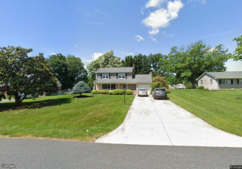
820 Maxa Rd Aberdeen, MD 21001
Estimated Value: $361,765 - $439,000
Studio
2
Baths
2,128
Sq Ft
$191/Sq Ft
Est. Value
About This Home
This home is located at 820 Maxa Rd, Aberdeen, MD 21001 and is currently estimated at $405,441, approximately $190 per square foot. 820 Maxa Rd is a home located in Harford County with nearby schools including Bakerfield Elementary School, Aberdeen Middle School, and Aberdeen High School.
Ownership History
Date
Name
Owned For
Owner Type
Purchase Details
Closed on
Apr 25, 2007
Sold by
Thomas John C
Bought by
Thomas John C and Thomas Diane E
Current Estimated Value
Purchase Details
Closed on
Apr 10, 2007
Sold by
Thomas John C
Bought by
Thomas John C and Thomas Diane E
Purchase Details
Closed on
Oct 14, 1986
Sold by
Slusarski Joseph J and Slusarski Wf
Bought by
Thomas John C
Home Financials for this Owner
Home Financials are based on the most recent Mortgage that was taken out on this home.
Original Mortgage
$60,000
Interest Rate
9.99%
Create a Home Valuation Report for This Property
The Home Valuation Report is an in-depth analysis detailing your home's value as well as a comparison with similar homes in the area
Home Values in the Area
Average Home Value in this Area
Purchase History
| Date | Buyer | Sale Price | Title Company |
|---|---|---|---|
| Thomas John C | -- | -- | |
| Thomas John C | -- | -- | |
| Thomas John C | $97,000 | -- |
Source: Public Records
Mortgage History
| Date | Status | Borrower | Loan Amount |
|---|---|---|---|
| Previous Owner | Thomas John C | $60,000 |
Source: Public Records
Tax History
| Year | Tax Paid | Tax Assessment Tax Assessment Total Assessment is a certain percentage of the fair market value that is determined by local assessors to be the total taxable value of land and additions on the property. | Land | Improvement |
|---|---|---|---|---|
| 2025 | $60 | $301,333 | $0 | $0 |
| 2024 | $631 | $281,567 | $0 | $0 |
| 2023 | $631 | $261,800 | $78,000 | $183,800 |
| 2022 | $2,818 | $258,533 | $0 | $0 |
| 2020 | $2,968 | $252,000 | $78,000 | $174,000 |
| 2019 | $2,937 | $249,300 | $0 | $0 |
| 2018 | $2,880 | $246,600 | $0 | $0 |
| 2017 | $2,849 | $243,900 | $0 | $0 |
| 2016 | -- | $243,900 | $0 | $0 |
| 2015 | $3,109 | $243,900 | $0 | $0 |
| 2014 | $3,109 | $250,500 | $0 | $0 |
Source: Public Records
Map
Nearby Homes
- 3605 Hays Rd
- 3501 Garrett Ct
- 749 Gilbert Rd
- 724 Aldora Dr
- 724 Aldora Dr Unit 111
- 760 Gilbert Rd
- 748 Everist Dr
- 709 Paul Dr
- Gilbert Meadows
- 624 Southgate Rd
- 607 Northgate Rd
- 0 Paradise Rd
- 3637 Dexter Ct Unit 158
- TBD-SOPHIE Dexter Ct
- 3636 Dexter Ct Unit HARPER-142
- 812 Long Dr Unit F
- Gilbert Meadows - Sophie- Homesite #113 With Walk
- HARPER Dexter Ct Unit TBB
- 706 Aldora Dr Unit 102
- 728 Aldora Dr Unit 113
Your Personal Tour Guide
Ask me questions while you tour the home.