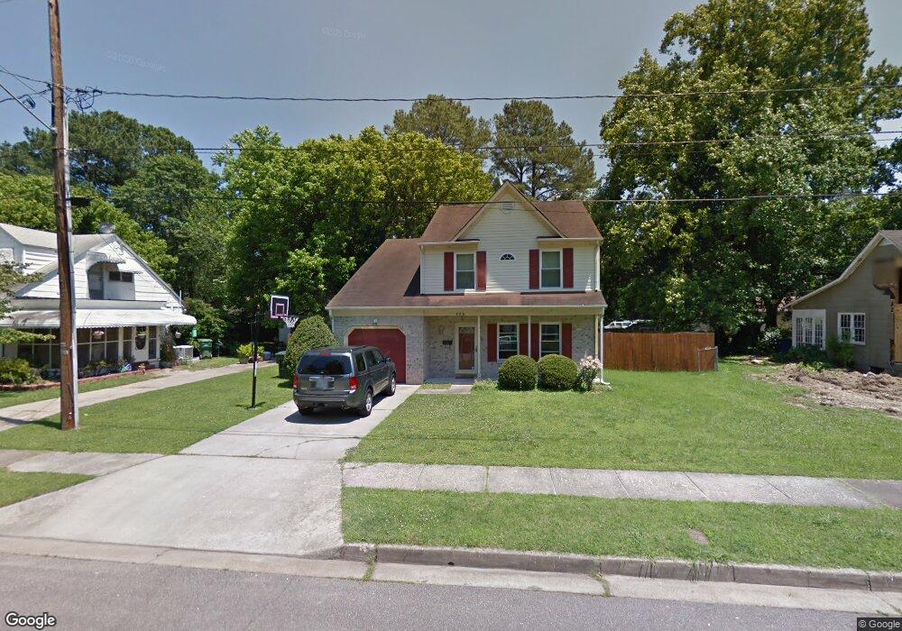
820 Oak Ave Norfolk, VA 23502
Ingleside NeighborhoodEstimated Value: $341,944 - $377,000
4
Beds
3
Baths
1,917
Sq Ft
$186/Sq Ft
Est. Value
About This Home
This home is located at 820 Oak Ave, Norfolk, VA 23502 and is currently estimated at $357,486, approximately $186 per square foot. 820 Oak Ave is a home located in Norfolk City with nearby schools including Ingleside Elementary School, Norview Middle School, and B.T. Washington High School.
Ownership History
Date
Name
Owned For
Owner Type
Purchase Details
Closed on
Mar 24, 2021
Sold by
Rivera Christine and Rivera Hector L
Bought by
Rivera Christine and Rivera Hector L
Current Estimated Value
Purchase Details
Closed on
Dec 1, 2005
Sold by
Hoang Yu Trinh Mai and Trinh Mai Hoang Yu
Bought by
Davis Christine C and Rivera Hector L
Home Financials for this Owner
Home Financials are based on the most recent Mortgage that was taken out on this home.
Original Mortgage
$48,090
Outstanding Balance
$26,666
Interest Rate
6.14%
Mortgage Type
Stand Alone Second
Estimated Equity
$330,820
Create a Home Valuation Report for This Property
The Home Valuation Report is an in-depth analysis detailing your home's value as well as a comparison with similar homes in the area
Home Values in the Area
Average Home Value in this Area
Purchase History
| Date | Buyer | Sale Price | Title Company |
|---|---|---|---|
| Rivera Christine | -- | None Available | |
| Davis Christine C | $240,450 | -- |
Source: Public Records
Mortgage History
| Date | Status | Borrower | Loan Amount |
|---|---|---|---|
| Open | Davis Christine C | $48,090 |
Source: Public Records
Tax History
| Year | Tax Paid | Tax Assessment Tax Assessment Total Assessment is a certain percentage of the fair market value that is determined by local assessors to be the total taxable value of land and additions on the property. | Land | Improvement |
|---|---|---|---|---|
| 2025 | $3,800 | $304,000 | $81,500 | $222,500 |
| 2024 | $3,722 | $302,600 | $81,500 | $221,100 |
| 2023 | $3,588 | $287,000 | $81,500 | $205,500 |
| 2022 | $3,495 | $279,600 | $74,100 | $205,500 |
| 2021 | $3,181 | $254,500 | $64,400 | $190,100 |
| 2020 | $2,855 | $228,400 | $51,000 | $177,400 |
| 2019 | $2,765 | $221,200 | $51,000 | $170,200 |
| 2018 | $2,560 | $204,800 | $51,000 | $153,800 |
| 2017 | $2,360 | $205,200 | $51,000 | $154,200 |
| 2016 | $2,360 | $199,500 | $54,000 | $145,500 |
| 2015 | $2,260 | $199,500 | $54,000 | $145,500 |
| 2014 | $2,260 | $199,500 | $54,000 | $145,500 |
Source: Public Records
Map
Nearby Homes
- 3731 Brennan Ave
- 836 Townsend Place
- 3651 Wedgefield Ave
- 3664 Kentucky Ave
- 803 Townsend Ct
- 3767 Brennan Ave
- 3582 Tennessee Ave
- 3567 Riverside Dr
- 5207 Riverwood Rd
- 3655 Trant Ave
- 617 Westcove Ct
- 808 Trice Terrace
- 5329 River Edge Rd
- 5235 Doswell St
- 971 Scott St
- 5480 Bayberry Dr
- 717 Bayberry Ln
- 862 E Sparrow Rd
- 113 Commonwealth Ave
- 116 Rollingswood Rd
Your Personal Tour Guide
Ask me questions while you tour the home.