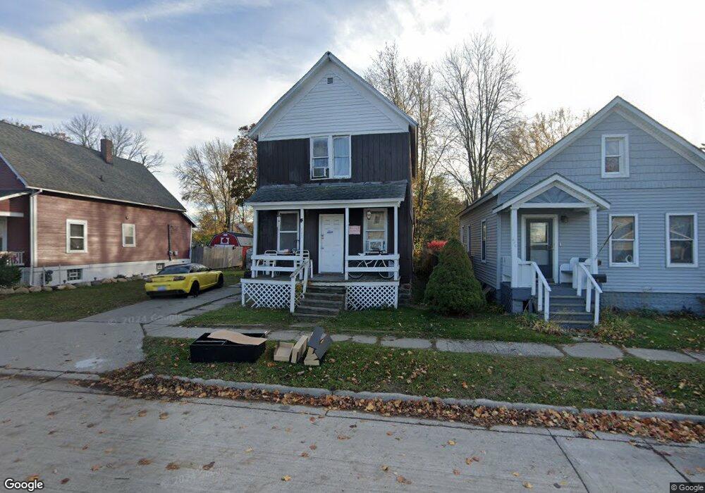
820 Oak St Port Huron, MI 48060
Estimated Value: $27,000 - $135,000
2
Beds
1
Bath
1,476
Sq Ft
$62/Sq Ft
Est. Value
About This Home
This home is located at 820 Oak St, Port Huron, MI 48060 and is currently estimated at $90,845, approximately $61 per square foot. 820 Oak St is a home located in St. Clair County with nearby schools including Woodrow Wilson Elementary School, Central Middle School, and Port Huron High School.
Ownership History
Date
Name
Owned For
Owner Type
Purchase Details
Closed on
Nov 13, 2025
Sold by
Rail Estate Llc
Bought by
Radar Holdings Llc
Current Estimated Value
Purchase Details
Closed on
Aug 20, 2025
Sold by
Saint Clair County Treasurer
Bought by
Rail Estate Llc and Radar Holdings Llc
Purchase Details
Closed on
Jul 13, 1998
Sold by
Holburt Thoams A and Holburt Bonnie Mae
Bought by
Duckowrth Karen
Create a Home Valuation Report for This Property
The Home Valuation Report is an in-depth analysis detailing your home's value as well as a comparison with similar homes in the area
Home Values in the Area
Average Home Value in this Area
Purchase History
| Date | Buyer | Sale Price | Title Company |
|---|---|---|---|
| Radar Holdings Llc | -- | None Listed On Document | |
| Rail Estate Llc | $26,750 | None Listed On Document | |
| Duckowrth Karen | -- | None Available |
Source: Public Records
Tax History Compared to Growth
Tax History
| Year | Tax Paid | Tax Assessment Tax Assessment Total Assessment is a certain percentage of the fair market value that is determined by local assessors to be the total taxable value of land and additions on the property. | Land | Improvement |
|---|---|---|---|---|
| 2025 | $1,126 | $44,100 | $0 | $0 |
| 2024 | $803 | $41,600 | $0 | $0 |
| 2023 | $866 | $34,600 | $0 | $0 |
| 2022 | $1,213 | $27,700 | $0 | $0 |
| 2021 | $683 | $23,400 | $0 | $0 |
| 2020 | $972 | $20,600 | $20,600 | $0 |
| 2019 | $678 | $14,700 | $0 | $0 |
| 2018 | $664 | $14,700 | $0 | $0 |
| 2017 | $594 | $13,800 | $0 | $0 |
| 2016 | $495 | $13,800 | $0 | $0 |
| 2015 | $509 | $13,800 | $13,800 | $0 |
| 2014 | $509 | $14,200 | $14,200 | $0 |
| 2013 | -- | $15,400 | $0 | $0 |
Source: Public Records
Map
Nearby Homes
- 1623 8th St
- 831 Bancroft St
- 926 Griswold St
- 731 Bancroft St
- 738 Bancroft St
- 1712 7th St
- 620 Griswold St
- 000 10th St
- 1831 11th St
- 1112 Minnie St
- 1127 Minnie St
- 1132 Griswold St
- 1103 White St
- 730 Jenkinson St
- 2109 Military St
- 1207 White St
- 1309 Division St
- 1322 Division St
- 1325 Division St
- 828 Wall St