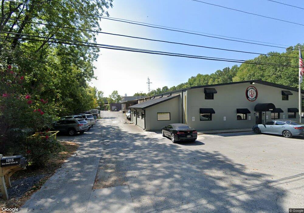
820 Riverbend Dr Dalton, GA 30721
Estimated Value: $1,257,217
Studio
--
Bath
18,180
Sq Ft
$69/Sq Ft
Est. Value
About This Home
This home is located at 820 Riverbend Dr, Dalton, GA 30721 and is currently estimated at $1,257,217, approximately $69 per square foot. 820 Riverbend Dr is a home located in Whitfield County with nearby schools including City Park Elementary School, Dalton High School, and Rock Hill School.
Ownership History
Date
Name
Owned For
Owner Type
Purchase Details
Closed on
Apr 30, 2018
Sold by
Wareh North Whitfield Mini
Bought by
Barrett Real Estate Holdings L
Current Estimated Value
Purchase Details
Closed on
Oct 5, 2012
Sold by
Rth Properties Llc
Bought by
North Whitfield Mini Warehouse
Purchase Details
Closed on
Dec 21, 2005
Sold by
Gareth Ross Rogers
Bought by
Rth Properties Llc
Purchase Details
Closed on
Apr 1, 1994
Bought by
Rogers Gareth Ross Etal
Create a Home Valuation Report for This Property
The Home Valuation Report is an in-depth analysis detailing your home's value as well as a comparison with similar homes in the area
Purchase History
| Date | Buyer | Sale Price | Title Company |
|---|---|---|---|
| Barrett Real Estate Holdings L | $675,000 | -- | |
| North Whitfield Mini Warehouse | $365,000 | -- | |
| Rth Properties Llc | -- | -- | |
| Rogers Gareth Ross Etal | $110,000 | -- |
Source: Public Records
Tax History
| Year | Tax Paid | Tax Assessment Tax Assessment Total Assessment is a certain percentage of the fair market value that is determined by local assessors to be the total taxable value of land and additions on the property. | Land | Improvement |
|---|---|---|---|---|
| 2025 | $8,745 | $453,639 | $120,000 | $333,639 |
| 2024 | $8,745 | $453,639 | $120,000 | $333,639 |
| 2023 | $9,377 | $272,248 | $16,800 | $255,448 |
| 2022 | $7,062 | $205,030 | $16,800 | $188,230 |
| 2021 | $7,072 | $205,030 | $16,800 | $188,230 |
| 2020 | $7,346 | $205,030 | $16,800 | $188,230 |
| 2019 | $7,574 | $205,030 | $16,800 | $188,230 |
| 2018 | $5,776 | $154,028 | $16,800 | $137,228 |
| 2017 | $5,559 | $154,028 | $16,800 | $137,228 |
| 2016 | $5,595 | $154,028 | $16,800 | $137,228 |
| 2014 | $6,929 | $209,937 | $16,800 | $193,137 |
| 2013 | -- | $209,937 | $16,800 | $193,137 |
Source: Public Records
Map
Nearby Homes
- 902 Mattie Dr
- 626 Fifth Ave
- 1104 May St
- 208 E Walnut Ave
- 432 4th Ave
- 1302 Jackson Rd
- 514 Sheridan Ave
- 429 S Glenwood Ave
- 1317 Coker Dr
- 303 Janice St
- 1320 Coker Dr
- 434 Liberty Dr
- 1118 Dozier St
- 804 Thornton Place
- 306 Robinwood Dr
- 920 Sunset Cir
- 232 S Grimes St
- 230 Henderson St
- 919 Sunset Cir Unit 7
- 204 N Bogle St
- 906 Showalter Ave
- 906 Showalter Ave
- 902 Showalter Ave
- 900 Showalter Ave
- 816 Showalter Ave
- 814 Showalter Ave
- 828 5th Ave
- 812 Showalter Ave
- 813 Showalter Ave
- 900 Mattie Dr
- 824 Mattie St Unit 1
- 824 Mattie Dr
- 824 Mattie St
- 806 Showalter Ave
- 811 Showalter Ave
- 1015 New Harris St
- 901 Mattie Dr
- 808 Showalter Ave
- 1004 Doris St
- 809 Showalter Ave
Your Personal Tour Guide
Ask me questions while you tour the home.