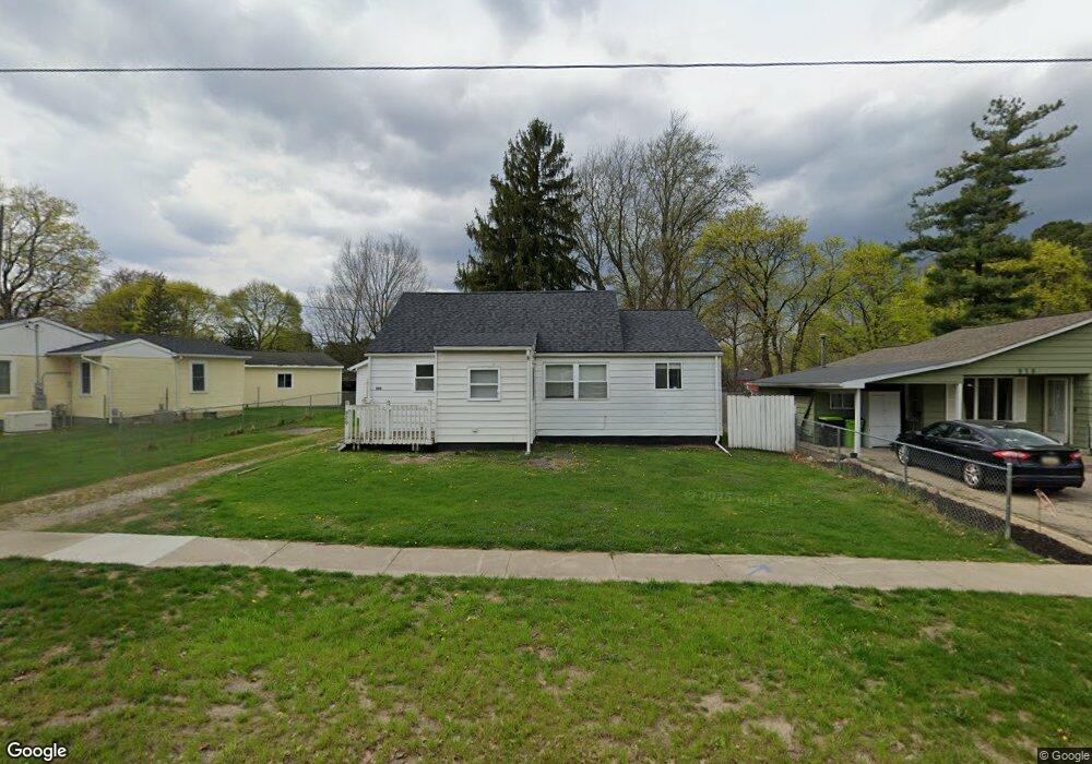
820 State Rd Fenton, MI 48430
Estimated Value: $197,992 - $246,000
About This Home
This home is located at 820 State Rd, Fenton, MI 48430 and is currently estimated at $221,248, approximately $241 per square foot. 820 State Rd is a home located in Genesee County with nearby schools including Fenton Senior High School and St. John the Evangelist Catholic School.
Ownership History
We collect this data history from publicly available records. To have your information removed, we recommend requesting removal directly through your county’s website.
Purchase Details
Purchase Details
Purchase Details
Home Values in the Area
Average Home Value in this Area
Purchase History
We collect this data history from publicly available records. To have your information removed, we recommend requesting removal directly through your county’s website.
| Date | Buyer | Sale Price | Title Company |
|---|---|---|---|
| -- | None Listed On Document | ||
| -- | None Available | ||
| -- | None Available |
Tax History
We collect this data history from publicly available records. To have your information removed, we recommend requesting removal directly through your county’s website.
| Year | Tax Paid | Tax Assessment Tax Assessment Total Assessment is a certain percentage of the fair market value that is determined by local assessors to be the total taxable value of land and additions on the property. | Land | Improvement |
|---|---|---|---|---|
| 2025 | $1,126 | $70,400 | $0 | $0 |
| 2024 | $1,097 | $70,500 | $0 | $0 |
| 2023 | $1,047 | $62,400 | $0 | $0 |
| 2022 | $1,463 | $51,500 | $0 | $0 |
| 2021 | $1,313 | $49,300 | $0 | $0 |
| 2020 | $863 | $47,600 | $0 | $0 |
| 2019 | $855 | $44,300 | $0 | $0 |
| 2018 | $1,250 | $40,200 | $0 | $0 |
| 2017 | $1,204 | $38,500 | $0 | $0 |
| 2016 | $0 | $0 | $0 | $0 |
| 2015 | $1,222 | $31,900 | $0 | $0 |
| 2012 | -- | $27,300 | $27,300 | $0 |
Map
- 524 W Rockwell St Unit B2
- 11673 Orchardview Dr
- 1014 S Adelaide St
- 305 Furlong Ct
- 112 Mill St
- 11577 Farmhill Dr
- 814 Whisperwood Dr Unit 130
- 886 Whisperwood Trail
- 0 W Caroline St
- 425 W Caroline St
- 1021 Willowood Ct Unit 40
- 615 Senecal St
- 105 S Pine St
- 611 W Silver Lake Rd
- 218 N Walnut St
- 404 N Adelaide St
- 225 1st St
- 609 Main St
- 2 Serenity Shore
- 714 Eagle Dr Unit 55
Ask me questions while you tour the home.