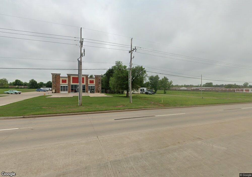
820 W State Highway 152 Mustang, OK 73064
Mustang Heights NeighborhoodEstimated Value: $247,000 - $739,805
3
Beds
1
Bath
1,212
Sq Ft
$337/Sq Ft
Est. Value
About This Home
This home is located at 820 W State Highway 152, Mustang, OK 73064 and is currently estimated at $408,451, approximately $337 per square foot. 820 W State Highway 152 is a home located in Canadian County with nearby schools including Mustang Centennial Elementary School, Mustang Horizon Intermediate School, and Mustang Middle School.
Ownership History
Date
Name
Owned For
Owner Type
Purchase Details
Closed on
Aug 24, 2017
Sold by
Lydia H Hendrick Living Trust
Bought by
Sathyam Properties Llc
Current Estimated Value
Home Financials for this Owner
Home Financials are based on the most recent Mortgage that was taken out on this home.
Original Mortgage
$300,000
Outstanding Balance
$160,833
Interest Rate
4.03%
Mortgage Type
New Conventional
Estimated Equity
$247,618
Purchase Details
Closed on
Apr 2, 2002
Sold by
Hendrick Lydia H
Bought by
Hendrick,Lydia H Living Trust
Create a Home Valuation Report for This Property
The Home Valuation Report is an in-depth analysis detailing your home's value as well as a comparison with similar homes in the area
Home Values in the Area
Average Home Value in this Area
Purchase History
| Date | Buyer | Sale Price | Title Company |
|---|---|---|---|
| Sathyam Properties Llc | $430,000 | Old Republic Title | |
| Hendrick,Lydia H Living Trust | -- | -- |
Source: Public Records
Mortgage History
| Date | Status | Borrower | Loan Amount |
|---|---|---|---|
| Open | Sathyam Properties Llc | $300,000 |
Source: Public Records
Tax History Compared to Growth
Tax History
| Year | Tax Paid | Tax Assessment Tax Assessment Total Assessment is a certain percentage of the fair market value that is determined by local assessors to be the total taxable value of land and additions on the property. | Land | Improvement |
|---|---|---|---|---|
| 2024 | $1,171 | $12,329 | $4,087 | $8,242 |
| 2023 | $1,171 | $11,742 | $3,567 | $8,175 |
| 2022 | $1,129 | $11,183 | $3,067 | $8,116 |
| 2021 | $1,080 | $10,650 | $2,537 | $8,113 |
| 2020 | $1,035 | $10,144 | $2,033 | $8,111 |
| 2019 | $985 | $9,660 | $1,553 | $8,107 |
| 2018 | $959 | $9,200 | $1,553 | $7,647 |
| 2017 | $673 | $6,667 | $1,553 | $5,114 |
| 2016 | $642 | $6,667 | $1,553 | $5,114 |
| 2015 | -- | $6,047 | $1,553 | $4,494 |
| 2014 | -- | $5,759 | $1,553 | $4,206 |
Source: Public Records
Map
Nearby Homes
- 602 W Shadow Ridge Way
- 844 W Forest Dr
- 850 W Forest Dr
- 628 W Alamo Court Way
- 531 W Shadow Ridge Way
- 508 N Caddell Way
- 1035 W Windsor Way
- 613 W Greenwood Ct
- 635 W Hillcrest Dr
- 601 N Chisholm Trail Way
- 608 N Remington Way
- 413 W Pines Way
- 350 W Elder Dr
- 1405 S Dean Dr
- 3629 Blue Ave
- 3633 Blue Ave
- 3637 Pete St
- 3636 Blue Ave
- 3633 Pete St
- 3632 Blue Ave
- 780 W State Highway 152
- 800 W Celestial Way
- 804 W Celestial Way
- 808 W Celestial Way
- 812 W Celestial Way
- 728 W Celestial Way
- 736 W Celestial Way
- 816 W Celestial Way
- 724 W Celestial Way
- 720 W Celestial Way
- 716 W Celestial Way
- 820 N Eric Way
- 101 N Eric Way
- 712 W Celestial Way
- 105 N Eric Way
- 100 N Justin Way
- 109 N Eric Way
- 104 N Justin Way
- 113 N Eric Way
- 108 N Justin Way