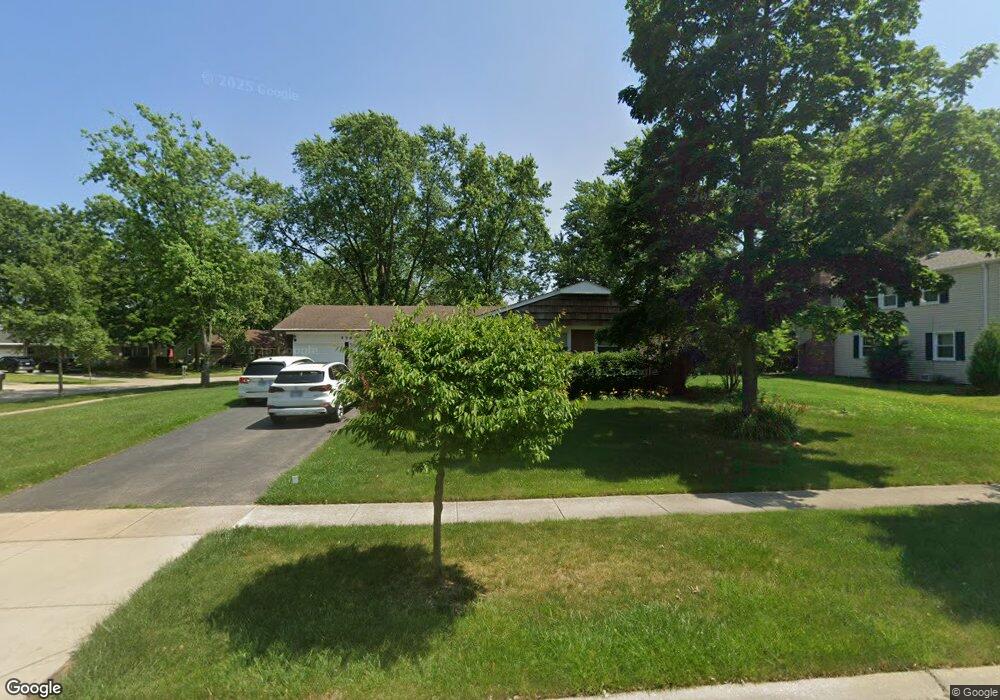
820 Westbourne Ln Buffalo Grove, IL 60089
Estimated Value: $433,000 - $454,000
3
Beds
2
Baths
1,614
Sq Ft
$275/Sq Ft
Est. Value
About This Home
This home is located at 820 Westbourne Ln, Buffalo Grove, IL 60089 and is currently estimated at $444,567, approximately $275 per square foot. 820 Westbourne Ln is a home located in Lake County with nearby schools including Ivy Hall Elementary School, Twin Groves Middle School, and Adlai E Stevenson High School.
Ownership History
Date
Name
Owned For
Owner Type
Purchase Details
Closed on
May 13, 2017
Sold by
Friedman Myron S and Friedman Sarah
Bought by
Goun Kim Sheong J and Goun Kim Elle
Current Estimated Value
Home Financials for this Owner
Home Financials are based on the most recent Mortgage that was taken out on this home.
Original Mortgage
$240,000
Outstanding Balance
$161,794
Interest Rate
3.87%
Mortgage Type
New Conventional
Estimated Equity
$282,773
Create a Home Valuation Report for This Property
The Home Valuation Report is an in-depth analysis detailing your home's value as well as a comparison with similar homes in the area
Home Values in the Area
Average Home Value in this Area
Purchase History
| Date | Buyer | Sale Price | Title Company |
|---|---|---|---|
| Goun Kim Sheong J | $300,000 | Chicago Title |
Source: Public Records
Mortgage History
| Date | Status | Borrower | Loan Amount |
|---|---|---|---|
| Open | Goun Kim Sheong J | $240,000 |
Source: Public Records
Tax History Compared to Growth
Tax History
| Year | Tax Paid | Tax Assessment Tax Assessment Total Assessment is a certain percentage of the fair market value that is determined by local assessors to be the total taxable value of land and additions on the property. | Land | Improvement |
|---|---|---|---|---|
| 2024 | $10,333 | $115,241 | $36,306 | $78,935 |
| 2023 | $9,832 | $108,738 | $34,257 | $74,481 |
| 2022 | $9,832 | $100,292 | $31,596 | $68,696 |
| 2021 | $9,458 | $99,210 | $31,255 | $67,955 |
| 2020 | $9,236 | $99,549 | $31,362 | $68,187 |
| 2019 | $9,110 | $99,182 | $31,246 | $67,936 |
| 2018 | $8,562 | $96,407 | $30,881 | $65,526 |
| 2017 | $8,398 | $94,156 | $30,160 | $63,996 |
| 2016 | $8,172 | $90,162 | $28,881 | $61,281 |
| 2015 | $7,944 | $84,318 | $27,009 | $57,309 |
| 2014 | $7,408 | $77,972 | $29,007 | $48,965 |
| 2012 | $7,334 | $78,128 | $29,065 | $49,063 |
Source: Public Records
Map
Nearby Homes
- 610 Checker Dr
- 711 Woodhollow Ln
- 800 Clohesey Dr
- 390 Springside Ln
- 931 Shady Grove Ln
- 412 Chateau Dr
- 746 Old Checker Rd Unit E5
- 950 Belmar Ln
- 1141 Devonshire Rd
- 12 Cloverdale Ct
- 1112 Auburn Ln
- 603 Cherbourg Ct N
- 887 Saybrook Ln Unit 2
- 938 Hidden Lake Dr
- 1113 Lockwood Dr
- 1265 Devonshire Rd
- 1118 Larraway Dr
- 1032 Courtland Dr Unit 9
- 625 Marseilles Cir
- 670 Dunhill Dr
- 751 Twisted Oak Ln
- 830 Westbourne Ln
- 821 Westbourne Ln
- 710 Twisted Oak Ln
- 840 Westbourne Ln
- 720 Twisted Oak Ln
- 811 Dorncliff Ln
- 730 Twisted Oak Ln Unit 9
- 700 Twisted Oak Ln
- 831 Westbourne Ln
- 740 Twisted Oak Ln
- 690 Twisted Oak Ln
- 841 Westbourne Ln
- 850 Westbourne Ln
- 750 Twisted Oak Ln
- 831 Dorncliff Ln
- 850 Hollystone Ln
- 631 Checker Dr
- 641 Checker Dr
- 680 Twisted Oak Ln