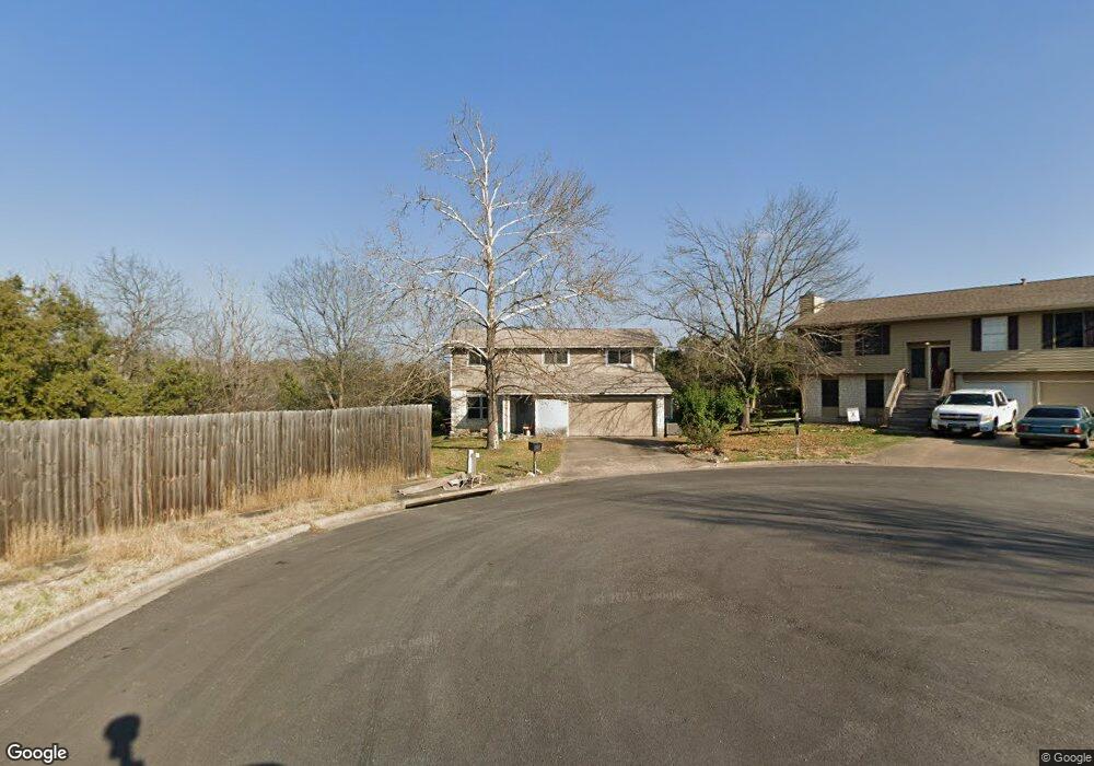
8201 Burnt Cir Austin, TX 78736
West Oak Hill NeighborhoodEstimated Value: $421,000 - $492,000
3
Beds
3
Baths
1,574
Sq Ft
$289/Sq Ft
Est. Value
About This Home
This home is located at 8201 Burnt Cir, Austin, TX 78736 and is currently estimated at $455,053, approximately $289 per square foot. 8201 Burnt Cir is a home located in Travis County with nearby schools including Patton Elementary School, Small Middle School, and James Bowie High School.
Ownership History
Date
Name
Owned For
Owner Type
Purchase Details
Closed on
Jun 8, 2011
Sold by
Sunstone Properties Llc
Bought by
Rock Story Samantha
Current Estimated Value
Home Financials for this Owner
Home Financials are based on the most recent Mortgage that was taken out on this home.
Original Mortgage
$148,000
Outstanding Balance
$102,553
Interest Rate
4.74%
Mortgage Type
New Conventional
Estimated Equity
$352,500
Purchase Details
Closed on
May 27, 2010
Sold by
Torres Victor A and Torres Gloria V
Bought by
Sunstone Properties Llc
Home Financials for this Owner
Home Financials are based on the most recent Mortgage that was taken out on this home.
Original Mortgage
$132,000
Interest Rate
5%
Mortgage Type
Purchase Money Mortgage
Create a Home Valuation Report for This Property
The Home Valuation Report is an in-depth analysis detailing your home's value as well as a comparison with similar homes in the area
Home Values in the Area
Average Home Value in this Area
Purchase History
| Date | Buyer | Sale Price | Title Company |
|---|---|---|---|
| Rock Story Samantha | -- | None Available | |
| Sunstone Properties Llc | -- | Independence Title Co |
Source: Public Records
Mortgage History
| Date | Status | Borrower | Loan Amount |
|---|---|---|---|
| Open | Rock Story Samantha | $148,000 | |
| Previous Owner | Sunstone Properties Llc | $132,000 |
Source: Public Records
Tax History Compared to Growth
Tax History
| Year | Tax Paid | Tax Assessment Tax Assessment Total Assessment is a certain percentage of the fair market value that is determined by local assessors to be the total taxable value of land and additions on the property. | Land | Improvement |
|---|---|---|---|---|
| 2025 | $6,506 | $439,362 | $240,003 | $199,359 |
| 2023 | $5,421 | $383,461 | $0 | $0 |
| 2022 | $6,885 | $348,601 | $0 | $0 |
| 2021 | $6,898 | $316,910 | $138,000 | $227,074 |
| 2020 | $6,179 | $288,100 | $138,000 | $150,100 |
| 2018 | $5,890 | $266,022 | $138,000 | $128,022 |
| 2017 | $5,796 | $259,896 | $92,000 | $175,558 |
| 2016 | $5,269 | $236,269 | $92,000 | $174,095 |
| 2015 | $4,231 | $214,790 | $44,000 | $185,801 |
| 2014 | $4,231 | $195,264 | $0 | $0 |
Source: Public Records
Map
Nearby Homes
- 8005 Red Willow Dr
- 8318 Gallatin Dr
- 7008 Chinook Dr
- 8210 Landsman Dr
- 8536 Red Willow Dr
- 7010 Harvest Trail Dr
- Plan 2070 at Creekside at Estancia
- Plan 2245 at Creekside at Estancia
- Plan 1888 at Scenic Pass
- Plan 2881 at Scenic Pass
- Plan 1675 at Scenic Pass
- Plan 2586 at Creekside at Estancia
- Plan 1908 Modeled at Creekside at Estancia
- Plan 2469 at Scenic Pass
- Plan 2527 Modeled at Creekside at Estancia
- Plan 2502 at Scenic Pass
- Plan 1315 at Creekside at Estancia
- Plan 1548 at Creekside at Estancia
- Plan 1780 at Creekside at Estancia
- Plan 1491 at Scenic Pass
- 8203 Burnt Cir
- 8202 Burnt Cir
- 7312 Scenic Brook Dr
- 7310 Scenic Brook Dr
- 8209 Spring Valley Dr
- 7314 Scenic Brook Dr
- 8211 Spring Valley Dr
- 7308 Scenic Brook Dr
- 8207 Spring Valley Dr
- 8207 Burnt Cir
- 8204 Burnt Cir
- 8202 Hanbridge Ln
- 8213 Spring Valley Dr
- 7306 Scenic Brook Dr
- 8205 Spring Valley Dr
- 8200 Hanbridge Ln
- 8206 Burnt Cir
- 8301 Spring Valley Dr
- 8203 Spring Valley Dr
- 7304 Scenic Brook Dr