8201 Strothkamp Ln Sullivan, MO 63080
Estimated Value: $361,423 - $364,000
3
Beds
1
Bath
1,568
Sq Ft
$231/Sq Ft
Est. Value
About This Home
This home is located at 8201 Strothkamp Ln, Sullivan, MO 63080 and is currently estimated at $362,712, approximately $231 per square foot. 8201 Strothkamp Ln is a home located in Franklin County with nearby schools including Strain-Japan Elementary School.
Ownership History
Date
Name
Owned For
Owner Type
Purchase Details
Closed on
Oct 1, 2013
Sold by
Franklin County
Bought by
Strothkamp Dale A
Current Estimated Value
Purchase Details
Closed on
May 14, 2012
Sold by
Kukco Teresa and Strothkamp Teresa
Bought by
Strothkamp Dale A
Home Financials for this Owner
Home Financials are based on the most recent Mortgage that was taken out on this home.
Original Mortgage
$75,000
Interest Rate
3.9%
Mortgage Type
New Conventional
Purchase Details
Closed on
May 5, 2005
Sold by
Strothkamp Teresa and Strothkamp Dale A
Bought by
Strothkamp Dale A and Strothkamp Teresa
Home Financials for this Owner
Home Financials are based on the most recent Mortgage that was taken out on this home.
Original Mortgage
$109,910
Interest Rate
5.78%
Mortgage Type
New Conventional
Create a Home Valuation Report for This Property
The Home Valuation Report is an in-depth analysis detailing your home's value as well as a comparison with similar homes in the area
Purchase History
| Date | Buyer | Sale Price | Title Company |
|---|---|---|---|
| Strothkamp Dale A | -- | -- | |
| Strothkamp Dale A | -- | None Available | |
| Strothkamp Dale A | -- | None Available |
Source: Public Records
Mortgage History
| Date | Status | Borrower | Loan Amount |
|---|---|---|---|
| Previous Owner | Strothkamp Dale A | $75,000 | |
| Previous Owner | Strothkamp Dale A | $109,910 |
Source: Public Records
Tax History
| Year | Tax Paid | Tax Assessment Tax Assessment Total Assessment is a certain percentage of the fair market value that is determined by local assessors to be the total taxable value of land and additions on the property. | Land | Improvement |
|---|---|---|---|---|
| 2025 | $1,758 | $36,648 | $0 | $0 |
| 2024 | $1,758 | $30,623 | $0 | $0 |
| 2023 | $1,517 | $30,623 | $0 | $0 |
| 2022 | $1,717 | $33,510 | $0 | $0 |
| 2021 | $1,714 | $33,510 | $0 | $0 |
| 2020 | $1,647 | $31,825 | $0 | $0 |
| 2019 | $1,643 | $31,825 | $0 | $0 |
| 2018 | $1,546 | $29,625 | $0 | $0 |
| 2017 | $1,537 | $29,581 | $0 | $0 |
| 2016 | $1,419 | $27,153 | $0 | $0 |
| 2015 | $1,433 | $27,153 | $0 | $0 |
| 2014 | $1,457 | $27,502 | $0 | $0 |
Source: Public Records
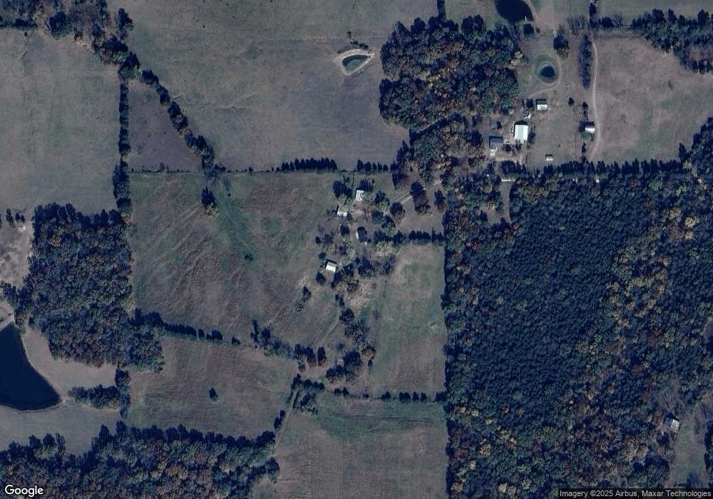
Map
Nearby Homes
- 4101 Juedeman Rd
- 4355 Licklider Rd
- 4023 Juedeman Rd
- 9445 Highway An
- 1300 Radford Rd
- 7951 Elmont Rd
- 2803 Highway J
- 9081 W Red Oak Rd
- 66 Highway Cc
- 3773 Blocks Branch Rd
- 9081 & 9085 W Red Oak Rd
- 15746 Hwy F
- 4203 Highway 19
- 2227 Highway J
- 2640 Highway H
- 6028 Highway Ac
- 0 Hill-Klein Rd Unit 25876821
- 000 TBD Hill-Klein Rd
- 000 Tbd Hill Klein Rd
- 105 Rohrer Rd
- 8224 Strothkamp Ln
- 8143 Strothkamp Ln
- 8099 Strothkamp Ln
- 8091 Strothkamp Ln
- 9215 Little Bourbeuse Rd
- 8006 Strothkamp Ln
- 8063 Strothkamp Ln
- 9130 Little Bourbeuse Rd
- 9295 Little Bourbeuse Rd
- 8701 Highway Ae
- 9305 Little Bourbeuse Rd
- 9324 Martin Cemetary Rd
- 9366 Martin Cemetary Rd
- 8636 Highway Ae
- 8515 Jakes Prairie Rd
- 1367 Schmitt Cemetery Rd
- 9324 Martin Cemetery Rd
- 8455 Jakes Prairie Rd
- 8749 Highway Ae
- 618 Berry Patch Ln
Your Personal Tour Guide
Ask me questions while you tour the home.