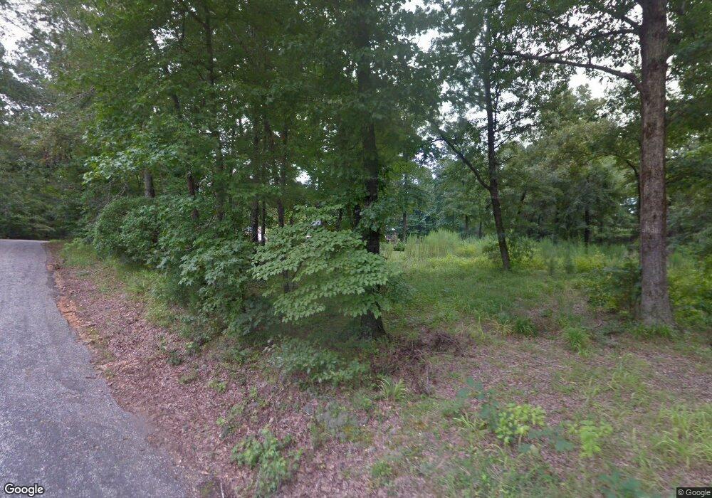
8201 W Elm St Benton, AR 72015
Estimated Value: $170,618 - $250,000
--
Bed
2
Baths
1,320
Sq Ft
$150/Sq Ft
Est. Value
About This Home
This home is located at 8201 W Elm St, Benton, AR 72015 and is currently estimated at $198,155, approximately $150 per square foot. 8201 W Elm St is a home located in Grant County with nearby schools including Pine Haven Elementary School, Bauxite Middle School, and Bauxite High School.
Ownership History
Date
Name
Owned For
Owner Type
Purchase Details
Closed on
Feb 24, 2005
Sold by
Rollon Kelly L
Bought by
Rollon Greg and Rollon Janet
Current Estimated Value
Purchase Details
Closed on
Mar 23, 2001
Bought by
Rollon
Purchase Details
Closed on
Jan 16, 2001
Bought by
Rollon G
Create a Home Valuation Report for This Property
The Home Valuation Report is an in-depth analysis detailing your home's value as well as a comparison with similar homes in the area
Home Values in the Area
Average Home Value in this Area
Purchase History
| Date | Buyer | Sale Price | Title Company |
|---|---|---|---|
| Rollon Greg | -- | Transcontinental Title Compa | |
| Rollon | -- | -- | |
| Rollon G | -- | -- |
Source: Public Records
Tax History Compared to Growth
Tax History
| Year | Tax Paid | Tax Assessment Tax Assessment Total Assessment is a certain percentage of the fair market value that is determined by local assessors to be the total taxable value of land and additions on the property. | Land | Improvement |
|---|---|---|---|---|
| 2025 | $988 | $34,300 | $2,000 | $32,300 |
| 2024 | $988 | $27,940 | $1,000 | $26,940 |
| 2023 | $563 | $27,940 | $1,000 | $26,940 |
| 2022 | $613 | $27,940 | $1,000 | $26,940 |
| 2021 | $613 | $27,940 | $1,000 | $26,940 |
| 2020 | $613 | $21,470 | $2,000 | $19,470 |
| 2019 | $613 | $21,470 | $2,000 | $19,470 |
| 2018 | $638 | $21,470 | $2,000 | $19,470 |
| 2017 | $576 | $21,190 | $2,000 | $19,190 |
| 2015 | -- | $16,840 | $2,000 | $14,840 |
| 2014 | -- | $16,840 | $2,000 | $14,840 |
| 2012 | -- | $16,840 | $2,000 | $14,840 |
Source: Public Records
Map
Nearby Homes
- 5167 Dale Rd
- Lot 14 Dale Road Acres
- Lot 13 Dale Road Acres
- Lot 11 Dale Road Acres
- TBD Forrest Rd Fields
- Forest Rd
- 1310 Caroline Cove
- 1343 Pine Dr
- 1313 Madeline Cir
- tbd S Taft St
- 221 Iris St
- 301 S Harding St
- 000 Opitz Rd
- 114 Hayes Haskell St
- 1164 Tulip Haskell St
- 343 Lamplighter Dr
- 929 Grand Ave
- RC Tucson Plan at South Haven Estates
- RC Coleman Plan at South Haven Estates
- RC Franklin Plan at South Haven Estates
- 8412 W Elm St
- 8407 W Elm St
- 00 W Elm St
- 11600 Highway 190
- 1117 Horton Rd
- 8600 W Elm St
- 8216 E Elm St
- 11514 Highway 190
- 8223 E Elm St
- 8244 State Highway 190 N
- 11418 Highway 190
- 8256 Birch St
- 8716 W Elm St
- 8320 Birch St
- 8924 W Elm St
- 0 Horton Rd
- 1212 Horton Rd
- 8201 Birch St
- 8916 W Elm St
- 8410 E Elm St
