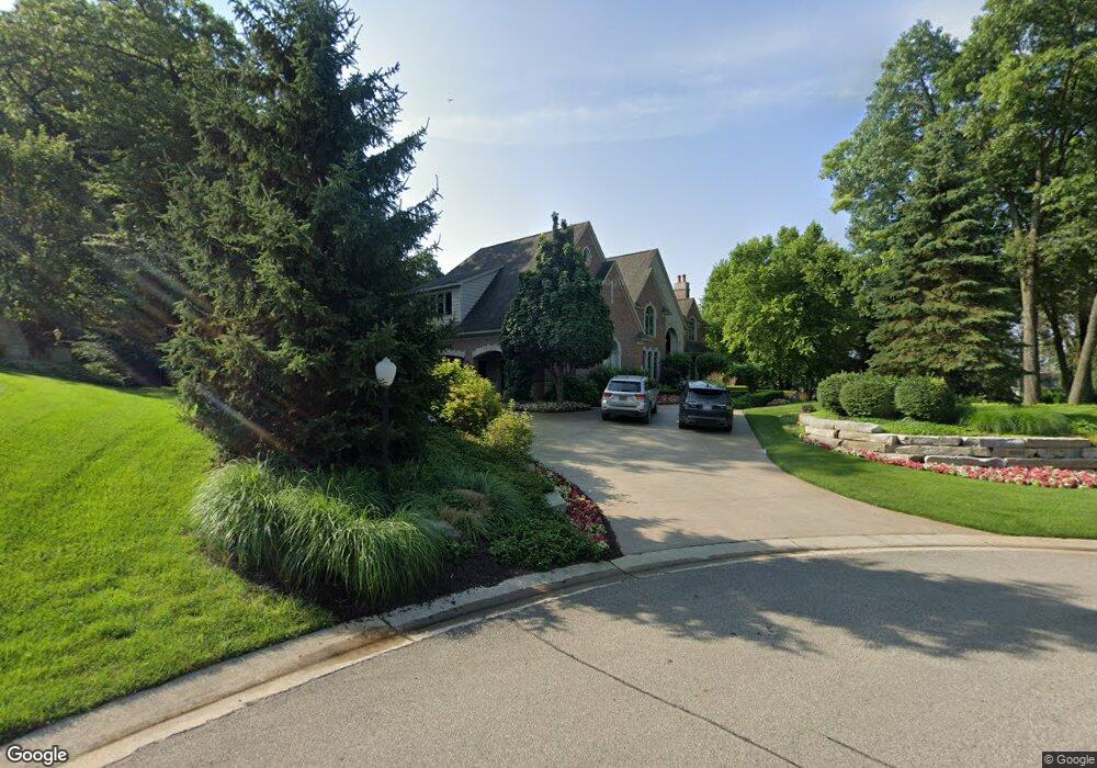
8203 Avington Ct Unit Bldg-Unit Clarkston, MI 48348
Estimated Value: $1,584,000 - $2,028,000
5
Beds
7
Baths
6,470
Sq Ft
$278/Sq Ft
Est. Value
About This Home
This home is located at 8203 Avington Ct Unit Bldg-Unit, Clarkston, MI 48348 and is currently estimated at $1,797,733, approximately $277 per square foot. 8203 Avington Ct Unit Bldg-Unit is a home located in Oakland County with nearby schools including Everest Academy.
Ownership History
Date
Name
Owned For
Owner Type
Purchase Details
Closed on
Aug 3, 2022
Sold by
Kisser Richard A and Kisser Theresa
Bought by
Curthoys Katelyn
Current Estimated Value
Home Financials for this Owner
Home Financials are based on the most recent Mortgage that was taken out on this home.
Original Mortgage
$1,200,000
Outstanding Balance
$1,104,335
Interest Rate
1.8%
Mortgage Type
New Conventional
Estimated Equity
$693,398
Purchase Details
Closed on
Dec 30, 2002
Sold by
Clarkston Holdings Ltd
Bought by
Kisser Richard A
Create a Home Valuation Report for This Property
The Home Valuation Report is an in-depth analysis detailing your home's value as well as a comparison with similar homes in the area
Home Values in the Area
Average Home Value in this Area
Purchase History
| Date | Buyer | Sale Price | Title Company |
|---|---|---|---|
| Curthoys Katelyn | $1,500,000 | -- | |
| Kisser Richard A | $170,000 | -- |
Source: Public Records
Mortgage History
| Date | Status | Borrower | Loan Amount |
|---|---|---|---|
| Open | Curthoys Katelyn | $1,200,000 |
Source: Public Records
Tax History Compared to Growth
Tax History
| Year | Tax Paid | Tax Assessment Tax Assessment Total Assessment is a certain percentage of the fair market value that is determined by local assessors to be the total taxable value of land and additions on the property. | Land | Improvement |
|---|---|---|---|---|
| 2024 | $13,551 | $655,800 | $67,500 | $588,300 |
| 2023 | $16,659 | $597,700 | $65,500 | $532,200 |
| 2022 | $16,659 | $554,500 | $65,500 | $489,000 |
| 2021 | $16,664 | $577,600 | $69,400 | $508,200 |
| 2020 | $10,786 | $545,200 | $69,400 | $475,800 |
| 2018 | $15,901 | $615,800 | $62,000 | $553,800 |
| 2015 | -- | $693,500 | $0 | $0 |
| 2014 | -- | $608,500 | $0 | $0 |
| 2011 | -- | $423,400 | $0 | $0 |
Source: Public Records
Map
Nearby Homes
- 5226 Forest Valley Dr
- 0 Thendara Blvd Unit 20250006134
- 5010 Forest Valley Dr
- 8550 Pine Knob Rd
- 5196 Greenview Dr
- 5105 Wah Ta Wah Dr
- 4995 Mohawk Ave
- 8646 Thendara Blvd
- 4910 Clarkston Rd
- 7827 Eames Ct
- 8828 Stonewall E
- 8840 Minne Wanna Rd
- LOT #36 Stonewall E
- 7871 Caberfae Trail
- 7831 Caberfae Trail
- 7811 Caberfae Trail
- 4950 Iroquois Blvd
- 8640 Lakeview Blvd
- 4714 Monterey Ave
- 9550 Colgate Ave
- 8203 Avington Ct
- 0 Avington Ct
- 5524 Avington Pkwy
- LOT 16 Boulderwood Ridge
- Lot 12 Avington Pkwy
- 5525 Avington Pkwy
- Lot 6 Avington Ct
- LOT 15 Boulderwood Ridge
- LOT 13 Boulder Wood Ridge
- 5531 Avington Pkwy Unit 11
- 5519 Avington Pkwy Unit 27
- 8206 Avington Ct
- 5554 Avington Pkwy
- LOT 26 Boulderwood Ridge
- 5513 Avington Pkwy
- 0000 Avington Pkwy
- 5560 Avington Pkwy
- VAC Rosebud Ln
- 5464 Boulderwood Ridge Unit 14
- 0 Rosebud Ln