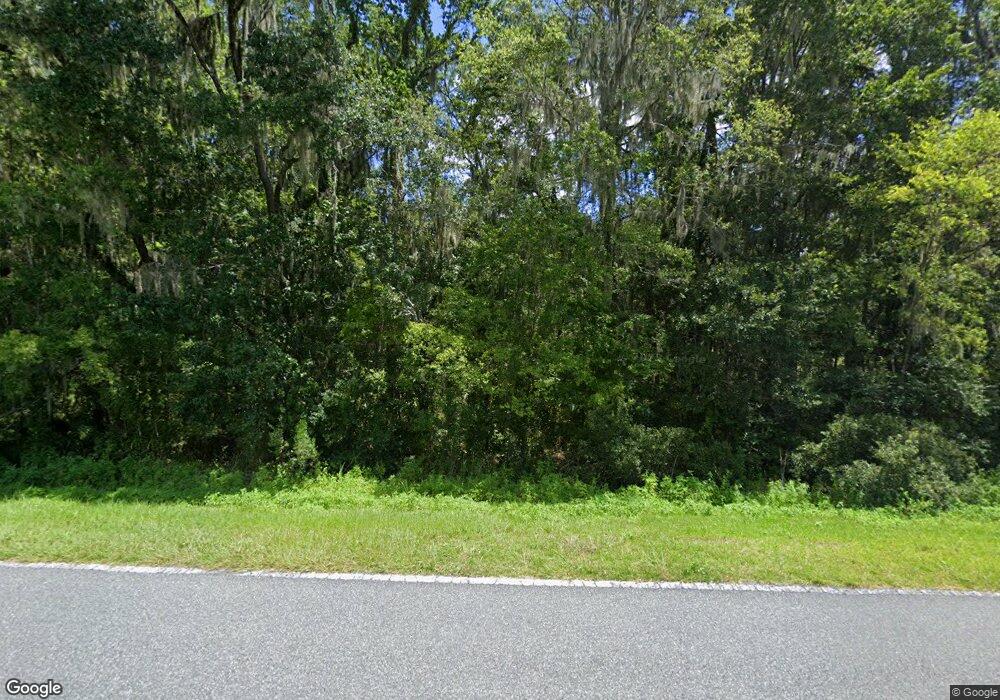
8205 NW Highway 225 Ocala, FL 34482
Fellowship NeighborhoodEstimated Value: $735,000 - $5,495,600
6
Beds
7
Baths
6,948
Sq Ft
$448/Sq Ft
Est. Value
About This Home
This home is located at 8205 NW Highway 225, Ocala, FL 34482 and is currently estimated at $3,115,300, approximately $448 per square foot. 8205 NW Highway 225 is a home located in Marion County with nearby schools including Fessenden Elementary School, North Marion Middle School, and West Port High School.
Ownership History
Date
Name
Owned For
Owner Type
Purchase Details
Closed on
Feb 25, 2008
Sold by
Hagan Donald J and Hagan Leslie Ann
Bought by
Hagan Donald J and Hagan Leslie Ann
Current Estimated Value
Purchase Details
Closed on
Dec 6, 2007
Sold by
Hagan Donald J and Hagan Leslie Ann
Bought by
Hagan Donald J and Hagan Leslie Ann
Purchase Details
Closed on
Mar 7, 2002
Sold by
Como Sara Martha
Bought by
Hagan Donald J and Hagan Leslie A
Create a Home Valuation Report for This Property
The Home Valuation Report is an in-depth analysis detailing your home's value as well as a comparison with similar homes in the area
Home Values in the Area
Average Home Value in this Area
Purchase History
| Date | Buyer | Sale Price | Title Company |
|---|---|---|---|
| Hagan Donald J | -- | None Available | |
| Hagan Donald J | -- | None Available | |
| Hagan Donald J | -- | None Available | |
| Hagan Donald J | -- | None Available | |
| Hagan Donald J | $40,000 | -- |
Source: Public Records
Tax History Compared to Growth
Tax History
| Year | Tax Paid | Tax Assessment Tax Assessment Total Assessment is a certain percentage of the fair market value that is determined by local assessors to be the total taxable value of land and additions on the property. | Land | Improvement |
|---|---|---|---|---|
| 2024 | $846 | $487,361 | -- | -- |
| 2023 | $846 | $473,166 | $0 | $0 |
| 2022 | $846 | $459,384 | $0 | $0 |
| 2021 | $9,513 | $579,654 | $0 | $0 |
| 2020 | $9,422 | $569,854 | $0 | $0 |
| 2019 | $12,258 | $694,478 | $102,876 | $591,602 |
| 2018 | $11,173 | $656,768 | $93,753 | $563,015 |
| 2017 | $10,459 | $610,552 | $63,093 | $547,459 |
| 2016 | $9,183 | $520,700 | $0 | $0 |
| 2015 | $9,048 | $504,447 | $0 | $0 |
| 2014 | $8,587 | $502,652 | $0 | $0 |
Source: Public Records
Map
Nearby Homes
- 9675 NW 63rd St
- 0 N Highway 27 Unit A11795562
- 0 NW 55th Ave Unit MFROM697172
- TBD NW 52 Ct
- 0 NW 55th Ave Unit MFROM703669
- TBD NW 110th Ave
- 0 NW 55th Ave Unit MFROM703675
- 0 NW 55th Ave Unit MFROM707928
- 11130 W Highway 326
- 9327 NW 63rd St
- 4520 NW 95th St
- 9500 NW 95th St
- 0 W Highway 326 Unit MFROM696552
- TBD(10.87ac) NW 115th Ave
- TBD(21.76ac) NW 115th Ave
- 8548 NW 115th Ave
- 0 Us Highway 27
- 8020 NW 115th Ave
- 11105 N Us Highway 27
- 7940 W Highway 326
- 7897 NW Highway 225
- 9851 NW 83rd Place
- 9777 NW 83rd Place
- 9897 NW 83rd Place
- 8423 NW 97th Terrace
- 9963 NW 83rd Place
- 8526 NW 97th Terrace
- 4685 NW 101 Street Rd
- 0 Allentown St Unit D1164114
- 59 NW 59 Ave
- 0 Lot 2 Blk 1241 Unit Unit M1016843
- 290 N West Cir NW
- TBD NW 95th Ave Rd & Nw 28th Place
- TBD E Lakeview Dr
- 7847 NW Highway 225
- 9536 W Highway 326
- 9860 W Highway 326
- 5050 W Highway 326
- TBD W Highway 326
- 16140 W Highway 326
