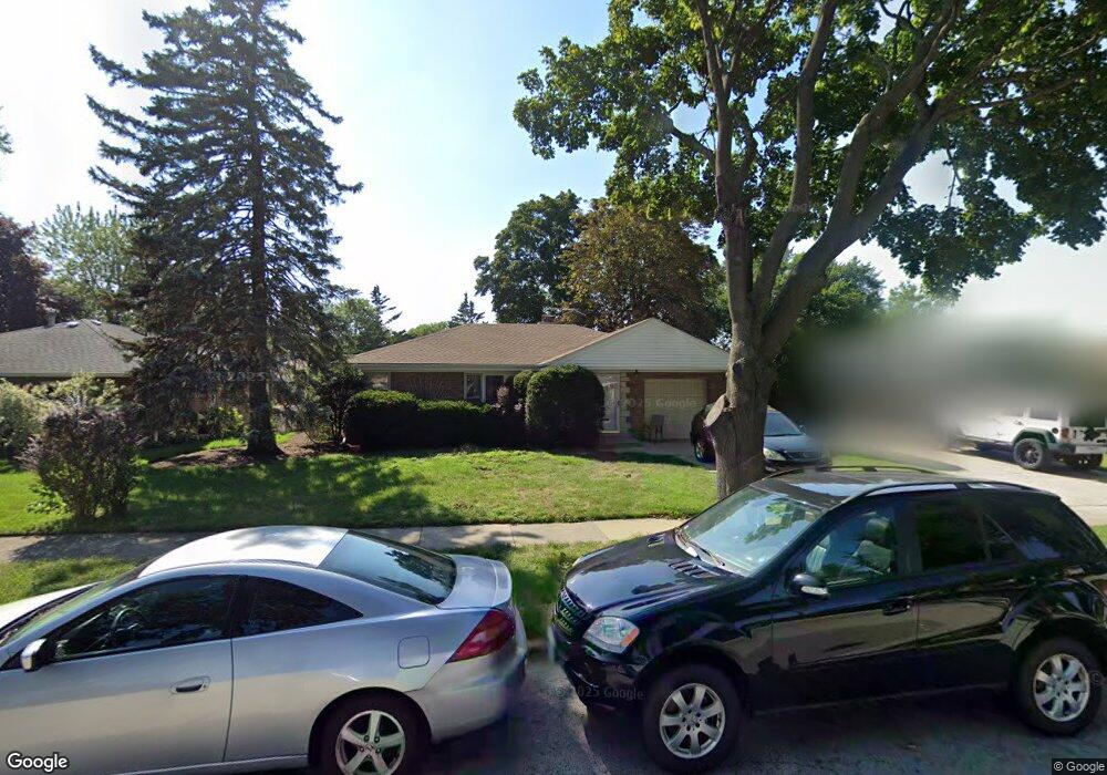
8208 Harding Ave Skokie, IL 60076
Southeast Skokie NeighborhoodEstimated Value: $356,000 - $425,000
2
Beds
1
Bath
1,093
Sq Ft
$362/Sq Ft
Est. Value
About This Home
This home is located at 8208 Harding Ave, Skokie, IL 60076 and is currently estimated at $396,006, approximately $362 per square foot. 8208 Harding Ave is a home located in Cook County with nearby schools including Elizabeth Meyer School, John Middleton Elementary School, and Oliver Mccracken Middle School.
Ownership History
Date
Name
Owned For
Owner Type
Purchase Details
Closed on
Feb 13, 2008
Sold by
Treneva Maria E
Bought by
Trenev Assen I
Current Estimated Value
Purchase Details
Closed on
May 15, 2001
Sold by
Jasser Alfred and Jasser Christine
Bought by
Trenev Assen and Treneva Maria
Home Financials for this Owner
Home Financials are based on the most recent Mortgage that was taken out on this home.
Original Mortgage
$211,400
Interest Rate
7.07%
Purchase Details
Closed on
Jul 22, 1998
Sold by
Jasser Alfred H
Bought by
Jasser Alfred and Jasser Christine
Create a Home Valuation Report for This Property
The Home Valuation Report is an in-depth analysis detailing your home's value as well as a comparison with similar homes in the area
Home Values in the Area
Average Home Value in this Area
Purchase History
| Date | Buyer | Sale Price | Title Company |
|---|---|---|---|
| Trenev Assen I | -- | None Available | |
| Trenev Assen | $235,000 | -- | |
| Jasser Alfred | -- | -- |
Source: Public Records
Mortgage History
| Date | Status | Borrower | Loan Amount |
|---|---|---|---|
| Previous Owner | Trenev Assen | $211,400 |
Source: Public Records
Tax History Compared to Growth
Tax History
| Year | Tax Paid | Tax Assessment Tax Assessment Total Assessment is a certain percentage of the fair market value that is determined by local assessors to be the total taxable value of land and additions on the property. | Land | Improvement |
|---|---|---|---|---|
| 2024 | $5,729 | $18,752 | $5,480 | $13,272 |
| 2023 | $5,642 | $18,752 | $5,480 | $13,272 |
| 2022 | $5,642 | $18,752 | $5,480 | $13,272 |
| 2021 | $5,576 | $15,526 | $3,856 | $11,670 |
| 2020 | $5,333 | $15,526 | $3,856 | $11,670 |
| 2019 | $5,297 | $17,291 | $3,856 | $13,435 |
| 2018 | $4,059 | $13,533 | $3,348 | $10,185 |
| 2017 | $4,093 | $13,533 | $3,348 | $10,185 |
| 2016 | $4,171 | $13,978 | $3,348 | $10,630 |
| 2015 | $3,962 | $12,402 | $2,841 | $9,561 |
| 2014 | $3,887 | $12,402 | $2,841 | $9,561 |
| 2013 | $3,857 | $12,402 | $2,841 | $9,561 |
Source: Public Records
Map
Nearby Homes
- 8231 Harding Ave
- 4019 Cleveland St
- 8253 Karlov Ave
- 8330 Springfield Ave
- 8301 Karlov Ave
- 8228 Kedvale Ave
- 8414 Crawford Ave
- 8451 Harding Ave
- 8449 Kedvale Ave
- 4218 Main St
- 7842 E Prairie Rd
- 4053 Kirk St
- 8219 Lowell Ave
- 3818 Hull St
- 3814 Hull St
- 8100 Lowell Ave
- 8600 E Prairie Rd
- 8141 Kenneth Ave
- 4050 Harvard Terrace
- 8450 Drake Ave
- 8208 Harding Ave
- 8212 Harding Ave
- 8212 Harding Ave
- 3938 Cleveland St
- 8218 Harding Ave
- 8222 Harding Ave
- 8207 Crawford Ave
- 8207 Crawford Ave
- 8213 Crawford Ave
- 8213 N Crawford Ave
- 8217 Crawford Ave
- 8201 Crawford Ave
- 8201 Crawford Ave
- 8219 Crawford Ave
- 8219 Crawford Ave
- 8226 Harding Ave
- 8225 Crawford Ave
- 8225 Crawford Ave
- 8209 Harding Ave
- 8215 Harding Ave