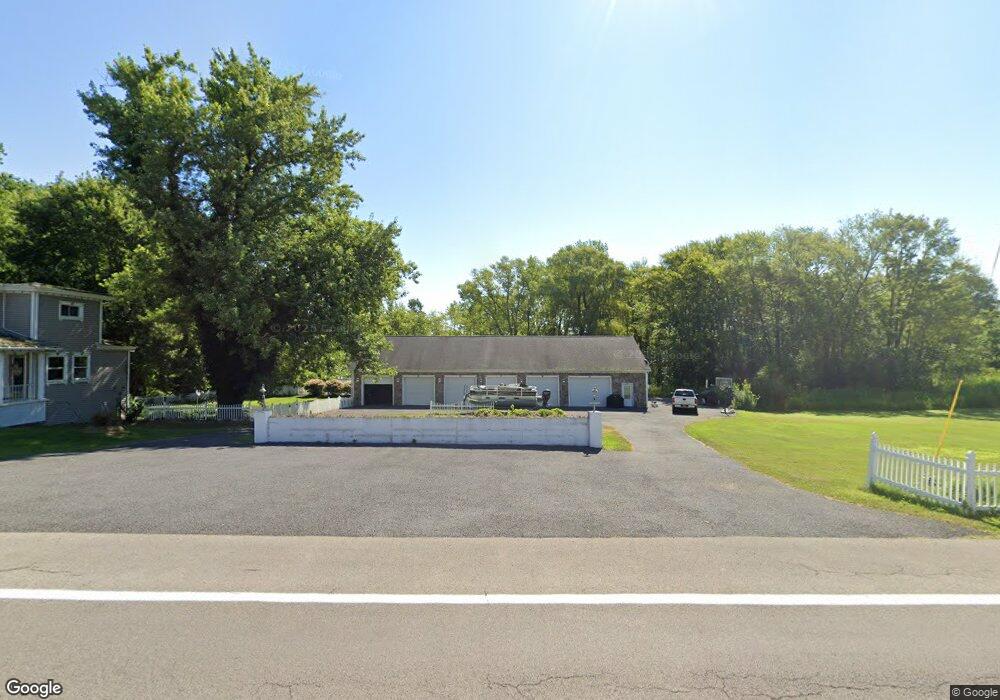
8208 Route 90 Port Byron, NY 13140
Estimated Value: $333,000 - $365,470
4
Beds
2
Baths
2,870
Sq Ft
$121/Sq Ft
Est. Value
About This Home
This home is located at 8208 Route 90, Port Byron, NY 13140 and is currently estimated at $347,868, approximately $121 per square foot. 8208 Route 90 is a home with nearby schools including A.A. Gates Elementary School, Port Byron Senior High School, and Cayuga Mennonite School.
Ownership History
Date
Name
Owned For
Owner Type
Purchase Details
Closed on
Apr 13, 2021
Sold by
Townsend Joanne
Bought by
Nolan Shawn M
Current Estimated Value
Home Financials for this Owner
Home Financials are based on the most recent Mortgage that was taken out on this home.
Original Mortgage
$237,500
Outstanding Balance
$214,434
Interest Rate
3%
Mortgage Type
Purchase Money Mortgage
Estimated Equity
$133,434
Create a Home Valuation Report for This Property
The Home Valuation Report is an in-depth analysis detailing your home's value as well as a comparison with similar homes in the area
Home Values in the Area
Average Home Value in this Area
Purchase History
| Date | Buyer | Sale Price | Title Company |
|---|---|---|---|
| Nolan Shawn M | $250,000 | None Available |
Source: Public Records
Mortgage History
| Date | Status | Borrower | Loan Amount |
|---|---|---|---|
| Open | Nolan Shawn M | $237,500 |
Source: Public Records
Tax History Compared to Growth
Tax History
| Year | Tax Paid | Tax Assessment Tax Assessment Total Assessment is a certain percentage of the fair market value that is determined by local assessors to be the total taxable value of land and additions on the property. | Land | Improvement |
|---|---|---|---|---|
| 2024 | $6,536 | $140,000 | $18,000 | $122,000 |
| 2023 | $6,421 | $140,000 | $18,000 | $122,000 |
| 2022 | $6,345 | $140,000 | $18,000 | $122,000 |
| 2021 | $5,655 | $140,000 | $18,000 | $122,000 |
| 2020 | $5,152 | $140,000 | $18,000 | $122,000 |
| 2019 | $2,327 | $140,000 | $18,000 | $122,000 |
| 2018 | $5,024 | $140,000 | $18,000 | $122,000 |
| 2017 | $4,939 | $140,000 | $18,000 | $122,000 |
| 2016 | $4,802 | $140,000 | $18,000 | $122,000 |
| 2015 | -- | $140,000 | $18,000 | $122,000 |
| 2014 | -- | $140,000 | $18,000 | $122,000 |
Source: Public Records
Map
Nearby Homes
- 8129 High St
- 8089 State Route 90
- 7528 Armbruster Rd
- 13797 Old Rt 31 (Rte 89) E
- 1 Curtis St
- 7410 Rice Rd
- 7078 Fuller Rd
- 11 Canal St
- 5 Canal St
- 13443 Seneca St
- 7023 River Rd
- 134 Main St
- 179 Main St
- 2935 New York 89
- 1568 High St
- 1756 New York Central Rd
- 1607 Grand Ave
- 7959 State Street Rd
- 6794 Fosterville Rd
- 1274 Haiti Rd
- 8211 State Route 90
- 8213 State Route 90
- 8199 State Route 90
- 8213 State Route 90
- 8231 State Route 90
- 8239 State Route 90
- 536 State Route 31
- 567 State Route 31
- 543 State Route 31
- 8158 High St
- 530 State Route 31
- 8176 High St
- 8248 W Loop Rd
- 8162 State Route 90
- 8176 High St
- 8200 High St
- 8156 High St
- 8152 High St
- 1007 McDonald Rd
- 8252 W Loop Rd