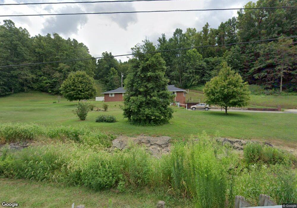
8208 State Route 243 South Point, OH 45680
Estimated Value: $189,000 - $354,000
4
Beds
2
Baths
2,128
Sq Ft
$121/Sq Ft
Est. Value
About This Home
This home is located at 8208 State Route 243, South Point, OH 45680 and is currently estimated at $256,543, approximately $120 per square foot. 8208 State Route 243 is a home located in Lawrence County with nearby schools including Dawson-Bryant Elementary School, Dawson-Bryant Middle School, and Dawson-Bryant High School.
Ownership History
Date
Name
Owned For
Owner Type
Purchase Details
Closed on
Sep 10, 2021
Sold by
Ray Billy G and Ray Vangie
Bought by
Keeney Sherry L and Keeney Jerry D
Current Estimated Value
Home Financials for this Owner
Home Financials are based on the most recent Mortgage that was taken out on this home.
Original Mortgage
$221,825
Outstanding Balance
$201,543
Interest Rate
2.7%
Mortgage Type
New Conventional
Estimated Equity
$55,000
Purchase Details
Closed on
Jan 29, 1999
Sold by
Ray Billy G and Ray Vangie
Bought by
Ray Billy G and Ray Vangie
Purchase Details
Closed on
Jul 9, 1996
Sold by
Ray Billy G and Ray Vangie
Bought by
Ray Billy G and Ray Vangie
Create a Home Valuation Report for This Property
The Home Valuation Report is an in-depth analysis detailing your home's value as well as a comparison with similar homes in the area
Home Values in the Area
Average Home Value in this Area
Purchase History
| Date | Buyer | Sale Price | Title Company |
|---|---|---|---|
| Keeney Sherry L | $233,500 | Bestitle Agency Inc | |
| Ray Billy G | -- | -- | |
| Ray Billy G | -- | -- |
Source: Public Records
Mortgage History
| Date | Status | Borrower | Loan Amount |
|---|---|---|---|
| Open | Keeney Sherry L | $221,825 |
Source: Public Records
Tax History Compared to Growth
Tax History
| Year | Tax Paid | Tax Assessment Tax Assessment Total Assessment is a certain percentage of the fair market value that is determined by local assessors to be the total taxable value of land and additions on the property. | Land | Improvement |
|---|---|---|---|---|
| 2024 | -- | $72,990 | $7,130 | $65,860 |
| 2023 | $2,059 | $72,990 | $7,130 | $65,860 |
| 2022 | $2,056 | $72,990 | $7,130 | $65,860 |
| 2021 | $1,569 | $53,290 | $8,720 | $44,570 |
| 2020 | $1,585 | $53,290 | $8,720 | $44,570 |
| 2019 | $1,294 | $53,290 | $8,720 | $44,570 |
| 2018 | $1,280 | $52,250 | $8,550 | $43,700 |
| 2017 | $1,277 | $52,250 | $8,550 | $43,700 |
| 2016 | $1,182 | $52,250 | $8,550 | $43,700 |
| 2015 | $1,286 | $54,340 | $8,650 | $45,690 |
| 2014 | $1,269 | $54,340 | $8,650 | $45,690 |
| 2013 | $1,267 | $54,340 | $8,650 | $45,690 |
Source: Public Records
Map
Nearby Homes
- 9040 Ohio 243
- 6881 State Route 243
- 1122 Township Road 266
- 1122 Township Road 266
- 66 County Road 30
- 4404 County Road 15
- 66 Township Road 1523
- 3493 County Road 31
- 25 Township Road 1524
- 3569 County Road 6
- 3171 County Road 31
- 6757 County Road 15
- 1225 County Road 15
- 48 Private Drive 1179
- 859 County Road 53
- 885 County Road 53
- 6897 County Road 15
- 119 County Road 15
- 719 County Road 15
- 00 Township Road 219 N
- 8256 State Route 243
- 8191 State Route 243
- 253 Ohio 243 Unit 1357
- 8114 State Route 243
- 8098 State Route 243
- 8208 Ohio 243
- 8394 State Route 243
- 651 Township Road 250
- 8416 State Route 243
- 8427 State Route 243
- 771 Township Road 250
- 771 Township Road 250 Unit JO-42
- 771 Township Road 250 Unit JO-1
- 7976 State Route 243
- 8493 State Route 243
- 1064 Township Road 250
- 908 Township Road 250
- 547 Township Road 250
- 7863 State Route 243
- 8559 State Route 243