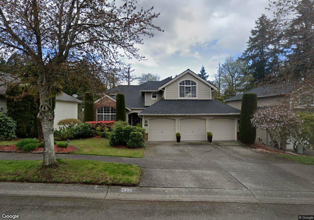
821 191st St SW Lynnwood, WA 98036
Queensborough-Brentwood NeighborhoodEstimated Value: $1,189,000 - $1,264,000
4
Beds
4
Baths
2,544
Sq Ft
$483/Sq Ft
Est. Value
About This Home
This home is located at 821 191st St SW, Lynnwood, WA 98036 and is currently estimated at $1,227,781, approximately $482 per square foot. 821 191st St SW is a home located in Snohomish County with nearby schools including Hilltop Elementary School, Alderwood Middle School, and Lynnwood High School.
Ownership History
Date
Name
Owned For
Owner Type
Purchase Details
Closed on
Apr 24, 2003
Sold by
Malcolm Robert and Malcolm Karen R
Bought by
Mellen W David and Mellen Chizuko
Current Estimated Value
Home Financials for this Owner
Home Financials are based on the most recent Mortgage that was taken out on this home.
Original Mortgage
$318,700
Outstanding Balance
$136,610
Interest Rate
5.72%
Mortgage Type
Purchase Money Mortgage
Estimated Equity
$1,091,171
Purchase Details
Closed on
Apr 30, 2002
Sold by
Malcolm Robert W
Bought by
Malcolm Karen R
Home Financials for this Owner
Home Financials are based on the most recent Mortgage that was taken out on this home.
Original Mortgage
$352,800
Interest Rate
7.13%
Purchase Details
Closed on
Aug 6, 1998
Sold by
Camwest Development Inc
Bought by
Malcolm Robert W and Malcolm Karen R
Home Financials for this Owner
Home Financials are based on the most recent Mortgage that was taken out on this home.
Original Mortgage
$266,600
Interest Rate
6.93%
Create a Home Valuation Report for This Property
The Home Valuation Report is an in-depth analysis detailing your home's value as well as a comparison with similar homes in the area
Home Values in the Area
Average Home Value in this Area
Purchase History
| Date | Buyer | Sale Price | Title Company |
|---|---|---|---|
| Mellen W David | $424,950 | First American Title Ins Co | |
| Malcolm Karen R | -- | -- | |
| Malcolm Robert W | $333,324 | -- |
Source: Public Records
Mortgage History
| Date | Status | Borrower | Loan Amount |
|---|---|---|---|
| Open | Mellen W David | $318,700 | |
| Previous Owner | Malcolm Karen R | $352,800 | |
| Previous Owner | Malcolm Robert W | $266,600 | |
| Closed | Mellen W David | $25,000 |
Source: Public Records
Tax History Compared to Growth
Tax History
| Year | Tax Paid | Tax Assessment Tax Assessment Total Assessment is a certain percentage of the fair market value that is determined by local assessors to be the total taxable value of land and additions on the property. | Land | Improvement |
|---|---|---|---|---|
| 2025 | $8,316 | $1,046,200 | $593,300 | $452,900 |
| 2024 | $8,316 | $1,008,900 | $572,300 | $436,600 |
| 2023 | $9,053 | $1,149,900 | $645,000 | $504,900 |
| 2022 | $7,905 | $815,900 | $387,000 | $428,900 |
| 2020 | $7,398 | $673,800 | $306,000 | $367,800 |
| 2019 | $6,818 | $617,800 | $255,000 | $362,800 |
| 2018 | $6,933 | $553,800 | $225,000 | $328,800 |
| 2017 | $5,891 | $486,900 | $180,000 | $306,900 |
| 2016 | $5,528 | $458,600 | $165,000 | $293,600 |
| 2015 | $5,214 | $410,600 | $145,000 | $265,600 |
| 2013 | $4,895 | $366,500 | $123,000 | $243,500 |
Source: Public Records
Map
Nearby Homes
- 625 191st St SW
- 18901 12th Place W Unit H2
- 19225 Damson Rd Unit C-2
- 19403 7th Ave W Unit C1
- 904 187th Place SW
- 929 187th Place SW
- 19505 Damson Rd Unit A4
- 19505 Damson Rd Unit A3
- 19505 Damson Rd Unit A1
- 19505 Damson Rd Unit C2
- 19505 Damson Rd Unit C1
- 19505 Damson Rd Unit C3
- 18722 3rd Ave W
- 18705 3rd Ave W
- 319 196th Place SW Unit 102
- 18619 Butternut Rd
- 19727 Locust Way
- 123 194th Place SW
- 19312 1st Ave W Unit 4
- 19812 13th Place W
- 829 191st St SW
- 815 191st St SW
- 809 191st St SW
- 903 191st St SW
- 820 191st St SW
- 824 191st St SW
- 801 191st St SW
- 805 191st Place SW
- 832 191st St SW
- 805 191st Place SW
- 900 191st St SW
- 808 191st Place SW
- 915 191st St SW
- 731 191st Place SW
- 904 191st St SW
- 804 191st Place SW
- 823 Bing Rd
- 726 191st St SW
- 910 191st St SW
- 723 191st St SW