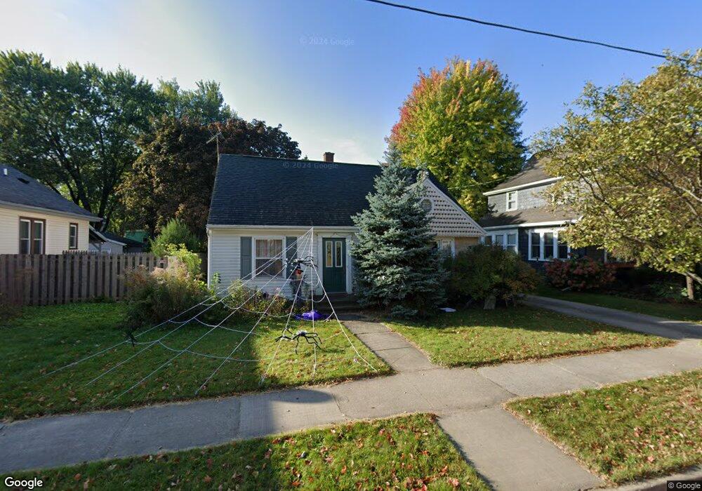
821 E Atlantic St Appleton, WI 54911
Lawrence-City Park NeighborhoodEstimated Value: $256,000 - $272,000
4
Beds
2
Baths
1,904
Sq Ft
$138/Sq Ft
Est. Value
About This Home
This home is located at 821 E Atlantic St, Appleton, WI 54911 and is currently estimated at $262,928, approximately $138 per square foot. 821 E Atlantic St is a home located in Outagamie County with nearby schools including Edison Elementary School, Appleton North High School, and Appleton Bilingual School.
Ownership History
Date
Name
Owned For
Owner Type
Purchase Details
Closed on
Feb 28, 2006
Sold by
Dempsey Kevin M and Dempsey Mary Jo
Bought by
Wilson Zachariah J
Current Estimated Value
Create a Home Valuation Report for This Property
The Home Valuation Report is an in-depth analysis detailing your home's value as well as a comparison with similar homes in the area
Home Values in the Area
Average Home Value in this Area
Purchase History
| Date | Buyer | Sale Price | Title Company |
|---|---|---|---|
| Wilson Zachariah J | $117,900 | -- |
Source: Public Records
Tax History
| Year | Tax Paid | Tax Assessment Tax Assessment Total Assessment is a certain percentage of the fair market value that is determined by local assessors to be the total taxable value of land and additions on the property. | Land | Improvement |
|---|---|---|---|---|
| 2023 | $3,068 | $205,900 | $23,100 | $182,800 |
| 2022 | $3,003 | $149,100 | $19,500 | $129,600 |
| 2021 | $2,861 | $149,100 | $19,500 | $129,600 |
| 2020 | $2,864 | $149,100 | $19,500 | $129,600 |
| 2019 | $2,772 | $149,100 | $19,500 | $129,600 |
| 2018 | $2,481 | $117,500 | $17,900 | $99,600 |
| 2017 | $2,476 | $117,500 | $17,900 | $99,600 |
| 2016 | $2,429 | $117,500 | $17,900 | $99,600 |
| 2015 | $2,472 | $117,500 | $17,900 | $99,600 |
| 2014 | $2,449 | $117,500 | $17,900 | $99,600 |
| 2013 | $2,456 | $117,500 | $17,900 | $99,600 |
Source: Public Records
Map
Nearby Homes
- 827 E Washington St
- 526 N Ida St
- 425 E Summer St
- 431 E Summer St
- 324 E Commercial St
- 1426 N Meade St
- 221 E Winnebago St
- 1430 N Graceland Ave
- 835 E John St
- 507 E Roosevelt St
- 311 S Walter Ave
- 120 S Telulah Ave
- 501 W Winnebago St
- 913 N Harriman St
- 1525 N Clark St
- 1815 N Ullman St
- 1314 N Harriman St
- 1223 N Harriman St
- 1809 N Charlotte St
- 518 S Telulah Ave
- 835 E Atlantic St
- 839 E Atlantic St
- 825 E Atlantic St
- 829 E Atlantic St
- 844 E Atlantic St
- 824 E Atlantic St
- 818 E Atlantic St
- 807 E Atlantic St
- 812 E Pacific St
- 840 E Atlantic St
- 841 E Pacific St
- 844 E Pacific St
- 840 E Pacific St
- 834 E Pacific St
- 834 E Atlantic St
- 812 E Atlantic St
- 808 E Atlantic St
- 815 E Atlantic St
- 830 E Atlantic St
- 620 N Meade St
Your Personal Tour Guide
Ask me questions while you tour the home.