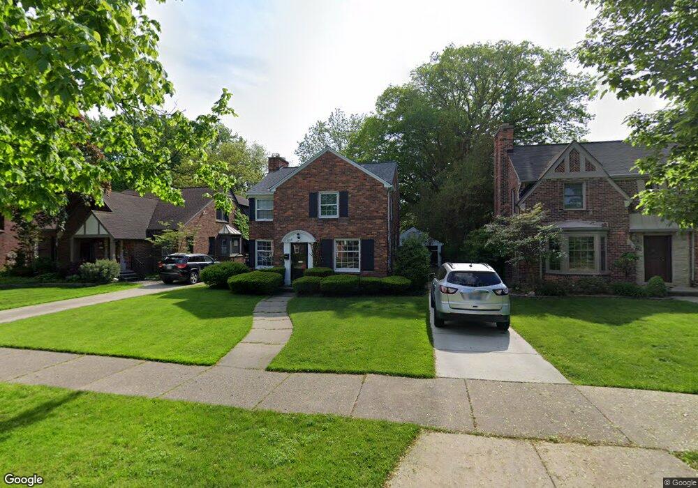
821 Fisher Rd Grosse Pointe, MI 48230
Estimated Value: $381,618 - $475,000
3
Beds
2
Baths
1,772
Sq Ft
$242/Sq Ft
Est. Value
About This Home
This home is located at 821 Fisher Rd, Grosse Pointe, MI 48230 and is currently estimated at $428,405, approximately $241 per square foot. 821 Fisher Rd is a home located in Wayne County with nearby schools including Richard Elementary School, Brownell Middle School, and Grosse Pointe South High School.
Ownership History
Date
Name
Owned For
Owner Type
Purchase Details
Closed on
Mar 5, 2013
Sold by
Faulkner Margaret M
Bought by
Faulkner Margaret M and Faulkner Revocable Living Trus
Current Estimated Value
Purchase Details
Closed on
Oct 14, 2011
Sold by
Steele F Joseph and Steele Kathleen C
Bought by
Faulkner Margaret M
Home Financials for this Owner
Home Financials are based on the most recent Mortgage that was taken out on this home.
Original Mortgage
$129,280
Outstanding Balance
$51,417
Interest Rate
4.25%
Mortgage Type
FHA
Estimated Equity
$376,988
Create a Home Valuation Report for This Property
The Home Valuation Report is an in-depth analysis detailing your home's value as well as a comparison with similar homes in the area
Home Values in the Area
Average Home Value in this Area
Purchase History
| Date | Buyer | Sale Price | Title Company |
|---|---|---|---|
| Faulkner Margaret M | -- | None Available | |
| Faulkner Margaret M | $160,000 | Greco Title Agency Llc |
Source: Public Records
Mortgage History
| Date | Status | Borrower | Loan Amount |
|---|---|---|---|
| Open | Faulkner Margaret M | $129,280 |
Source: Public Records
Tax History Compared to Growth
Tax History
| Year | Tax Paid | Tax Assessment Tax Assessment Total Assessment is a certain percentage of the fair market value that is determined by local assessors to be the total taxable value of land and additions on the property. | Land | Improvement |
|---|---|---|---|---|
| 2025 | $3,920 | $178,200 | $0 | $0 |
| 2024 | $3,920 | $170,300 | $0 | $0 |
| 2023 | $3,738 | $156,700 | $0 | $0 |
| 2022 | $5,410 | $140,500 | $0 | $0 |
| 2021 | $5,130 | $134,300 | $0 | $0 |
| 2019 | $5,328 | $127,000 | $0 | $0 |
| 2018 | $3,244 | $125,100 | $0 | $0 |
| 2017 | $3,425 | $123,600 | $0 | $0 |
| 2016 | $4,883 | $120,900 | $0 | $0 |
| 2015 | $9,260 | $103,500 | $0 | $0 |
| 2013 | $9,390 | $93,900 | $0 | $0 |
| 2012 | -- | $87,600 | $0 | $0 |
Source: Public Records
Map
Nearby Homes
- 827 Fisher Rd
- 352 Mckinley Ave
- 341 Mcmillan Rd
- 876 Washington Rd
- 276 Lewiston Rd
- 745 Lincoln Rd
- 380 Merriweather Rd
- 343 Mount Vernon Ave
- 317 Mount Vernon Ave
- 869 Rivard Blvd
- 314 Mount Vernon Ave
- 302 Mount Vernon Ave
- 872 University Place
- 975 Fisher Rd
- 240 Mckinley Ave
- 683 Lincoln Rd
- 194 Charlevoix Ave
- 233 Mcmillan Rd
- 415 Lothrop Rd
- 259 Mount Vernon Ave