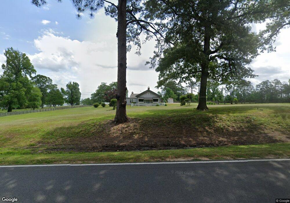
821 Highway 464 Leesville, LA 71446
Estimated Value: $222,000 - $374,634
4
Beds
2
Baths
2,830
Sq Ft
$103/Sq Ft
Est. Value
About This Home
This home is located at 821 Highway 464, Leesville, LA 71446 and is currently estimated at $291,159, approximately $102 per square foot. 821 Highway 464 is a home located in Vernon Parish.
Ownership History
Date
Name
Owned For
Owner Type
Purchase Details
Closed on
May 13, 2009
Sold by
Scoggins Linda Elizabeth May
Bought by
Bennett Randall Todd and Bennett Patricia Ann Barrington
Current Estimated Value
Home Financials for this Owner
Home Financials are based on the most recent Mortgage that was taken out on this home.
Original Mortgage
$288,000
Outstanding Balance
$181,081
Interest Rate
4.76%
Mortgage Type
Purchase Money Mortgage
Estimated Equity
$110,078
Create a Home Valuation Report for This Property
The Home Valuation Report is an in-depth analysis detailing your home's value as well as a comparison with similar homes in the area
Home Values in the Area
Average Home Value in this Area
Purchase History
| Date | Buyer | Sale Price | Title Company |
|---|---|---|---|
| Bennett Randall Todd | $288,000 | -- |
Source: Public Records
Mortgage History
| Date | Status | Borrower | Loan Amount |
|---|---|---|---|
| Open | Bennett Randall Todd | $288,000 |
Source: Public Records
Tax History Compared to Growth
Tax History
| Year | Tax Paid | Tax Assessment Tax Assessment Total Assessment is a certain percentage of the fair market value that is determined by local assessors to be the total taxable value of land and additions on the property. | Land | Improvement |
|---|---|---|---|---|
| 2024 | $3,279 | $27,160 | $1,150 | $26,010 |
| 2023 | $3,310 | $26,740 | $670 | $26,070 |
| 2022 | $2,941 | $26,740 | $670 | $26,070 |
| 2021 | $3,407 | $24,550 | $850 | $23,700 |
| 2020 | $3,503 | $22,850 | $850 | $22,000 |
| 2019 | $3,084 | $22,820 | $820 | $22,000 |
| 2018 | $3,300 | $22,820 | $820 | $22,000 |
| 2017 | $3,034 | $22,820 | $820 | $22,000 |
| 2015 | $3,118 | $22,530 | $530 | $22,000 |
| 2014 | $2,899 | $22,530 | $530 | $22,000 |
| 2013 | $3,388 | $22,530 | $530 | $22,000 |
Source: Public Records
Map
Nearby Homes
- 0 Tbd Hwy 8 & 464 Unit 29-1650
- 0 Hwy 8 & 464 Hwy Unit SWL22004749
- 0 Lot 7 Woodland Park Phase III Unit 29-1652
- 281 Methodist Landing Rd
- 149 Methodist Landing Rd
- 4450 Camp Baker Rd
- 0 Nichols Rd
- 0 Woods Rd Unit RD
- 588 Hickory Ridge Rd
- 590 Hickory Ridge Rd
- 1976 Savage Forks Rd
- 162 Cryer Rd
- 728 Section Line Rd
- 0 Tbd B and G Loop Unit 29-2182
- TBD B and G Loop
- 0 Savage Forks Rd
- 0 Tbd Savage Forks Rd
- 1109 Nicholas Dr
- 708 Woodland Dr
- 710 Woodland Dr
- 1192 Highway 464
- 531 Garrett Jeane Rd
- 155 Fords Landing Rd
- 155 Fords Landing Rd Unit Road
- 139 H Roberts Rd
- 171 Fords Landing Rd
- 188 J M Q Loop
- 194 J M Q Loop
- 501 John Jeane Rd
- 501 John Jeane Rd
- 210 J M Q Loop
- 268 J M Q Loop
- 220 H Roberts Rd
- 587 Highway 464
- 177 Anacoco Lake Rd
- 226 John Jeane Rd
- 149 Cole Rd
- 447 Highway 464
- 256 John Jeane Rd
- 160 Cole Rd