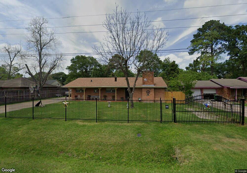
821 Innsdale Dr Houston, TX 77076
Northside-Northline NeighborhoodEstimated Value: $266,687 - $321,000
4
Beds
3
Baths
2,373
Sq Ft
$122/Sq Ft
Est. Value
About This Home
This home is located at 821 Innsdale Dr, Houston, TX 77076 and is currently estimated at $288,422, approximately $121 per square foot. 821 Innsdale Dr is a home located in Harris County with nearby schools including Lyons Elementary School, Burbank Middle School, and Sam Houston Math, Science & Technology Center.
Ownership History
Date
Name
Owned For
Owner Type
Purchase Details
Closed on
Nov 10, 1995
Sold by
Kaiser Lee Roy and Kaiser Beatrice A
Bought by
Rodriguez Rolando S
Current Estimated Value
Home Financials for this Owner
Home Financials are based on the most recent Mortgage that was taken out on this home.
Original Mortgage
$61,750
Outstanding Balance
$867
Interest Rate
7.64%
Estimated Equity
$287,555
Create a Home Valuation Report for This Property
The Home Valuation Report is an in-depth analysis detailing your home's value as well as a comparison with similar homes in the area
Home Values in the Area
Average Home Value in this Area
Purchase History
| Date | Buyer | Sale Price | Title Company |
|---|---|---|---|
| Rodriguez Rolando S | -- | Texas American Title Company |
Source: Public Records
Mortgage History
| Date | Status | Borrower | Loan Amount |
|---|---|---|---|
| Open | Rodriguez Rolando S | $61,750 |
Source: Public Records
Tax History Compared to Growth
Tax History
| Year | Tax Paid | Tax Assessment Tax Assessment Total Assessment is a certain percentage of the fair market value that is determined by local assessors to be the total taxable value of land and additions on the property. | Land | Improvement |
|---|---|---|---|---|
| 2025 | $2,639 | $313,726 | $80,127 | $233,599 |
| 2024 | $2,639 | $323,788 | $80,127 | $243,661 |
| 2023 | $2,639 | $323,788 | $80,127 | $243,661 |
| 2022 | $3,806 | $272,234 | $42,289 | $229,945 |
| 2021 | $3,663 | $197,155 | $42,289 | $154,866 |
| 2020 | $3,460 | $169,236 | $42,289 | $126,947 |
| 2019 | $3,287 | $169,236 | $42,289 | $126,947 |
| 2018 | $2,100 | $118,075 | $37,838 | $80,237 |
| 2017 | $2,986 | $118,075 | $37,838 | $80,237 |
| 2016 | $2,986 | $118,075 | $37,838 | $80,237 |
| 2015 | $1,866 | $109,095 | $26,709 | $82,386 |
| 2014 | $1,866 | $109,095 | $26,709 | $82,386 |
Source: Public Records
Map
Nearby Homes
- 415 Briarcliff Dr
- 1105 Soren Ln
- 283 Turner Dr
- 9650 E Hardy Rd
- 219 Heaney Dr
- 9907 Dipping Brook St
- 9905 Dipping Brook St
- 702 Pennington St
- 9920 Dipping Woods St
- 9916 Dipping Woods St
- 207 Dipping Stream St
- 9913 Dipping Woods St
- 9925 Dipping Woods St
- 9909 Dipping Woods St
- 202 Burbank St
- 9902 Clark Rd Unit D
- 9902 Clark Rd Unit I
- 9902 Clark Rd Unit G
- 318 Charlock St
- 9026 Mcgallion Rd
- 825 Innsdale Dr
- 802 Turner Dr
- 815 Innsdale Dr
- 712 Turner Dr
- 806 Turner Dr
- 817 Innsdale Dr
- 822 Innsdale Dr
- 710 Turner Dr
- 810 Turner Dr
- 826 Innsdale Dr
- 818 Innsdale Dr
- 719 Innsdale Dr
- 902 Innsdale Dr
- 814 Innsdale Dr
- 905 Innsdale Dr
- 706 Turner Dr
- 706 Turner Dr Unit 1
- 706 Turner Dr Unit 3
- 814 Turner Dr
- 906 Innsdale Dr