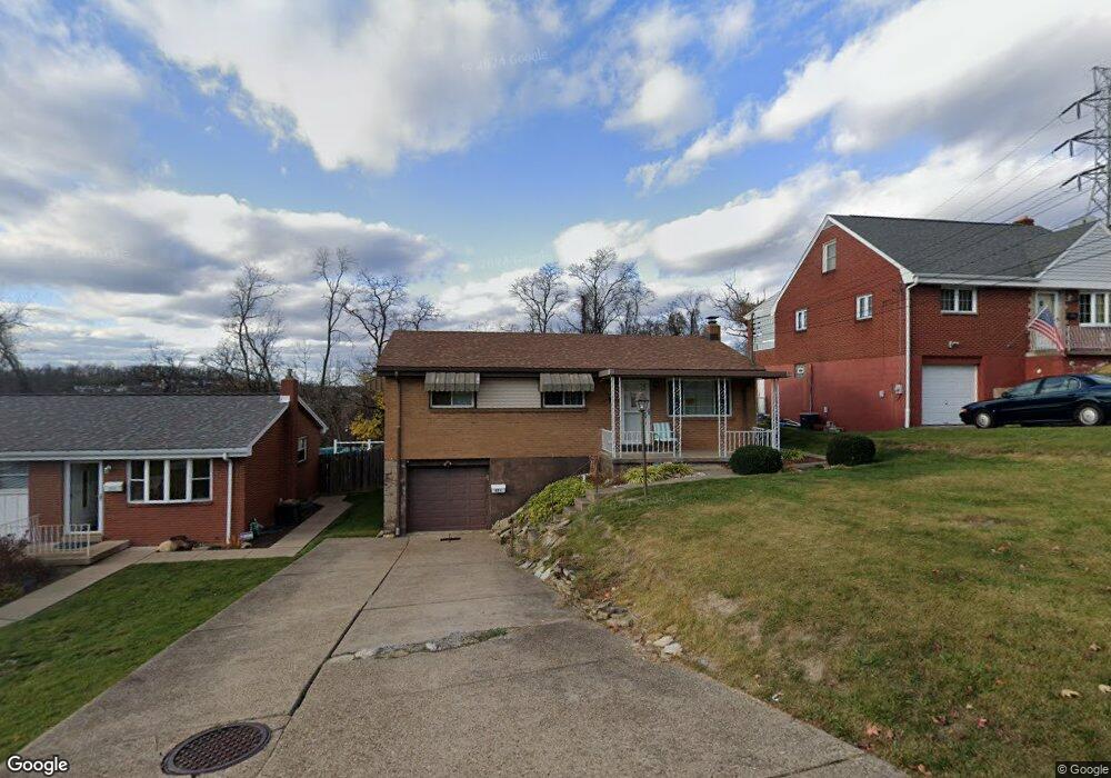
821 Joyce Dr West Mifflin, PA 15122
Estimated Value: $171,000 - $194,000
3
Beds
2
Baths
988
Sq Ft
$183/Sq Ft
Est. Value
About This Home
This home is located at 821 Joyce Dr, West Mifflin, PA 15122 and is currently estimated at $180,526, approximately $182 per square foot. 821 Joyce Dr is a home located in Allegheny County with nearby schools including West Mifflin Area High School, Walnut Grove Christian School, and St. Therese School.
Ownership History
Date
Name
Owned For
Owner Type
Purchase Details
Closed on
Jul 6, 2023
Sold by
Bost John
Bought by
John R Bost Testamentary Trust
Current Estimated Value
Purchase Details
Closed on
Oct 27, 2002
Sold by
Hud
Bought by
Bost John
Purchase Details
Closed on
Jul 10, 2002
Sold by
Principal Residential Mtg Inc
Bought by
Hud
Purchase Details
Closed on
Jun 20, 2002
Sold by
Provident Carol
Bought by
Principal Residential Mtg Inc
Purchase Details
Closed on
Aug 1, 1997
Sold by
Best Wilma M
Bought by
Provident Carole and Provident Patrick T
Create a Home Valuation Report for This Property
The Home Valuation Report is an in-depth analysis detailing your home's value as well as a comparison with similar homes in the area
Home Values in the Area
Average Home Value in this Area
Purchase History
| Date | Buyer | Sale Price | Title Company |
|---|---|---|---|
| John R Bost Testamentary Trust | -- | -- | |
| Bost John | $56,000 | -- | |
| Hud | -- | -- | |
| Principal Residential Mtg Inc | $10,000 | -- | |
| Provident Carole | $72,500 | -- | |
| Bost John R Trust | -- | -- | |
| Bost John R Trust | -- | -- |
Source: Public Records
Tax History Compared to Growth
Tax History
| Year | Tax Paid | Tax Assessment Tax Assessment Total Assessment is a certain percentage of the fair market value that is determined by local assessors to be the total taxable value of land and additions on the property. | Land | Improvement |
|---|---|---|---|---|
| 2025 | $3,056 | $57,100 | $18,100 | $39,000 |
| 2024 | $3,056 | $57,100 | $18,100 | $39,000 |
| 2023 | $3,015 | $57,100 | $18,100 | $39,000 |
| 2022 | $2,925 | $57,100 | $18,100 | $39,000 |
| 2021 | $189 | $57,100 | $18,100 | $39,000 |
| 2020 | $2,814 | $57,100 | $18,100 | $39,000 |
| 2019 | $2,777 | $57,100 | $18,100 | $39,000 |
| 2018 | $189 | $57,100 | $18,100 | $39,000 |
| 2017 | $2,119 | $57,100 | $18,100 | $39,000 |
| 2016 | $270 | $57,100 | $18,100 | $39,000 |
| 2015 | $270 | $57,100 | $18,100 | $39,000 |
| 2014 | $2,100 | $57,100 | $18,100 | $39,000 |
Source: Public Records
Map
Nearby Homes
- 723 Elwell Ave
- LOT 1 Muldowney Ave
- LOT 2 Muldowney Ave
- 5644 Ollie St
- 108 Mifflin Hills Dr
- 1120 Margray St
- 1204 Mifflin Rd
- 5147 Glenhurst Rd
- 1141 Stock St
- 1169 Leaside Dr
- 1222 Rodgers St
- 1400 Muldowney Ave
- 4839 Lougean Ave
- 5719 Keefe St
- 5838 Rodgers St
- 4779 Little St
- 5322 Fredanna St
- 5920 Rodgers St
- 792 Beechland St
- 5719 Halchess St