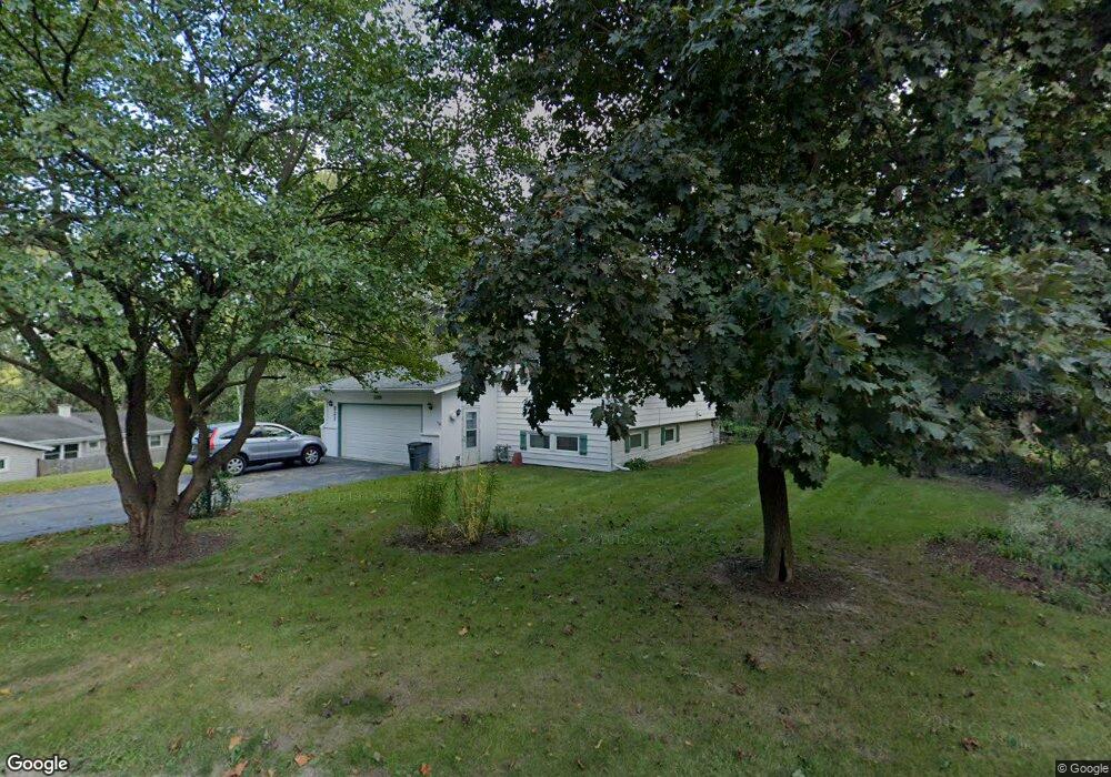
821 Locust Dr Sleepy Hollow, IL 60118
Estimated Value: $358,252 - $400,000
3
Beds
--
Bath
1,772
Sq Ft
$215/Sq Ft
Est. Value
About This Home
This home is located at 821 Locust Dr, Sleepy Hollow, IL 60118 and is currently estimated at $381,563, approximately $215 per square foot. 821 Locust Dr is a home located in Kane County with nearby schools including Sleepy Hollow Elementary School, Dundee Middle School, and Dundee-Crown High School.
Ownership History
Date
Name
Owned For
Owner Type
Purchase Details
Closed on
Mar 26, 2024
Sold by
Vernon Peter M and Vernon Deborah E
Bought by
Peter M Vernon Revocable Trust and Deborah E Vernon Revocable Trust
Current Estimated Value
Purchase Details
Closed on
Jul 15, 2002
Sold by
Rasmussen Phylliss C
Bought by
Vernon Peter M and Vernon Deborah E
Home Financials for this Owner
Home Financials are based on the most recent Mortgage that was taken out on this home.
Original Mortgage
$179,120
Interest Rate
6.7%
Create a Home Valuation Report for This Property
The Home Valuation Report is an in-depth analysis detailing your home's value as well as a comparison with similar homes in the area
Home Values in the Area
Average Home Value in this Area
Purchase History
| Date | Buyer | Sale Price | Title Company |
|---|---|---|---|
| Peter M Vernon Revocable Trust | -- | First American Title Insurance | |
| Peter M Vernon Revocable Trust | -- | First American Title Insurance | |
| Vernon Peter M | $224,000 | First American Title Co |
Source: Public Records
Mortgage History
| Date | Status | Borrower | Loan Amount |
|---|---|---|---|
| Previous Owner | Vernon Peter M | $179,120 |
Source: Public Records
Tax History Compared to Growth
Tax History
| Year | Tax Paid | Tax Assessment Tax Assessment Total Assessment is a certain percentage of the fair market value that is determined by local assessors to be the total taxable value of land and additions on the property. | Land | Improvement |
|---|---|---|---|---|
| 2024 | $6,012 | $96,128 | $29,156 | $66,972 |
| 2023 | $6,297 | $86,493 | $26,234 | $60,259 |
| 2022 | $6,312 | $82,966 | $26,234 | $56,732 |
| 2021 | $6,109 | $78,336 | $24,770 | $53,566 |
| 2020 | $5,995 | $76,575 | $24,213 | $52,362 |
| 2019 | $6,198 | $77,016 | $22,986 | $54,030 |
| 2018 | $6,937 | $82,810 | $22,531 | $60,279 |
| 2017 | $6,655 | $77,465 | $21,077 | $56,388 |
| 2016 | $6,583 | $72,661 | $22,569 | $50,092 |
| 2015 | -- | $68,086 | $21,148 | $46,938 |
| 2014 | -- | $66,206 | $20,564 | $45,642 |
| 2013 | -- | $68,232 | $21,193 | $47,039 |
Source: Public Records
Map
Nearby Homes
- 849 Hemlock Dr
- 1042 Chateau Bluff Ln
- 900 Holly Ct
- 37 River Ridge Dr
- 842 Winmoor Dr
- 1214 Carol Crest Dr
- 937 Willow Ln
- 0000 Strom Dr
- 214 S 7th St
- 503 Edinburgh Ln
- 325 Sharon Dr
- 496 Edinburgh Ln
- 215 Sharon Dr
- 516 S 1st St
- 404 Washington St
- 1715 W Main St
- 10 Chateau Dr
- 936 Glen Oak Dr
- Lot 1 View St
- 825 Lindsay Ln