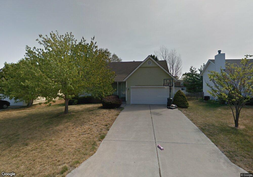
821 NE Aaron Dr Lees Summit, MO 64086
Estimated Value: $342,183 - $379,000
3
Beds
3
Baths
1,867
Sq Ft
$193/Sq Ft
Est. Value
About This Home
This home is located at 821 NE Aaron Dr, Lees Summit, MO 64086 and is currently estimated at $361,046, approximately $193 per square foot. 821 NE Aaron Dr is a home located in Jackson County with nearby schools including Underwood Elementary School, Bernard C. Campbell Middle School, and Lee's Summit North High School.
Ownership History
Date
Name
Owned For
Owner Type
Purchase Details
Closed on
May 30, 2000
Sold by
Thornton Martha J and Thornton Larry
Bought by
Stanley Bryan W and Stanley Cerise L
Current Estimated Value
Home Financials for this Owner
Home Financials are based on the most recent Mortgage that was taken out on this home.
Original Mortgage
$134,900
Outstanding Balance
$46,705
Interest Rate
8.17%
Mortgage Type
Purchase Money Mortgage
Estimated Equity
$314,341
Create a Home Valuation Report for This Property
The Home Valuation Report is an in-depth analysis detailing your home's value as well as a comparison with similar homes in the area
Home Values in the Area
Average Home Value in this Area
Purchase History
| Date | Buyer | Sale Price | Title Company |
|---|---|---|---|
| Stanley Bryan W | -- | Security Land Title Company |
Source: Public Records
Mortgage History
| Date | Status | Borrower | Loan Amount |
|---|---|---|---|
| Open | Stanley Bryan W | $134,900 |
Source: Public Records
Tax History
| Year | Tax Paid | Tax Assessment Tax Assessment Total Assessment is a certain percentage of the fair market value that is determined by local assessors to be the total taxable value of land and additions on the property. | Land | Improvement |
|---|---|---|---|---|
| 2025 | $3,841 | $46,987 | $9,295 | $37,692 |
| 2024 | $4,686 | $53,200 | $7,995 | $45,205 |
| 2023 | $4,686 | $65,378 | $6,962 | $58,416 |
| 2022 | $2,868 | $35,530 | $6,441 | $29,089 |
| 2021 | $2,928 | $35,530 | $6,441 | $29,089 |
| 2020 | $2,767 | $33,250 | $6,441 | $26,809 |
| 2019 | $3,109 | $38,415 | $6,441 | $31,974 |
| 2018 | $2,878 | $33,004 | $3,810 | $29,194 |
| 2017 | $2,878 | $33,004 | $3,810 | $29,194 |
| 2016 | $2,797 | $31,749 | $4,199 | $27,550 |
Source: Public Records
Map
Nearby Homes
- 1700 NE Bluff St
- 1708 NE Bluff St
- 1704 NE Bluff St
- 1000 NE Brookfield Dr
- 1616 NE Bluff St
- 1029 NE Brookfield Dr
- 1028 NE Brookfield Dr
- 905 NE Country Ln
- 616 NE Michael Dr
- 1108 NE Colleen Dr
- 1013 NE Ravenwood Terrace
- 1030 NE Todd George Rd
- 617 NE Birchwood Dr
- 1501 NE Misty Ln
- 608 NE Birchwood Dr
- 1104 NE Country Ln
- 1611 NE Duchess Dr
- 1901 NE Mckee Ln
- 1916 NE Gatewood Dr
- 802 NE Banner Dr
- 817 NE Aaron Dr
- 825 NE Aaron Dr
- 820 NE Aaron Dr
- 813 NE Aaron Dr
- 816 NE Aaron Dr
- 824 NE Aaron Dr
- 820 Aaron Dr
- 829 NE Aaron Dr
- 812 NE Aaron Dr
- 828 NE Aaron Dr
- 820 NE Colleen Dr
- 816 NE Colleen Dr
- 809 NE Aaron Dr
- 824 NE Colleen Dr
- 828 NE Colleen Dr
- 812 NE Colleen Dr
- 808 NE Aaron Dr
- 832 NE Colleen Dr
- 832 NE Aaron Dr
- 805 NE Aaron Dr
Your Personal Tour Guide
Ask me questions while you tour the home.