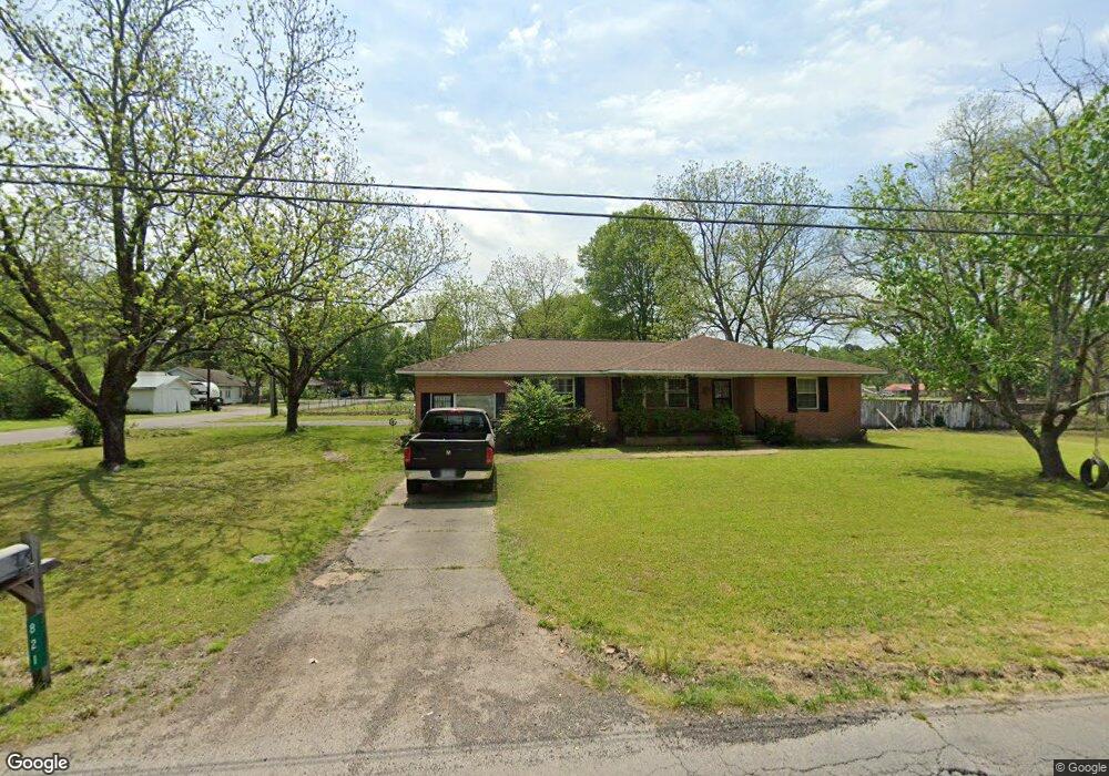
821 North St Kensett, AR 72082
Estimated Value: $130,000 - $162,735
--
Bed
2
Baths
1,752
Sq Ft
$80/Sq Ft
Est. Value
About This Home
This home is located at 821 North St, Kensett, AR 72082 and is currently estimated at $140,184, approximately $80 per square foot. 821 North St is a home located in White County with nearby schools including Kensett Elementary School, Riverview High School, and Liberty Christian School.
Ownership History
Date
Name
Owned For
Owner Type
Purchase Details
Closed on
Apr 13, 2018
Sold by
Shelton James G and Shelton David
Bought by
Sutton Jerrit
Current Estimated Value
Home Financials for this Owner
Home Financials are based on the most recent Mortgage that was taken out on this home.
Original Mortgage
$79,292
Outstanding Balance
$67,687
Interest Rate
4.22%
Mortgage Type
FHA
Estimated Equity
$72,497
Purchase Details
Closed on
Mar 16, 2018
Sold by
Shelton James G and Shelton David
Bought by
Sutton Jerrit
Home Financials for this Owner
Home Financials are based on the most recent Mortgage that was taken out on this home.
Original Mortgage
$79,292
Outstanding Balance
$67,687
Interest Rate
4.22%
Mortgage Type
FHA
Estimated Equity
$72,497
Create a Home Valuation Report for This Property
The Home Valuation Report is an in-depth analysis detailing your home's value as well as a comparison with similar homes in the area
Home Values in the Area
Average Home Value in this Area
Purchase History
| Date | Buyer | Sale Price | Title Company |
|---|---|---|---|
| Sutton Jerrit | -- | Dalco Closing & Title | |
| Sutton Jerrit | $78,500 | Dalco Closing & Title |
Source: Public Records
Mortgage History
| Date | Status | Borrower | Loan Amount |
|---|---|---|---|
| Open | Sutton Jerrit | $79,292 |
Source: Public Records
Tax History Compared to Growth
Tax History
| Year | Tax Paid | Tax Assessment Tax Assessment Total Assessment is a certain percentage of the fair market value that is determined by local assessors to be the total taxable value of land and additions on the property. | Land | Improvement |
|---|---|---|---|---|
| 2025 | $757 | $19,180 | $1,800 | $17,380 |
| 2024 | $679 | $19,180 | $1,800 | $17,380 |
| 2023 | $225 | $19,180 | $1,800 | $17,380 |
| 2022 | $247 | $19,180 | $1,800 | $17,380 |
| 2021 | $219 | $19,180 | $1,800 | $17,380 |
| 2020 | $191 | $13,440 | $1,620 | $11,820 |
| 2019 | $191 | $13,440 | $1,620 | $11,820 |
| 2018 | $216 | $14,440 | $1,620 | $12,820 |
| 2017 | $597 | $14,170 | $1,350 | $12,820 |
| 2016 | $597 | $14,170 | $1,350 | $12,820 |
| 2015 | $634 | $15,050 | $1,380 | $13,670 |
| 2014 | $634 | $15,050 | $1,380 | $13,670 |
Source: Public Records
Map
Nearby Homes
- 710 Central St
- 1115 North St
- 611 W Barnett St
- 714 West St
- 112 E Dandridge St
- 414 Luttrell
- 000 N Maple St
- 185 Sallibar Cove
- 000 E Beebe Capps Expy
- 204 Indian Trail
- 29 Dalewood Dr
- 10 Dalewood Dr
- 125 Choctaw Dr
- 120 Jawanda Ln
- 34 A River Oaks Trace
- 11 River Oaks Trace
- 14 White Oak Cir
- 0 Hwy 167 Unit 23000565
- 0 Hwy 167 Unit 149167
- 000 E Park Ave