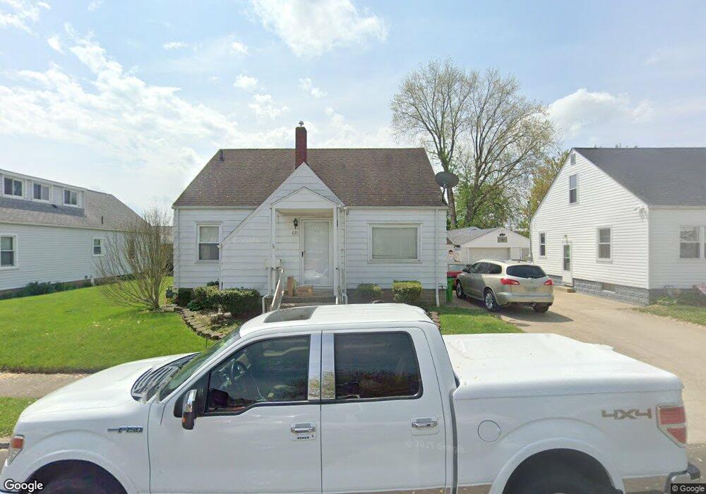
821 Pine St Coshocton, OH 43812
Estimated Value: $119,000 - $165,000
3
Beds
1
Bath
1,248
Sq Ft
$112/Sq Ft
Est. Value
About This Home
This home is located at 821 Pine St, Coshocton, OH 43812 and is currently estimated at $139,857, approximately $112 per square foot. 821 Pine St is a home located in Coshocton County with nearby schools including Coshocton High School and Coshocton Christian School.
Ownership History
Date
Name
Owned For
Owner Type
Purchase Details
Closed on
Feb 27, 2025
Sold by
Mccurdy Family Farms Llc
Bought by
Mccurdy Kevin L and Mccurdy Teresa K
Current Estimated Value
Purchase Details
Closed on
Jul 17, 2015
Sold by
Mccurdy R Jean and Mccurdy Carl J
Bought by
Mccurdy Family Farms Llc
Purchase Details
Closed on
May 15, 2008
Sold by
Ireland James O and Ireland Christina R
Bought by
Mccurdy R Jean and Mccurdy Carl J
Purchase Details
Closed on
May 20, 1996
Sold by
Kobel Sue G
Bought by
Ireland James O
Purchase Details
Closed on
Oct 5, 1994
Sold by
Williams Betty A
Bought by
Kobel Sue G
Create a Home Valuation Report for This Property
The Home Valuation Report is an in-depth analysis detailing your home's value as well as a comparison with similar homes in the area
Home Values in the Area
Average Home Value in this Area
Purchase History
| Date | Buyer | Sale Price | Title Company |
|---|---|---|---|
| Mccurdy Kevin L | -- | None Listed On Document | |
| Mccurdy Family Farms Llc | -- | None Available | |
| Mccurdy R Jean | $72,000 | None Available | |
| Ireland James O | $56,000 | -- | |
| Kobel Sue G | $50,000 | -- |
Source: Public Records
Tax History
| Year | Tax Paid | Tax Assessment Tax Assessment Total Assessment is a certain percentage of the fair market value that is determined by local assessors to be the total taxable value of land and additions on the property. | Land | Improvement |
|---|---|---|---|---|
| 2024 | $1,051 | $24,830 | $3,420 | $21,410 |
| 2023 | $1,051 | $19,555 | $2,629 | $16,926 |
| 2022 | $956 | $19,555 | $2,629 | $16,926 |
| 2021 | $958 | $19,555 | $2,629 | $16,926 |
| 2020 | $846 | $16,706 | $2,674 | $14,032 |
| 2019 | $855 | $16,706 | $2,674 | $14,032 |
| 2018 | $847 | $16,706 | $2,674 | $14,032 |
| 2017 | $865 | $16,409 | $2,496 | $13,913 |
| 2016 | $831 | $16,409 | $2,496 | $13,913 |
| 2015 | $417 | $16,409 | $2,496 | $13,913 |
| 2014 | $873 | $18,473 | $3,325 | $15,148 |
Source: Public Records
Map
Nearby Homes
- 510 S 8th St
- 380 S 10th St
- 433 S 7th St
- Lot# 7, S 12th St
- 597 S 12th St
- 216 S 7th St
- 849 S Lawn Ave
- 731 S 6th St
- 640 Orange St
- 1005 Adams St
- 1015 Orchard St
- 1407 Elm St
- Lot 8 Country Club Dr
- 1215 Denman Ave
- 843 Chestnut St
- Lot# 1, S 12th St
- Lot 7 Country Club Dr
- Lot 2 Country Club Dr
- Lot 1 Country Club Dr
- Lot 5 Country Club Dr
Your Personal Tour Guide
Ask me questions while you tour the home.