Estimated Value: $247,295 - $286,000
3
Beds
2
Baths
1,484
Sq Ft
$179/Sq Ft
Est. Value
About This Home
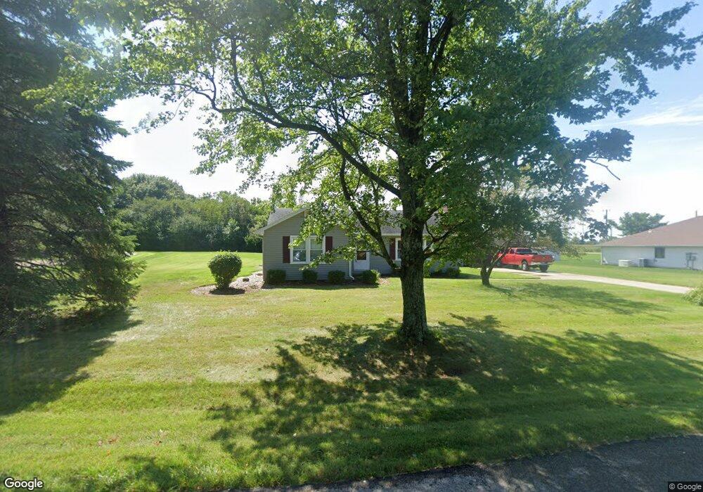
This home is located at 821 Robin Rd, Xenia, OH 45385 and is currently estimated at $266,074, approximately $179 per square foot. 821 Robin Rd is a home located in Greene County with nearby schools including Xenia High School, Summit Academy Community School for Alternative Learners - Xenia, and Legacy Christian Academy.
Ownership History
Date
Name
Owned For
Owner Type
Purchase Details
Closed on
Jan 29, 2014
Sold by
Caudill Pamela S and Caudill Henry E
Bought by
Hartings Victor T
Current Estimated Value
Home Financials for this Owner
Home Financials are based on the most recent Mortgage that was taken out on this home.
Original Mortgage
$121,428
Outstanding Balance
$92,499
Interest Rate
4.55%
Mortgage Type
New Conventional
Estimated Equity
$173,575
Purchase Details
Closed on
Apr 23, 2013
Sold by
Roebuck Jack P
Bought by
Caudill Pamela S
Create a Home Valuation Report for This Property
The Home Valuation Report is an in-depth analysis detailing your home's value as well as a comparison with similar homes in the area
Home Values in the Area
Average Home Value in this Area
Purchase History
| Date | Buyer | Sale Price | Title Company |
|---|---|---|---|
| Hartings Victor T | $119,000 | None Available | |
| Caudill Pamela S | $57,000 | None Available |
Source: Public Records
Mortgage History
| Date | Status | Borrower | Loan Amount |
|---|---|---|---|
| Open | Hartings Victor T | $121,428 |
Source: Public Records
Tax History Compared to Growth
Tax History
| Year | Tax Paid | Tax Assessment Tax Assessment Total Assessment is a certain percentage of the fair market value that is determined by local assessors to be the total taxable value of land and additions on the property. | Land | Improvement |
|---|---|---|---|---|
| 2024 | $2,939 | $61,970 | $14,450 | $47,520 |
| 2023 | $2,939 | $61,970 | $14,450 | $47,520 |
| 2022 | $2,644 | $50,590 | $13,630 | $36,960 |
| 2021 | $2,678 | $50,590 | $13,630 | $36,960 |
| 2020 | $2,571 | $50,590 | $13,630 | $36,960 |
| 2019 | $2,364 | $43,680 | $9,540 | $34,140 |
| 2018 | $2,373 | $43,680 | $9,540 | $34,140 |
| 2017 | $1,814 | $43,680 | $9,540 | $34,140 |
| 2016 | $1,814 | $32,850 | $9,540 | $23,310 |
| 2015 | $1,819 | $32,850 | $9,540 | $23,310 |
| 2014 | $1,795 | $32,850 | $9,540 | $23,310 |
Source: Public Records
Map
Nearby Homes
- 966 U S 68
- 0 U S 68
- 260 Pocahontas St
- 0 Gultice Rd Unit 940427
- 1444 Triple Crown Way
- 979 Mcdowell St
- 1736 Winchester Rd
- 733 State Route 380
- 55 Lake St
- 104 Ledbetter Rd
- 46 Lake St
- 847 S Detroit St
- 222 Washington St
- 633 Xenia Ave
- 523 Newport Rd
- 400 S Detroit St
- 654 E 3rd St
- 133 Hivling St
- 293 S Miami Ave
- 36 Leaman St
- 805 Robin Rd
- 1000 Livingston Dr
- 1040 Us Route 68 S
- 808 Robin Rd
- 980 Livingston Dr
- 841 Terri Dr
- 991 Valley Dale Dr
- 994 Us Route 68 S
- 985 Valley Dale Dr
- 970 Livingston Dr
- 983 Livingston Dr
- 861 Terri Dr
- 1056 Us Route 68 S
- 978 Us Route 68 S
- 973 Valley Dale Dr
- 980 Valley Dale Dr
- 871 Terri Dr
- 960 Livingston Dr
- 841 Maple Dr
- 970 Valley Dale Dr