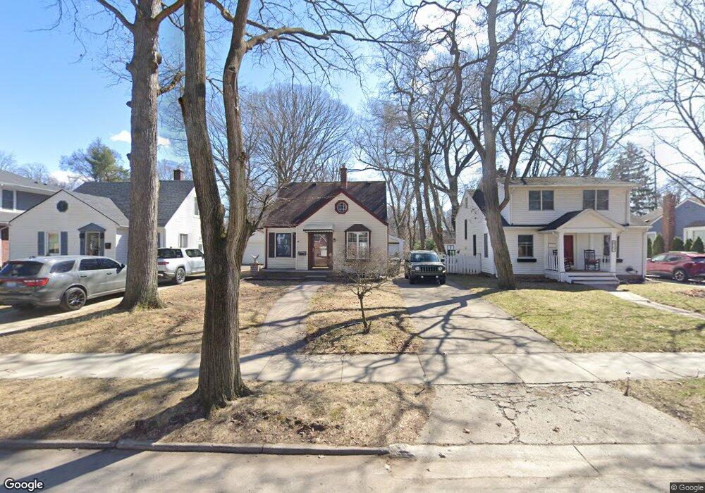
821 Royal Ave Royal Oak, MI 48073
Estimated Value: $298,658 - $361,000
1
Bed
1
Bath
968
Sq Ft
$342/Sq Ft
Est. Value
About This Home
This home is located at 821 Royal Ave, Royal Oak, MI 48073 and is currently estimated at $330,915, approximately $341 per square foot. 821 Royal Ave is a home located in Oakland County with nearby schools including Addams Elementary, Royal Oak Middle School, and Royal Oak High School.
Ownership History
Date
Name
Owned For
Owner Type
Purchase Details
Closed on
Oct 5, 2023
Sold by
Wolak Patrick and Wolak Ann
Bought by
Wolak Patrick and Wolak Patrick
Current Estimated Value
Purchase Details
Closed on
May 3, 2014
Sold by
Wolak Patrick
Bought by
Wolak Patrick and Wolak Ann
Purchase Details
Closed on
Oct 30, 2001
Sold by
Quarderer Scott M
Bought by
Wolak Patrick
Home Financials for this Owner
Home Financials are based on the most recent Mortgage that was taken out on this home.
Original Mortgage
$8,600
Interest Rate
7.07%
Purchase Details
Closed on
Jan 20, 2000
Sold by
Frentz George
Bought by
Quarderer Scott M
Create a Home Valuation Report for This Property
The Home Valuation Report is an in-depth analysis detailing your home's value as well as a comparison with similar homes in the area
Home Values in the Area
Average Home Value in this Area
Purchase History
| Date | Buyer | Sale Price | Title Company |
|---|---|---|---|
| Wolak Patrick | -- | None Listed On Document | |
| Wolak Patrick | -- | None Available | |
| Wolak Patrick | $174,000 | -- | |
| Quarderer Scott M | $162,000 | -- |
Source: Public Records
Mortgage History
| Date | Status | Borrower | Loan Amount |
|---|---|---|---|
| Previous Owner | Wolak Patrick | $8,600 | |
| Closed | Quarderer Scott M | -- |
Source: Public Records
Tax History Compared to Growth
Tax History
| Year | Tax Paid | Tax Assessment Tax Assessment Total Assessment is a certain percentage of the fair market value that is determined by local assessors to be the total taxable value of land and additions on the property. | Land | Improvement |
|---|---|---|---|---|
| 2024 | $2,249 | $128,200 | $0 | $0 |
| 2022 | $2,658 | $111,660 | $0 | $0 |
| 2020 | $2,186 | $103,310 | $0 | $0 |
| 2018 | $2,658 | $87,660 | $0 | $0 |
| 2017 | $2,555 | $87,660 | $0 | $0 |
| 2015 | -- | $75,000 | $0 | $0 |
| 2014 | -- | $73,180 | $0 | $0 |
| 2011 | -- | $59,850 | $0 | $0 |
Source: Public Records
Map
Nearby Homes
- 816 Royal Ave
- 922 Butternut Ave
- 1123 Royal Ave
- 817 Magnolia Ave
- 2423 Crooks Rd
- 1433 Royal Ave
- 920 W Windemere Ave
- 1012 W Windemere Ave
- 2814 Crooks Rd
- 1211 Smith Ave
- 1212 W Windemere Ave
- 2438 Evergreen Dr
- 2931 N Main St
- 1304 W Windemere Ave
- 306 W 13 Mile Rd
- 2115 Marywood Dr
- 508 W Houstonia Ave
- 3553 Marais Ave
- 3316 Vinsetta Blvd
- 2714 Glenview Ave
- 817 Royal Ave
- 813 Royal Ave Unit Bldg-Unit
- 813 Royal Ave
- 827 Royal Ave
- 907 Royal Ave
- 809 Royal Ave
- 805 Royal Ave
- 803 Royal Ave
- 821 Ellen Ave
- 902 Hickory Ave
- 817 Ellen Ave
- 822 Royal Ave
- 913 Royal Ave
- 813 Ellen Ave
- 906 Hickory Ave
- 727 Royal Ave
- 808 Royal Ave
- 807 Ellen Ave
- 917 Royal Ave
- 912 Hickory Ave