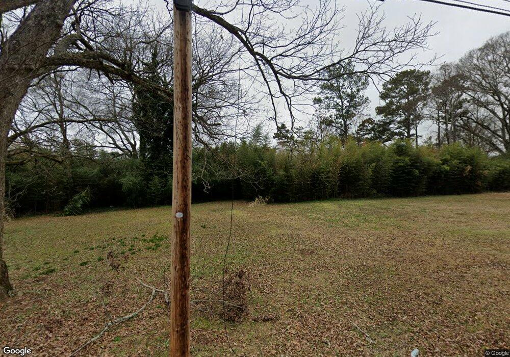
821 Scales St Griffin, GA 30224
Spalding County NeighborhoodEstimated Value: $31,000 - $142,000
2
Beds
1
Bath
576
Sq Ft
$163/Sq Ft
Est. Value
About This Home
This home is located at 821 Scales St, Griffin, GA 30224 and is currently estimated at $93,667, approximately $162 per square foot. 821 Scales St is a home located in Spalding County with nearby schools including Anne Street Elementary School, Rehoboth Road Middle School, and Griffin High School.
Ownership History
Date
Name
Owned For
Owner Type
Purchase Details
Closed on
Nov 6, 2013
Sold by
Griffin Parkside Developer
Bought by
Housing Authority Of The City
Current Estimated Value
Purchase Details
Closed on
Sep 20, 2007
Sold by
Glover Robert H
Bought by
Griffin Parkside Developers Ll
Purchase Details
Closed on
May 23, 1995
Sold by
Glover Robert
Bought by
Darsey Wanda
Purchase Details
Closed on
Nov 30, 1977
Sold by
Glover Robert H
Bought by
Branch Robert W
Purchase Details
Closed on
Sep 18, 1972
Sold by
Millican Earl E Etal
Bought by
Spalding Land Development Co Inc
Purchase Details
Closed on
Jun 30, 1972
Sold by
D'Antignac Minnie Topham
Bought by
Millican Earl E Jr Etal
Purchase Details
Closed on
Jun 16, 1959
Bought by
D'Antignac Minnie Topham
Create a Home Valuation Report for This Property
The Home Valuation Report is an in-depth analysis detailing your home's value as well as a comparison with similar homes in the area
Home Values in the Area
Average Home Value in this Area
Purchase History
| Date | Buyer | Sale Price | Title Company |
|---|---|---|---|
| Housing Authority Of The City | $19,600 | -- | |
| Griffin Parkside Developers Ll | $15,000 | -- | |
| Darsey Wanda | $10,000 | -- | |
| Branch Robert W | $11,000 | -- | |
| Glover Robert H | -- | -- | |
| Spalding Land Development Co Inc | -- | -- | |
| Millican Earl E Jr Etal | $45,000 | -- | |
| D'Antignac Minnie Topham | -- | -- |
Source: Public Records
Mortgage History
| Date | Status | Borrower | Loan Amount |
|---|---|---|---|
| Closed | Darsey Wanda | $0 |
Source: Public Records
Tax History Compared to Growth
Tax History
| Year | Tax Paid | Tax Assessment Tax Assessment Total Assessment is a certain percentage of the fair market value that is determined by local assessors to be the total taxable value of land and additions on the property. | Land | Improvement |
|---|---|---|---|---|
| 2024 | $116 | $3,040 | $3,040 | $0 |
| 2023 | $116 | $3,040 | $3,040 | $0 |
| 2022 | $76 | $1,900 | $1,900 | $0 |
| 2021 | $76 | $1,900 | $1,900 | $0 |
| 2020 | $76 | $1,900 | $1,900 | $0 |
| 2019 | $77 | $1,900 | $1,900 | $0 |
| 2018 | $80 | $1,900 | $1,900 | $0 |
| 2017 | $79 | $1,900 | $1,900 | $0 |
| 2016 | $80 | $1,900 | $1,900 | $0 |
| 2015 | $81 | $1,900 | $1,900 | $0 |
| 2014 | $78 | $1,900 | $1,900 | $0 |
Source: Public Records
Map
Nearby Homes
- 811 Westbrook St
- 754 Scales St
- 731 Scales St
- 854 Scales St
- 717 Scales St
- 1022 Beck St
- 820 Pamela Dr
- 825 Pamela Dr
- 1012 W College Extension
- 1054 W College Street Extension
- 320 S 12th St
- 1228-1328 Edgewood Ave
- 915 W Poplar St
- 115 Kennelsman Dr Unit LOT FC 1
- 305 S 18th St
- 309 Cherokee Cir
- 1313 D F Fuller Dr
- 1264 Cherokee Ave
- 650 S Hill St
- 822 W Solomon St
