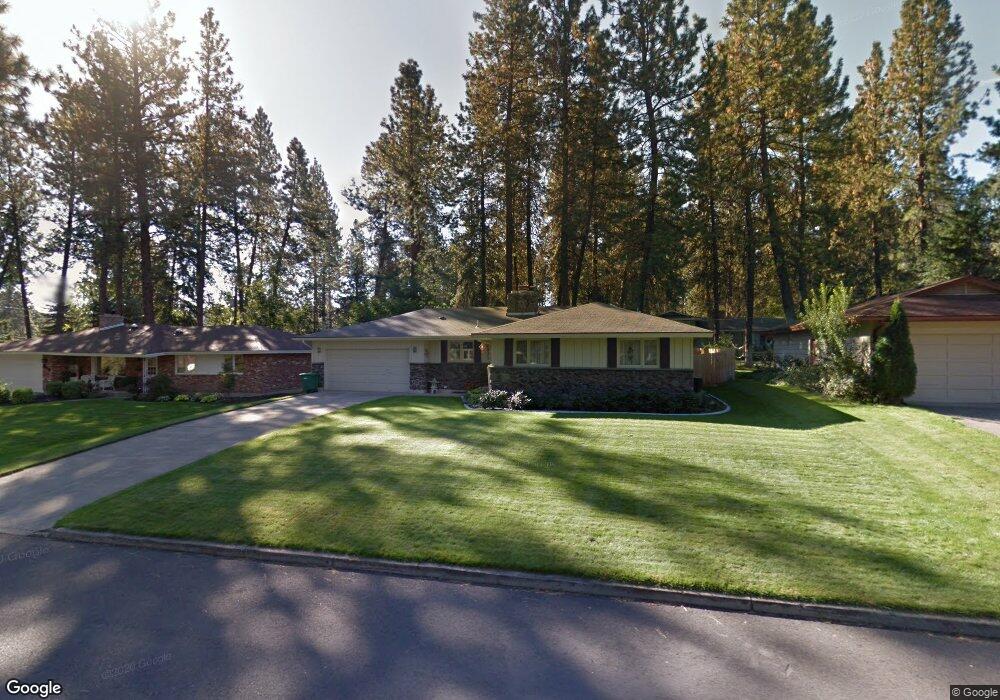
821 W Rolland Ave Spokane, WA 99218
Estimated Value: $467,405 - $507,000
6
Beds
2
Baths
1,405
Sq Ft
$347/Sq Ft
Est. Value
About This Home
This home is located at 821 W Rolland Ave, Spokane, WA 99218 and is currently estimated at $488,101, approximately $347 per square foot. 821 W Rolland Ave is a home located in Spokane County with nearby schools including Brentwood Elementary School, Northwood Middle School, and Mead Senior High School.
Ownership History
Date
Name
Owned For
Owner Type
Purchase Details
Closed on
Jun 11, 1999
Sold by
Sweeney William R
Bought by
Sweeney Sandra L
Current Estimated Value
Purchase Details
Closed on
Mar 30, 1998
Sold by
Hough Helen M and West Shirley A
Bought by
Sweeney William R and Sweeney Sandra L
Home Financials for this Owner
Home Financials are based on the most recent Mortgage that was taken out on this home.
Original Mortgage
$100,000
Outstanding Balance
$18,917
Interest Rate
7.06%
Estimated Equity
$469,184
Create a Home Valuation Report for This Property
The Home Valuation Report is an in-depth analysis detailing your home's value as well as a comparison with similar homes in the area
Home Values in the Area
Average Home Value in this Area
Purchase History
| Date | Buyer | Sale Price | Title Company |
|---|---|---|---|
| Sweeney Sandra L | -- | -- | |
| Sweeney William R | $125,000 | Pioneer Title Company |
Source: Public Records
Mortgage History
| Date | Status | Borrower | Loan Amount |
|---|---|---|---|
| Open | Sweeney William R | $100,000 |
Source: Public Records
Tax History Compared to Growth
Tax History
| Year | Tax Paid | Tax Assessment Tax Assessment Total Assessment is a certain percentage of the fair market value that is determined by local assessors to be the total taxable value of land and additions on the property. | Land | Improvement |
|---|---|---|---|---|
| 2025 | $4,136 | $403,600 | $105,000 | $298,600 |
| 2024 | $4,136 | $404,000 | $95,000 | $309,000 |
| 2023 | $3,773 | $404,000 | $95,000 | $309,000 |
| 2022 | $3,656 | $406,500 | $95,000 | $311,500 |
| 2021 | $3,322 | $288,000 | $50,000 | $238,000 |
| 2020 | $3,126 | $258,200 | $50,000 | $208,200 |
| 2019 | $2,859 | $238,900 | $38,000 | $200,900 |
| 2018 | $2,936 | $209,100 | $34,000 | $175,100 |
| 2017 | $2,659 | $190,100 | $34,000 | $156,100 |
| 2016 | $2,552 | $177,300 | $24,000 | $153,300 |
| 2015 | $2,353 | $167,100 | $24,000 | $143,100 |
| 2014 | -- | $167,100 | $24,000 | $143,100 |
| 2013 | -- | $0 | $0 | $0 |
Source: Public Records
Map
Nearby Homes
- 811 W Teal Ave
- 1026 W Woodway Ave
- 11629 N Madison St
- 11315 N Madison St
- 11816 N Wall St
- 1026 W Bellwood Dr
- 912 W Bellwood Dr
- 221 W Falcon Ave
- 1425 W Parkwood Ct
- 212 W Alta Ct
- 9518 N Normandie St
- 10520 N College Cir
- 10401 N College Cir
- 5 E Chatham Ave
- 105 E Falcon Ave
- 1523 W Ardmore Dr
- 11302 N Lloyd Charles Ln
- 12125 N Normandie St
- 1411 W Toni Rae Dr
- 12720 N Vistawood Ct
- 815 W Rolland Ave
- 901 W Rolland Ave
- 818 W Teal Ave
- 902 W Teal Ave
- 809 W Rolland Ave
- 909 W Rolland Ave
- 810 W Teal Ave
- 820 W Rolland Ave
- 812 W Rolland Ave
- 910 W Teal Ave
- 902 W Rolland Ave
- 808 W Rolland Ave
- 806 W Teal Ave
- 805 W Rolland Ave
- 915 W Rolland Ave
- 908 W Rolland Ave
- 916 W Teal Ave
- 11421 N Post St
- 821 W Woodway Ave
- 815 W Woodway Ave